Map and Street Guide of El Paso, Texas circa 1925
Mapa y guía callejera de El Paso Texas
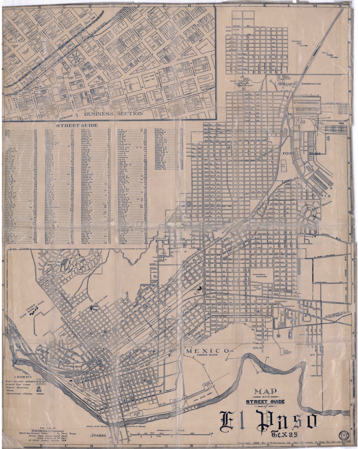
Map and Street Guide of El Paso, Texas circa 1925
Map and street guide of El Paso, Texas. The map includes right-of-way streets, street car lines, public schools, parks and irrigation canals. An inset of the city's business section is shown above the street guide. Highlighted are the Texas State School of Mines; the Santa Fe St. and Stanton St. bridges into Juarez, Mexico; Cordova Island, Mexico; and the area of Ft. Bliss Military Reservation.
Report this entry
More from the same community-collection
Y. M. C. A. Building - El Paso, Texas
The postcard shows the old Y.M.C.A. Building. Y.M.C.A. stands ...
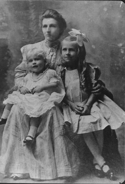
Getrude Fitzgerald with Children - El Paso, Texas
The image shows Gertrude Fitzgerald with two of her Children. ...
Adolfo Perales and Clementina Ortega Perales
The picture shows Adolfo Perales and Clementina Ortega Perales ...
Margie Macias Yannuzzi - El Paso, Texas
Margie Macias Yannuzzi's picture was taken on her wedding day in ...
Cecilia Porras (Bustamante) - El Paso, Texas - 1953
The bride in this beautiful wedding dress is Cecilia Porras ...
Beatriz Amparan Gutierrez and Carmelo Gutierrez
The photograph shows Beatriz Amparan Gutierrez and Carmelo ...
Arturo Pedregón and Benita Duarte Pedregón
The picture shows the couple Arturo Pedregón and Benita Duarte ...
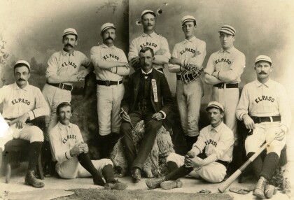
El Paso City Baseball Team and Charles F. Jones
Champions of the Southwest-- in the middle sitting is the ...
