Map and Street Guide of El Paso, Texas circa 1925
Mapa y guía callejera de El Paso Texas
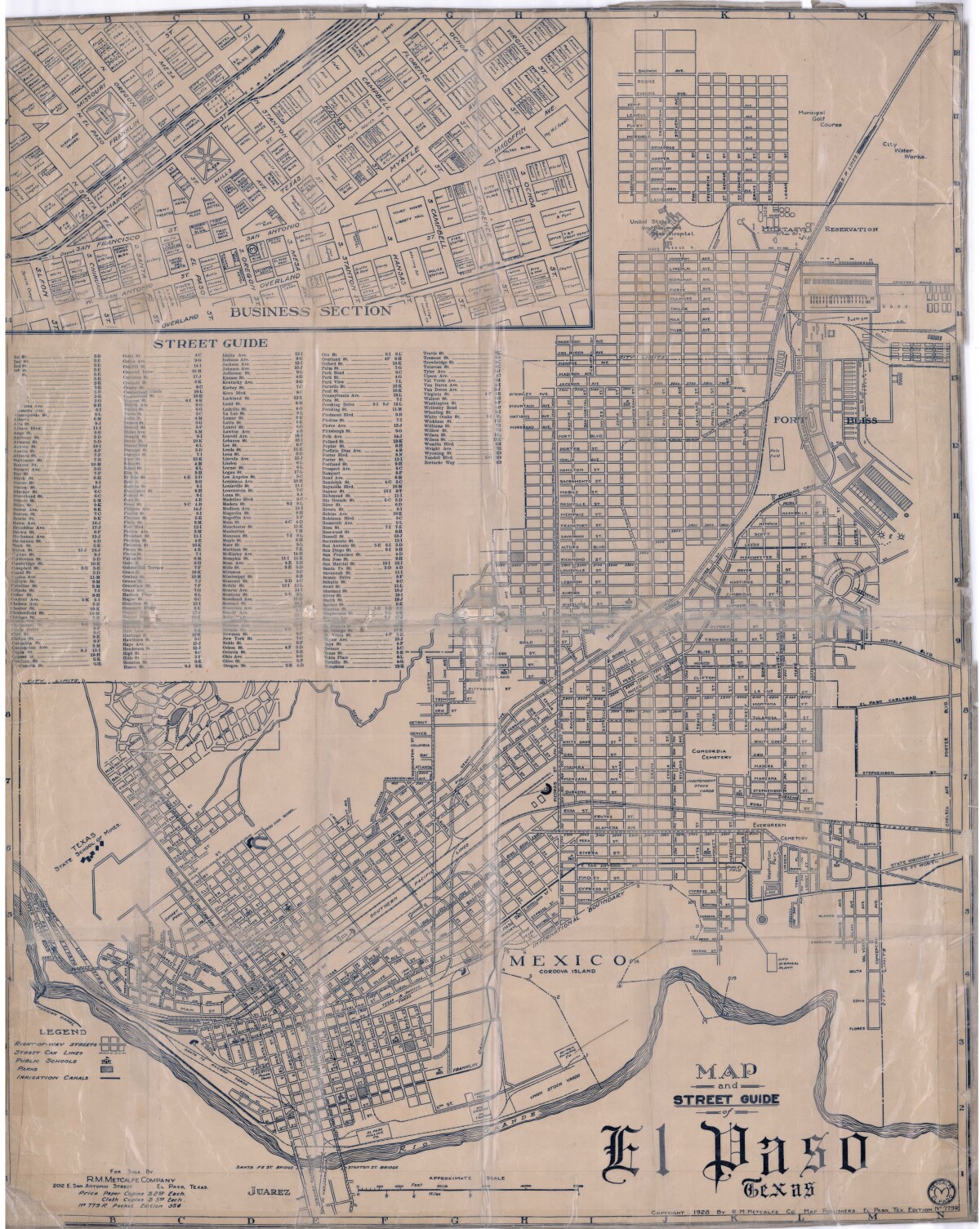
Map and Street Guide of El Paso, Texas circa 1925
Map and street guide of El Paso, Texas. The map includes right-of-way streets, street car lines, public schools, parks and irrigation canals. An inset of the city's business section is shown above the street guide. Highlighted are the Texas State School of Mines; the Santa Fe St. and Stanton St. bridges into Juarez, Mexico; Cordova Island, Mexico; and the area of Ft. Bliss Military Reservation.
Report this entry
More from the same community-collection
Annie's Adventures El Paso's Ambassador of Fun
El Paso's Ambassador of Fun Personal shopper/buyer, ...
Annie's Adventures El Paso's Ambassador of Fun
El Paso's Ambassador of Fun Personal shopper/buyer, ...
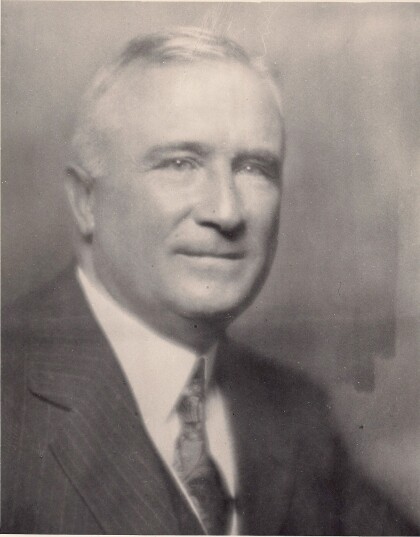
Gus Momsen, Sr. founder of Momsen Dunnegan Ryan Company, 1913
Mr. Momsen formed a partnership with Dunnegan and Ryan and was ...
Carl F. Dunnegan, of Momsen Dunnegan Ryan Company, 1913
Mr. Dunnegan was President in 1942 and retired in 1948.
George B. Ryan of Momsen Dunnegan Ryan Company, 1913
Mr. Ryan was General Manager in 1919, a position he held until ...
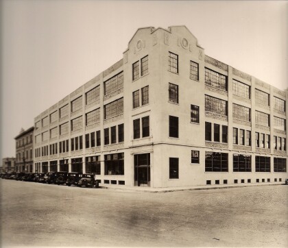
Momsen Dunnegan Ryan Company in 1933
This is a photo of the Momsen Dunnegan Ryan Company building ...
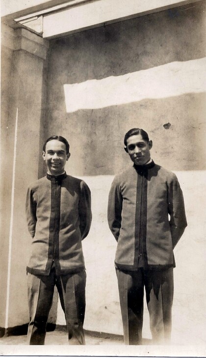
Roberto Betancourt Arce (Left) - 1927 - El Paso, Texas
03/20/1927 My father, Roberto Betancourt Arce, at age 18. ...


