Map and Street Guide of El Paso, Texas circa 1925
Mapa y guía callejera de El Paso Texas
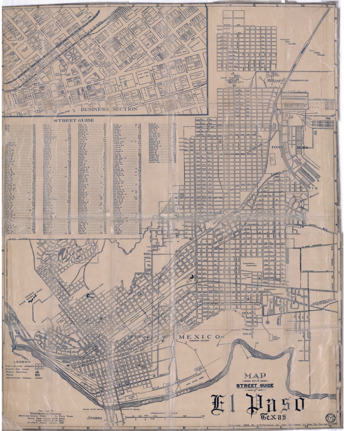
Map and Street Guide of El Paso, Texas circa 1925
Map and street guide of El Paso, Texas. The map includes right-of-way streets, street car lines, public schools, parks and irrigation canals. An inset of the city's business section is shown above the street guide. Highlighted are the Texas State School of Mines; the Santa Fe St. and Stanton St. bridges into Juarez, Mexico; Cordova Island, Mexico; and the area of Ft. Bliss Military Reservation.
Report this entry
More from the same community-collection
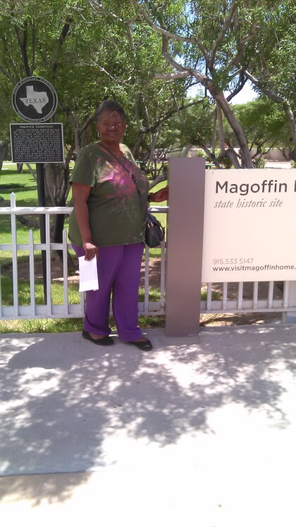
In Front of the Magoffin House - El Paso, Texas
I am not a native El Pasoan, so I found this house very ...
John Wesley Hardin Shooting - Video
In 1895 the sheriff of El Paso tried to make the town a bit less ...
Marshall Dallas Stoudenmire Gunfight – Video
Dallas Stoudenmire (December 11, 1845 – September 18, 1882) ...
Healthy Kids Day at Southwest University Park
Project Amistad offers many free services to the community of El ...
