El Paso (P-4) Sectional Aeronautical Chart
Tabla Aeronáutica Seccional El Paso (P-4)
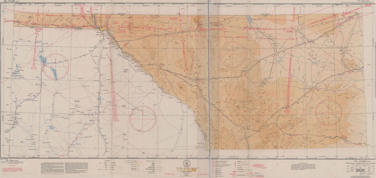
El Paso (P-4) Sectional Aeronautical Chart
Published in April, 1941, this aeronautical map indicates the "shortest and most direct courses between points in question". Population statistics for El Paso, Midland, Sanderson, Texas; and Ciudad Juarez, Mexico are provided. The legend includes symbols for army, navy and marine corps fields; commercial and municipal airports; lighting facilities and airspace reservations.
Report this entry
More from the same community-collection
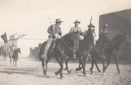
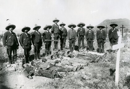
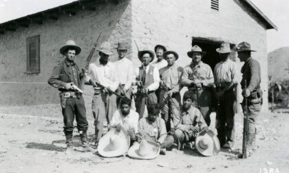
Soldiers During The Mexican Revolution
Notation on front of image: "Villa" Visible: Four men riding ...
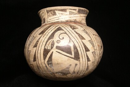
Casas Grande Pottery with the El Paso Museum of Archaeology Logo
Casas Grandes was a prehistoric trading center/religious center ...
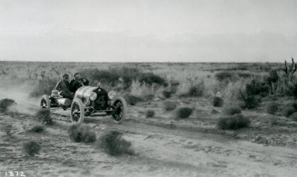
Johnny Hutchins in Car Race - El Paso, Texas
The picture shows driver Johnny Hutchins during the annual El ...
El Paso County Historical Society
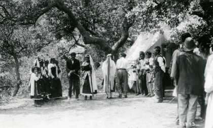
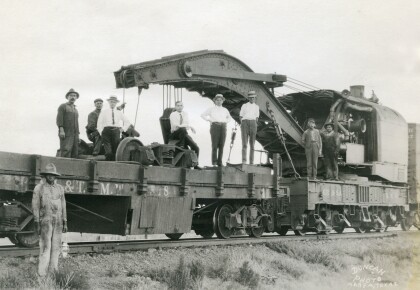
Unidentified men on top of the train, and in front is an African ...
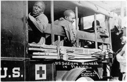
Wounded Soldiers - Buffalo Soldiers - 1916
In June, Pershing received intelligence that Villa was at ...
