El Paso (P-4) Sectional Aeronautical Chart
Tabla Aeronáutica Seccional El Paso (P-4)
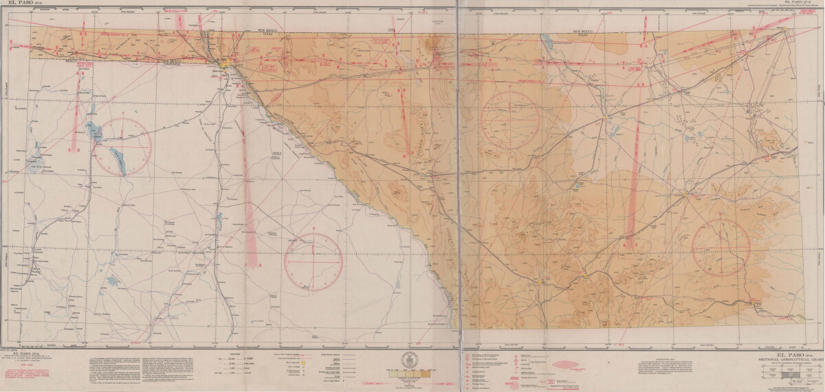
El Paso (P-4) Sectional Aeronautical Chart
Published in April, 1941, this aeronautical map indicates the "shortest and most direct courses between points in question". Population statistics for El Paso, Midland, Sanderson, Texas; and Ciudad Juarez, Mexico are provided. The legend includes symbols for army, navy and marine corps fields; commercial and municipal airports; lighting facilities and airspace reservations.
Report this entry
More from the same community-collection
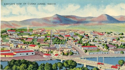
Juarez bird's-eye view postcard
This postcard from the 1940s is a scene of Juarez, Mexico. The ...
Katherine A. Mullings - University of Texas
Katherine A. Mullings - University of Texas - Graduation - May ...
George A Sanchez and Jesusita (kila) Evaro Sanchez
Wedding photograph and 50th anniversary photograph of George A. ...
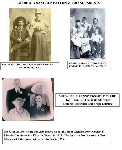
George A. Sanchez Paternal Grandparents
George A. Sanchez grandfather, Felipe Sanchez, moved his family ...
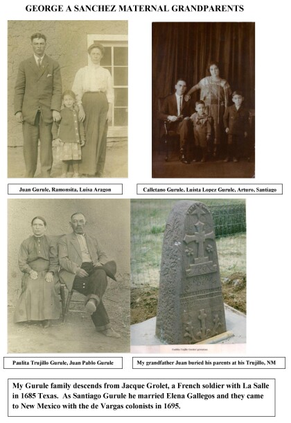
George A. Sanchez Maternal Grandparents
The Gurule family descends from Jacque Grolet, a french soldier ...

