El Paso (P-4) Sectional Aeronautical Chart
Tabla Aeronáutica Seccional El Paso (P-4)
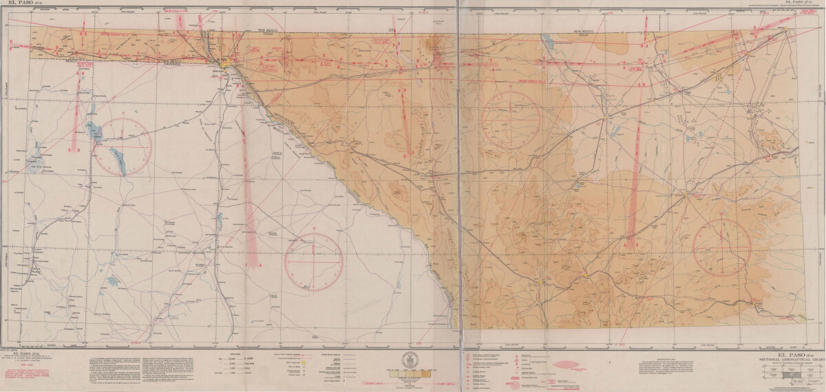
El Paso (P-4) Sectional Aeronautical Chart
Published in April, 1941, this aeronautical map indicates the "shortest and most direct courses between points in question". Population statistics for El Paso, Midland, Sanderson, Texas; and Ciudad Juarez, Mexico are provided. The legend includes symbols for army, navy and marine corps fields; commercial and municipal airports; lighting facilities and airspace reservations.
Report this entry
More from the same community-collection
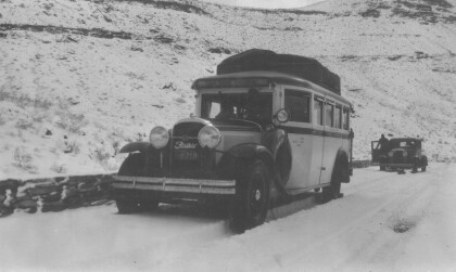
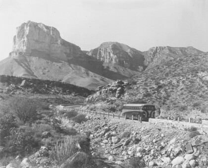
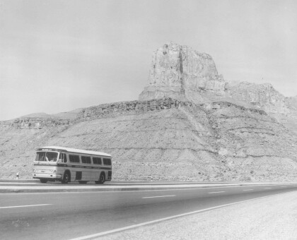
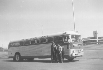
Guadalupe Pass - Carlsbad Cavern Coaches - 1930 - 1939
Guadalupe Pass - Bus No.1 on Guadalupe Pass. Carlsbad Cavern ...
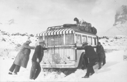
Carlsbad Caverns Coaches - 1930 - 1939
Carlsbad Caverns Coaches - 1930 - 1939. Passengers helping out ...
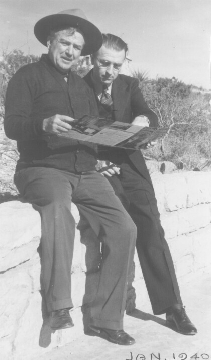
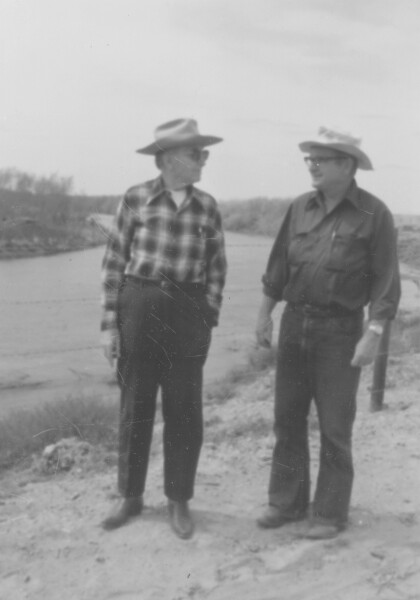
Col. Boles and Dale Resler - 1940
Col. Boles and Dale Resler - 1940. Col. Boles is to the left of ...
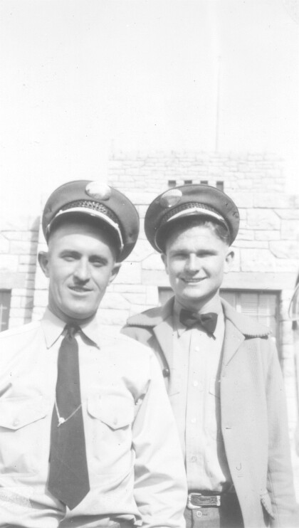
Dale Resler - Carlsbad Cavern Coaches
Dale Resler - Carlsbad Cavern Coaches - Brand new 51 Passenger ...
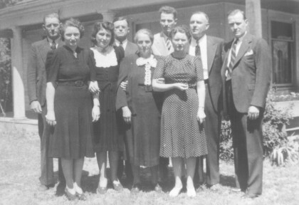
Jack, Nona, Daurice, and Dale Resler - 1964
Jack, Nona, Daurice, and Dale Resler - 1964 Uncle Paul Dyal, ...
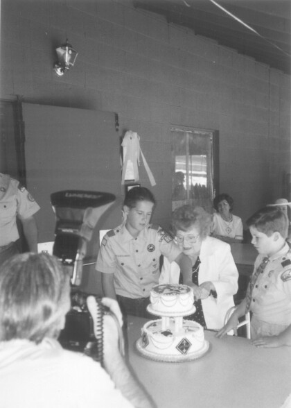
Nona Resler - 97th Birthday -1998
Cody and Zach helped their great-grandmother cut the birthday ...
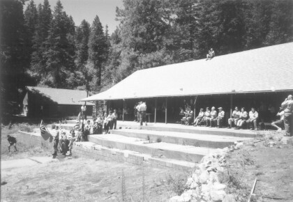
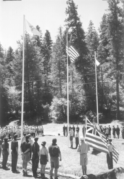
Camp Dale Resler - 1998 - Flag Ceremony
Flag ceremony -- Nona Resler turns 97years old and Camp Dale ...
“Malagueño Varieté” by Rafael González
The Consulate General of Mexico in El Paso and Centro Cultural ...
“Malagueño Varieté” by Rafael González
The Consulate General of Mexico in El Paso and Centro Cultural ...
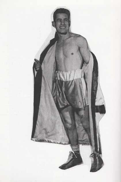
Manny Ortega - 1940 - 1949 - El Paso, Texas
Manny Ortega never got a title shot. What he did do to prove ...
