El Paso (P-4) Sectional Aeronautical Chart
Tabla Aeronáutica Seccional El Paso (P-4)
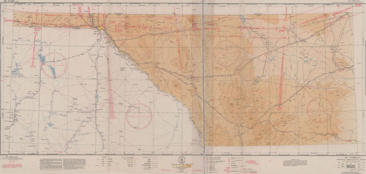
El Paso (P-4) Sectional Aeronautical Chart
Published in April, 1941, this aeronautical map indicates the "shortest and most direct courses between points in question". Population statistics for El Paso, Midland, Sanderson, Texas; and Ciudad Juarez, Mexico are provided. The legend includes symbols for army, navy and marine corps fields; commercial and municipal airports; lighting facilities and airspace reservations.
Report this entry
More from the same community-collection
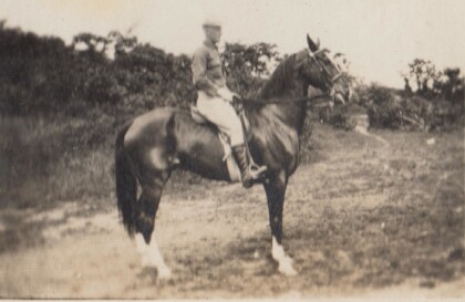
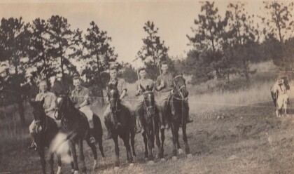
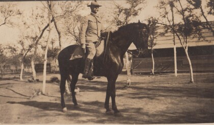
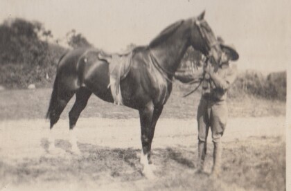
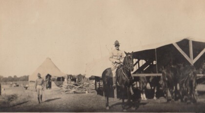
H. E. Featherstone on Horseback circa 1915
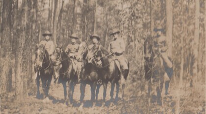
This is H.E. Featherstone, possibly on Sandy, the horse he rode ...
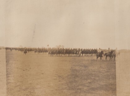
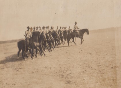
Sgt. Carr And His Platoon - 1910 - 1919
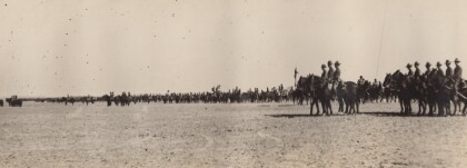
This is the Virginia Cavalry, at drill. The closest horses are ...
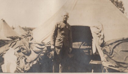
H.E. Featherstone at Gordonsville, Virginia
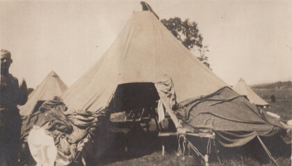
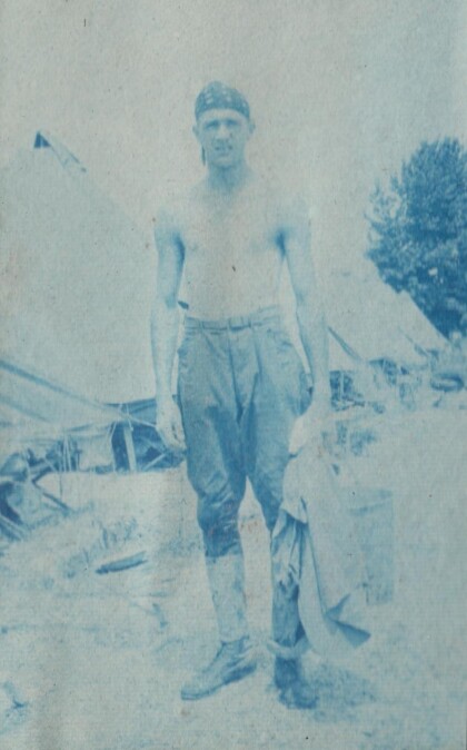
Featherstone in front of his tent at the camp in Gordonsville.
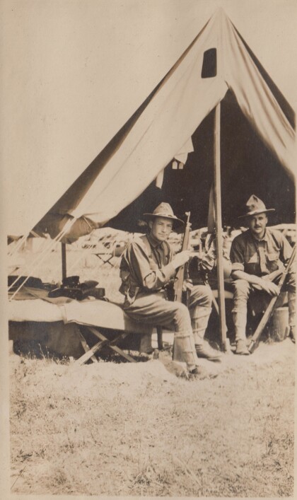
Blakeley, Bourne, Watkins, and Jones
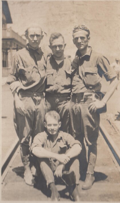
These soldiers are probably part of the Richmond Light Infantry, ...
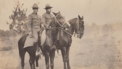
Captains Hewitt and Puller, Virginia Cavalry
Two officers from the Virginia Cavalry serving on the border.
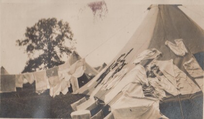
My tent at Gordonsville, Virginia
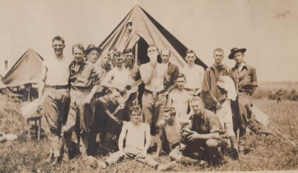
Drill camp for the Richmond Light Infantry. Apparently laundry ...
