El Paso (P-4) Sectional Aeronautical Chart
Tabla Aeronáutica Seccional El Paso (P-4)
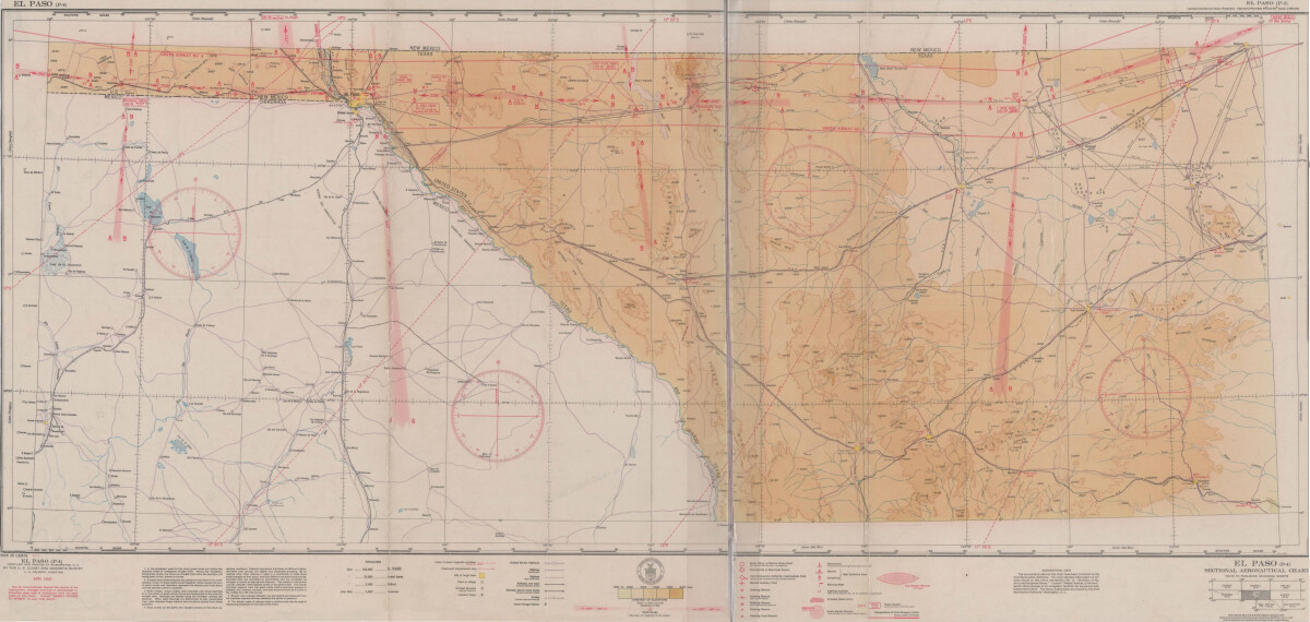
El Paso (P-4) Sectional Aeronautical Chart
Published in April, 1941, this aeronautical map indicates the "shortest and most direct courses between points in question". Population statistics for El Paso, Midland, Sanderson, Texas; and Ciudad Juarez, Mexico are provided. The legend includes symbols for army, navy and marine corps fields; commercial and municipal airports; lighting facilities and airspace reservations.
Report this entry
More from the same community-collection
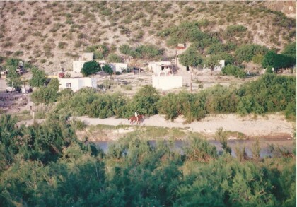
ALONG THE RIO GRANDE IN THE BIG BEND AREA
ON THE US-MEXICAN BORDER IN THE BIG BEND AREA LOOKING INTO ...
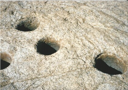
NATURAL WATER HOLES -HUECO TANKS
THESE NATURAL HOLES IN THE ROCK COLLECTED & KEPT WATER FOR LONG ...
Joe Gomez with President Bush and Laura Bush
White House dinner with the 1966 NCAA Basketball Champions Texas ...
Visiting guests arriving at Cattlemen's
Our daughter and her husband Doctors Tobery visit us from ...


