El Paso (P-4) Sectional Aeronautical Chart
Tabla Aeronáutica Seccional El Paso (P-4)
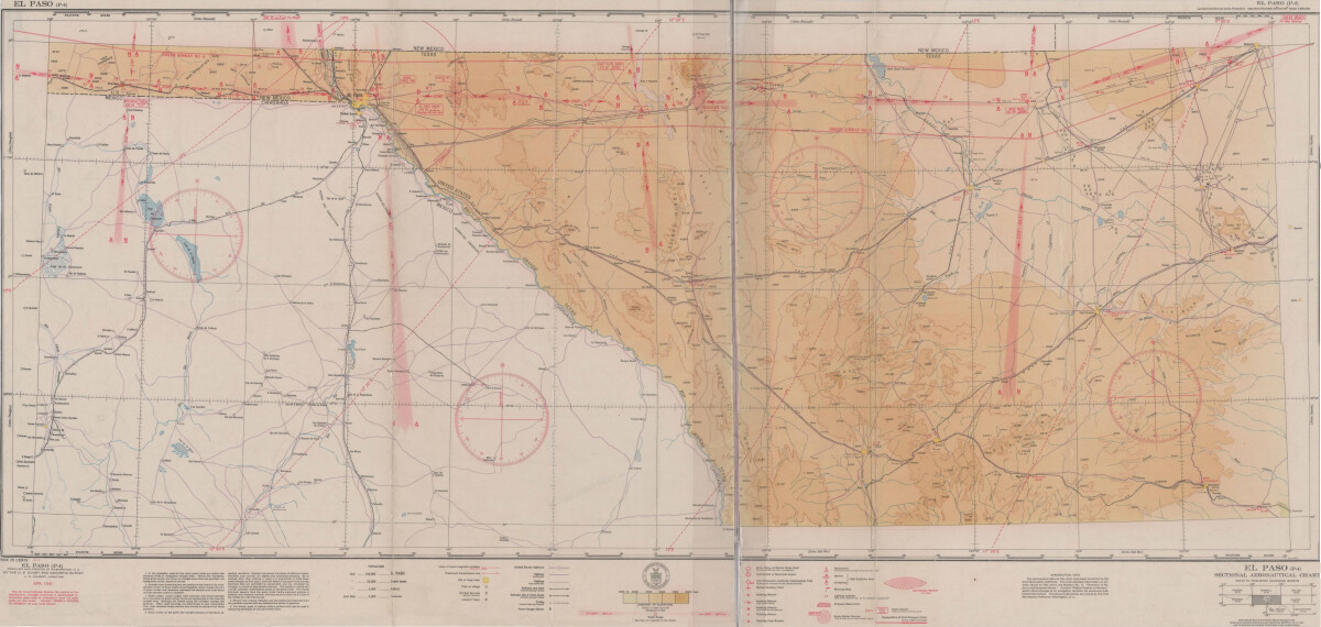
El Paso (P-4) Sectional Aeronautical Chart
Published in April, 1941, this aeronautical map indicates the "shortest and most direct courses between points in question". Population statistics for El Paso, Midland, Sanderson, Texas; and Ciudad Juarez, Mexico are provided. The legend includes symbols for army, navy and marine corps fields; commercial and municipal airports; lighting facilities and airspace reservations.
Report this entry
More from the same community-collection
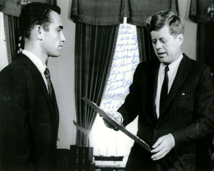
John F. Kennedy with Richard Lopez of El Paso, TX 1961
President John F. Kennedy meets with the Boys' Clubs of ...
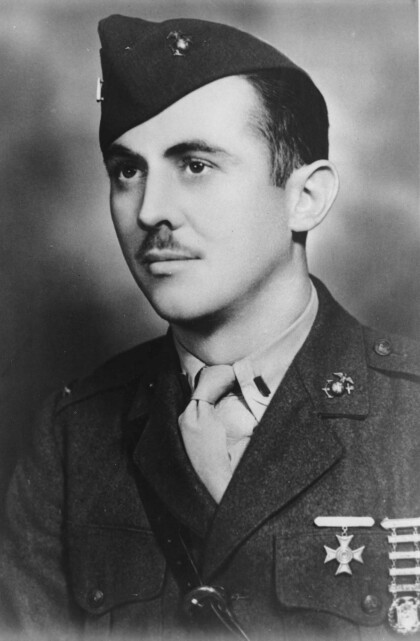
First Lieutenant William Deane Hawkins - El Paso, Texas
Deane Hawkins was a smart boy-at El Paso's Lamar and Alta Vista ...
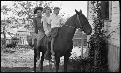
Fitzgerald Children on Horseback
Gertrude Fitzgerald took pictures of her own children as well as ...
