Pictorial Map of El Paso, Texas and Juarez, Mexico
Mapa pictórico de El Paso, Texas y de Juarez, México
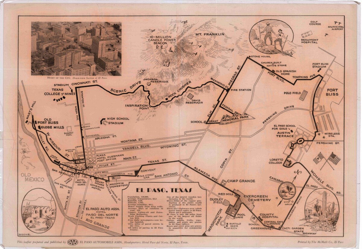
Pictorial Map of El Paso, Texas and Juarez, Mexico
Visitor guide with pictorial map of El Paso, Texas and international cross streets into Juarez, Mexico. Location of places of interest in Juarez, Mexico are noted. Reverse side shows main avenues, streets, historical landmarks, train station, parks, military fort, municipal buildings and colleges. Also notes population statistics; infra-structural, weather and agricultural details.
Report this entry
More from the same community-collection
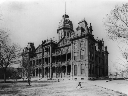
El Paso County Courthouse, 1886-1917
El Paso County Courthouse, first of three at current location.
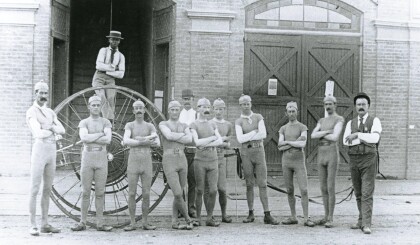
El Paso Fire Department Racing Team
These men were Southwest champions with a run time of 22 seconds ...
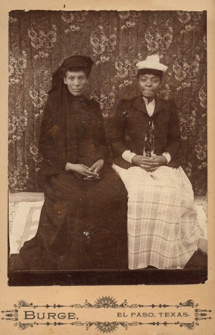
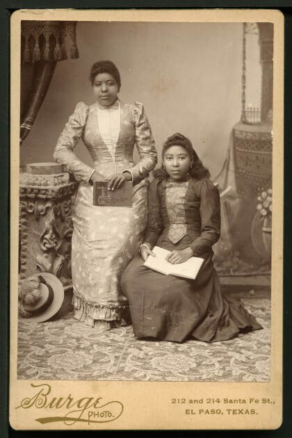
Portrait of Two African American Women
The images of these two African American Women was taken in the ...
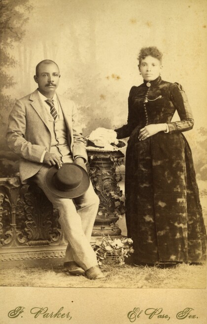
Portrait of African American Couple
The image shows a African American couple on a cabinet card. ...
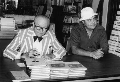
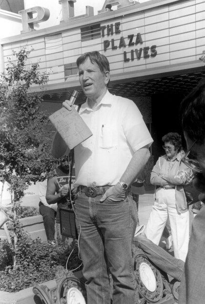
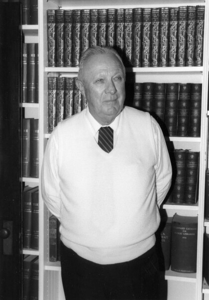
Dr. Haldeen Braddy and Manuel Acosta
Dr. Braddy personally signs his book "The Paradox of Pancho ...
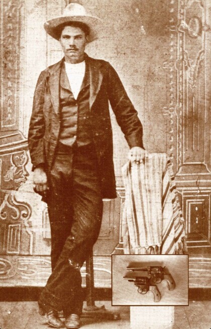
John Wesley Hardin (May 26, 1853 – August 19, 1895)
Hardin claimed to have already killed 42 men, but newspapers of ...
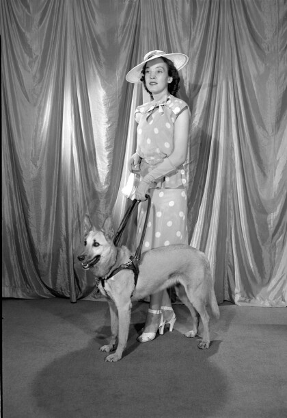
Anita Lee Blair & guide dog Fawn, El Paso, TX
Anita Blair was a state representative and community activist, ...
Pat Garrett - Customs Collector - El Paso, Texas
Patrick Floyd "Pat" Garrett (June 5, 1850 – February 29, 1908) ...
