Pictorial Map of El Paso, Texas and Juarez, Mexico
Mapa pictórico de El Paso, Texas y de Juarez, México
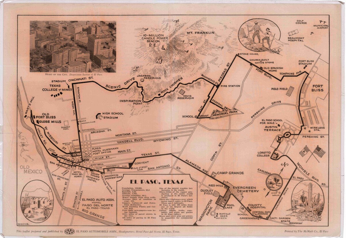
Pictorial Map of El Paso, Texas and Juarez, Mexico
Visitor guide with pictorial map of El Paso, Texas and international cross streets into Juarez, Mexico. Location of places of interest in Juarez, Mexico are noted. Reverse side shows main avenues, streets, historical landmarks, train station, parks, military fort, municipal buildings and colleges. Also notes population statistics; infra-structural, weather and agricultural details.
Report this entry
More from the same community-collection
Sign of El Paso County Courthouse
The image shows the sign of the new El Paso County Courthouse. ...
El Paso Museum of History -El Paso, Texas
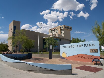
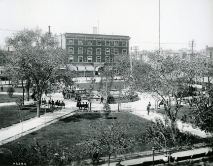
El Paso Museum of History located at Cleveland Square Park - El ...
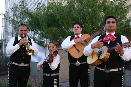
Mariachi Band at El Paso Museum of History
Mariachi Band playing good music at the El paso Museum of ...
Fashion Show - El Paso Museum of History
Fashion show at the El Paso Museum of History--downtown El Paso, ...
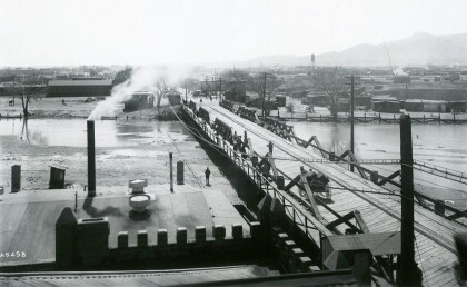
Santa Fe Bridge 1911 - El Paso, Texas
The picture shows Santa Fe Street bridge, which connected El ...
