Pictorial Map of El Paso, Texas and Juarez, Mexico
Mapa pictórico de El Paso, Texas y de Juarez, México
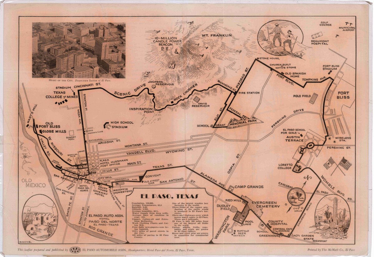
Pictorial Map of El Paso, Texas and Juarez, Mexico
Visitor guide with pictorial map of El Paso, Texas and international cross streets into Juarez, Mexico. Location of places of interest in Juarez, Mexico are noted. Reverse side shows main avenues, streets, historical landmarks, train station, parks, military fort, municipal buildings and colleges. Also notes population statistics; infra-structural, weather and agricultural details.
Report this entry
More from the same community-collection
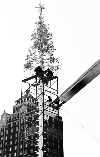
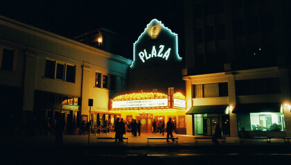
Plaza Hotel Topped Off in 1976
This picture was taken in 1976 and captures the moment when the ...
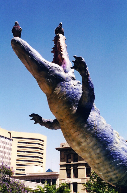
Lagarto Sculpture with Doves - El Paso, Texas
The photograph shows a part of the fiberglass sculpture by Luis ...
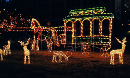
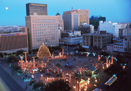
Christmas San Jacinto Plaza - El Paso, Texas - 2013
This photograph captures the Christmas lights on San Jacinto ...
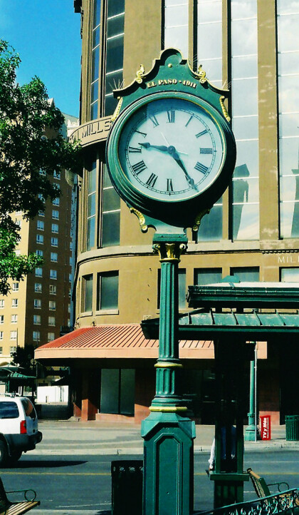
Antique Clock on San Jacinto Plaza
This clock is installed on San Jacinto Plaza. The inscription in ...
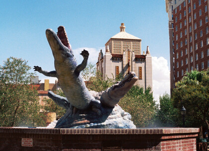
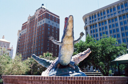
Alligator Sculpture - El Paso, Texas
The photograph shows the fiberglass sculpture by Luis Jimenez, ...
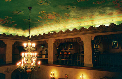
Ceiling and Chandelier in the Plaza Theater
This picture was taken in the Axelson Grand Lobby of the Plaza ...
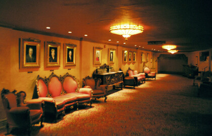
Bernice Dittmer Doner Salon in the Plaza Theater
This picture was taken in the Bernice Dittmer Doner Salon in the ...
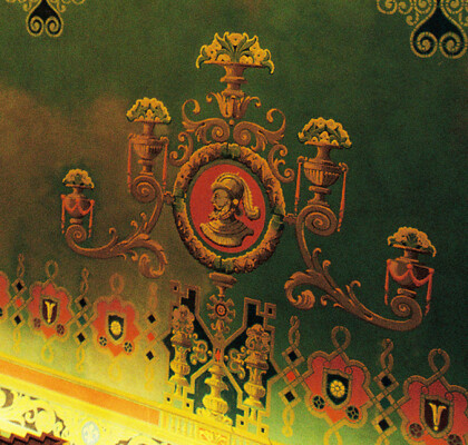
Detail of Ceiling in Plaza Theater
This image captures a detail of the intricately painted ceilings ...
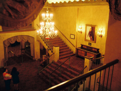
Axelson Grand Lobby in the Plaza Theater
This picture displays the Axelson Grand Lobby. It is marked by ...
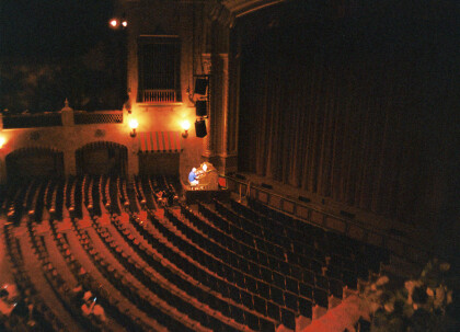
Kendle Elizabeth Kidd Performance Hall in Plaza Theater
The performance hall of the Historic Plaza Theater is named in ...
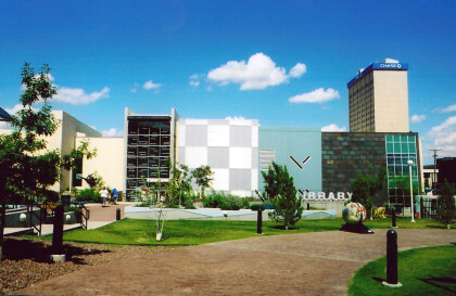
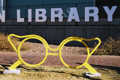
Glasses in Front of New Main Library
These large glasses were installed in front of the new main ...
