Pictorial Map of El Paso, Texas and Juarez, Mexico
Mapa pictórico de El Paso, Texas y de Juarez, México
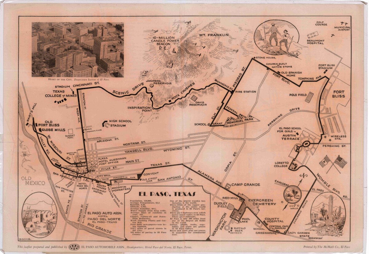
Pictorial Map of El Paso, Texas and Juarez, Mexico
Visitor guide with pictorial map of El Paso, Texas and international cross streets into Juarez, Mexico. Location of places of interest in Juarez, Mexico are noted. Reverse side shows main avenues, streets, historical landmarks, train station, parks, military fort, municipal buildings and colleges. Also notes population statistics; infra-structural, weather and agricultural details.
Report this entry
More from the same community-collection
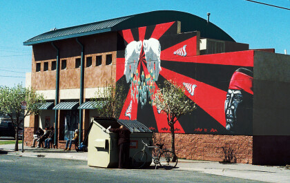
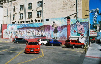
Mural, 201 E.9th near Border hwy 3-9-2010
mural, 201 E. 9th near Border hwy 3-9-2010 This is on the south ...
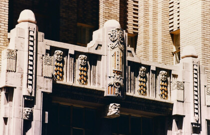
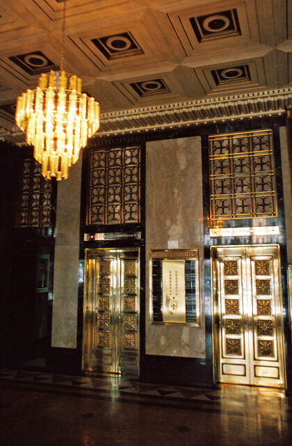
Carvings at O.T. Bassett Tower Entrance
The picture shows the entrance of the O.T. Bassett Tower. ...
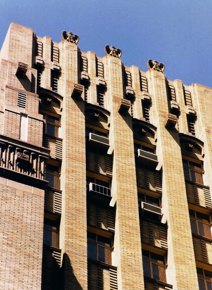
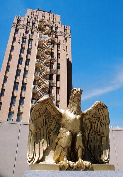
Stone Eagles on O.T. Bassett Tower
The picture shows parts of the O.T. Basset Tower. It was built ...
