Pictorial Map of El Paso, Texas and Juarez, Mexico
Mapa pictórico de El Paso, Texas y de Juarez, México
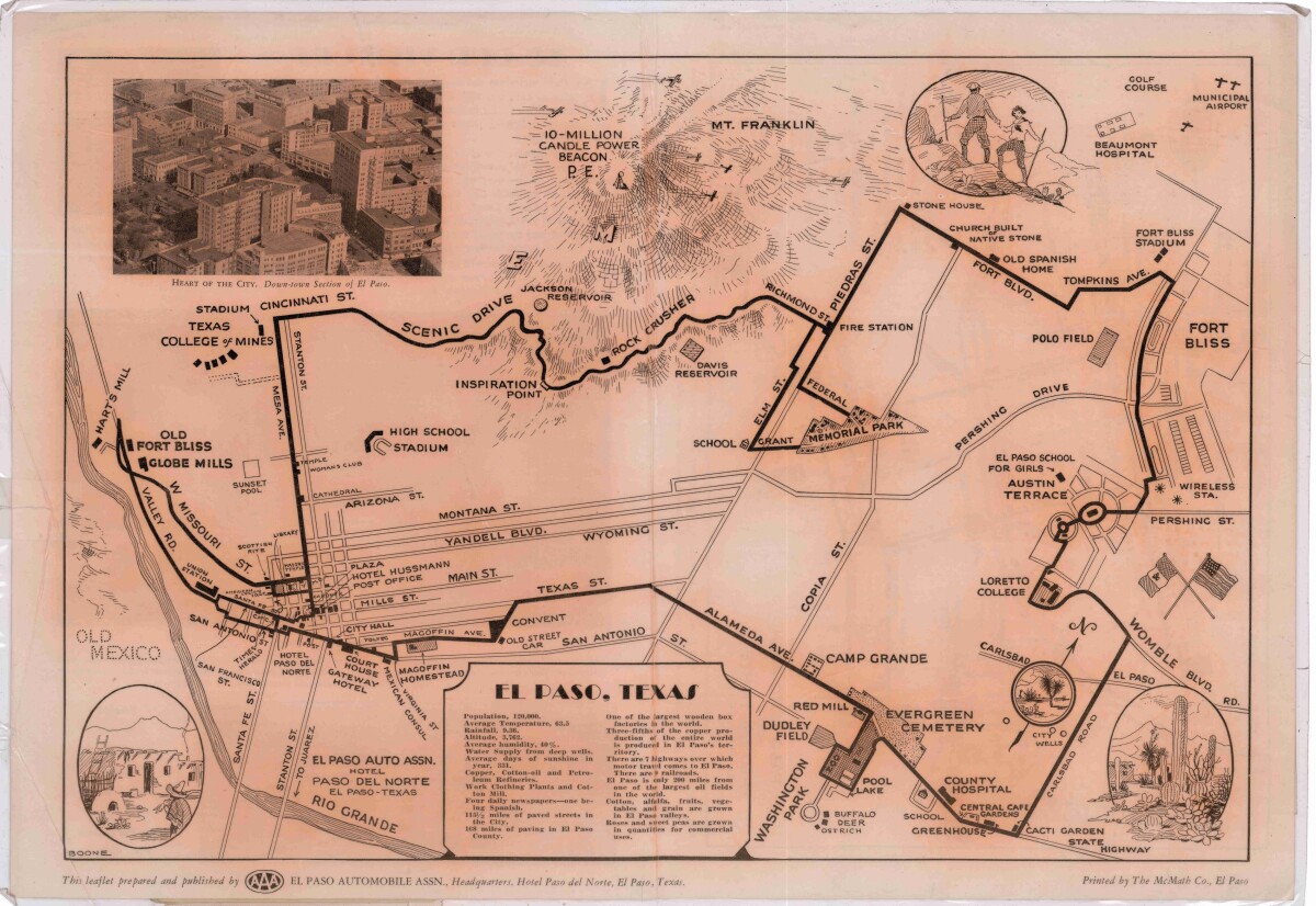
Pictorial Map of El Paso, Texas and Juarez, Mexico
Visitor guide with pictorial map of El Paso, Texas and international cross streets into Juarez, Mexico. Location of places of interest in Juarez, Mexico are noted. Reverse side shows main avenues, streets, historical landmarks, train station, parks, military fort, municipal buildings and colleges. Also notes population statistics; infra-structural, weather and agricultural details.
Report this entry
More from the same community-collection
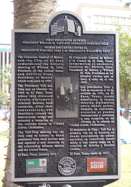
U.S. Pres. Taft / Mex. Pres. Diaz Plaque
The meeting of presidents William Howard Taft and Porfirio Díaz ...
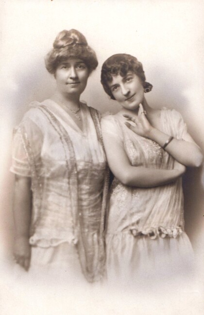
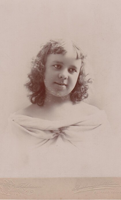
Mrs. Zach White and daughter Mary Boynkin - El Paso, Texas
Zach White, businessman, financier, and city administrator in El ...
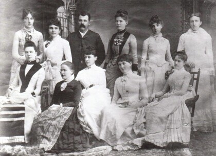
Prof. Esterly and His First Corps Of Teachers
Mr. Calvin Esterly, a retired Army officer and West Point ...
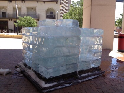
Ice Installation by Jyoti Duwadi
This large ice installation was created outside the Museum of ...
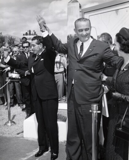
President Johnson Visits El Paso, Texas
Johnson's visit to El Paso, Texas. Johnson is holding the hand ...
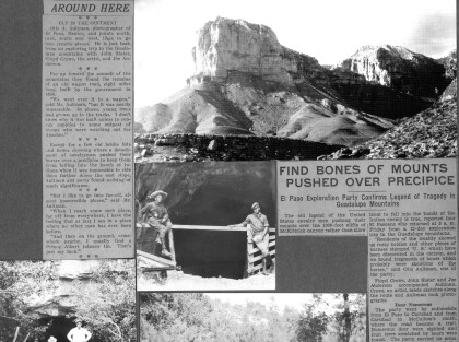
Horses Pushed Over A Cliff in the Guadalupe Mountains
A newspaper article and photographs by Otis Aultman depicting ...
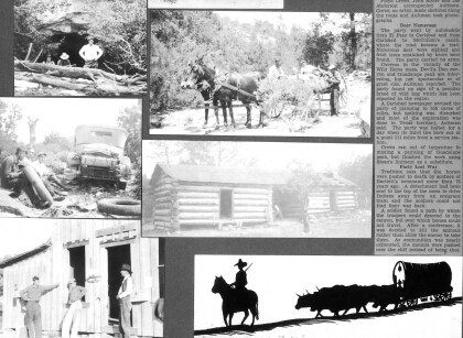
Horses Pushed Over A Cliff in the Guadalupe Mountains, continued
The continuation of a newspaper article and photographs by Otis ...
