Pictorial Map of El Paso, Texas and Juarez, Mexico
Mapa pictórico de El Paso, Texas y de Juarez, México
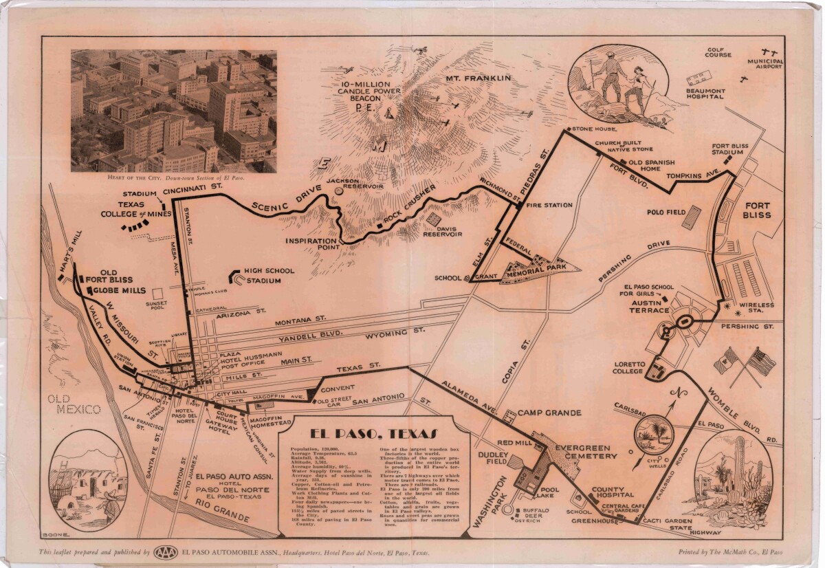
Pictorial Map of El Paso, Texas and Juarez, Mexico
Visitor guide with pictorial map of El Paso, Texas and international cross streets into Juarez, Mexico. Location of places of interest in Juarez, Mexico are noted. Reverse side shows main avenues, streets, historical landmarks, train station, parks, military fort, municipal buildings and colleges. Also notes population statistics; infra-structural, weather and agricultural details.
Report this entry
More from the same community-collection
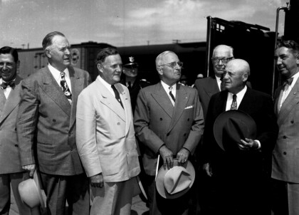
President Harry Truman Visits El Paso, Texas
September 26, 1948. First person the President looked for when ...
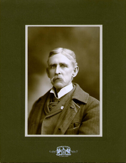
William Yandell 1842-1900 El Paso, Texas
William Martin Yandell was born in 1842 near Murfreesboro, ...
Nannie, Rust Yandell, El Paso,TX circa 1895
Nannie Rust Yandell, wife of Wm. M. Yandell , El Paso, TX circa ...
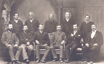
El Paso, Texas County Officers
These men were part of the first Commissioners' Court of El Paso ...
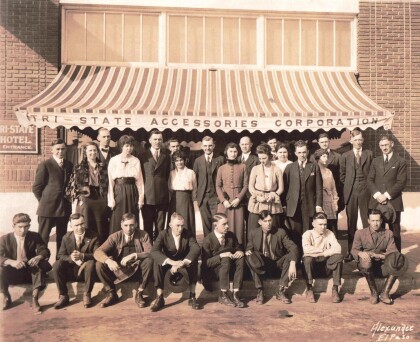
Tri State Accessories Corporation
Tri-State Accessories was located at 425-27 W. San Antonio. They ...
