North Franklin Mountain-Sheet 4747 IV NW
Montaña Franklin Norte - Hoja 4747 IV Noroeste
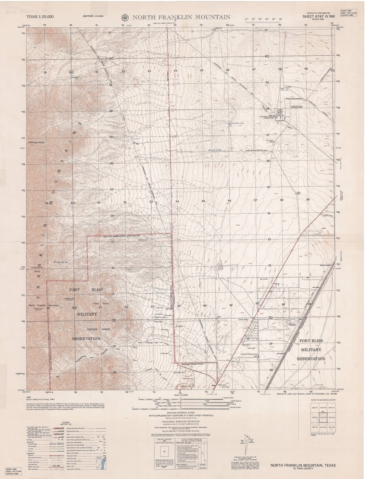
North Franklin Mountain-Sheet 4747 IV NW
A topographical map of the North Franklin Mountain delineates Fort Bliss Military Reservation, underground gas pipeline roads, chief interstate roadways, and railroad lines. A Road data legend is included.
Report this entry
More from the same community-collection
Franklin Mountains State Park Tom Mays Unit
The Tom Mays Unit on the Westside of the Franklin Mountains is ...
Franklin Mountains State Park Tom Mays Unit
The Tom Mays Unit on the Westside of the Franklin Mountains is ...
Franklin Mountains State Park Tom Mays Unit
The Tom Mays Unit on the Westside of the Franklin Mountains is ...
Franklin Mountains State Park Tom Mays Unit
The Tom Mays Unit on the Westside of the Franklin Mountains is ...
Franklin Mountains State Park Tom Mays Unit
The Tom Mays Unit on the Westside of the Franklin Mountains is ...
Franklin Mountains State Park Tom Mays Unit
The Tom Mays Unit on the Westside of the Franklin Mountains is ...
EPMH Staff with Copenhagen Delegation at Archaeology Museum
Director of the El Paso Museum of History Julia Bussinger with ...
EPMH Staff with Copenhagen Delegation at Archaeology Museum
Delegation from Copenhagen, Denmark being briefed about the ...
EPMH Staff with Copenhagen Delegation at Archaeology Museum
Delegation from Copenhagen, Denmark with the Curator of the ...
EPMH Staff with Copenhagen Delegation at Archaeology Museum
Delegation from Copenhagen, Denmark with the Curator of the ...
EPMH Staff with Copenhagen Delegation at Archaeology Museum
Director of the El Paso Museum of History Julia Bussinger with ...
EPMH Staff with Copenhagen Delegation at Archaeology Museum
Exhibit model display of Native Americans in the Museum of ...
