1970 Map of El Paso, Texas
Mapa de El Paso en 1970 El Paso, Texas
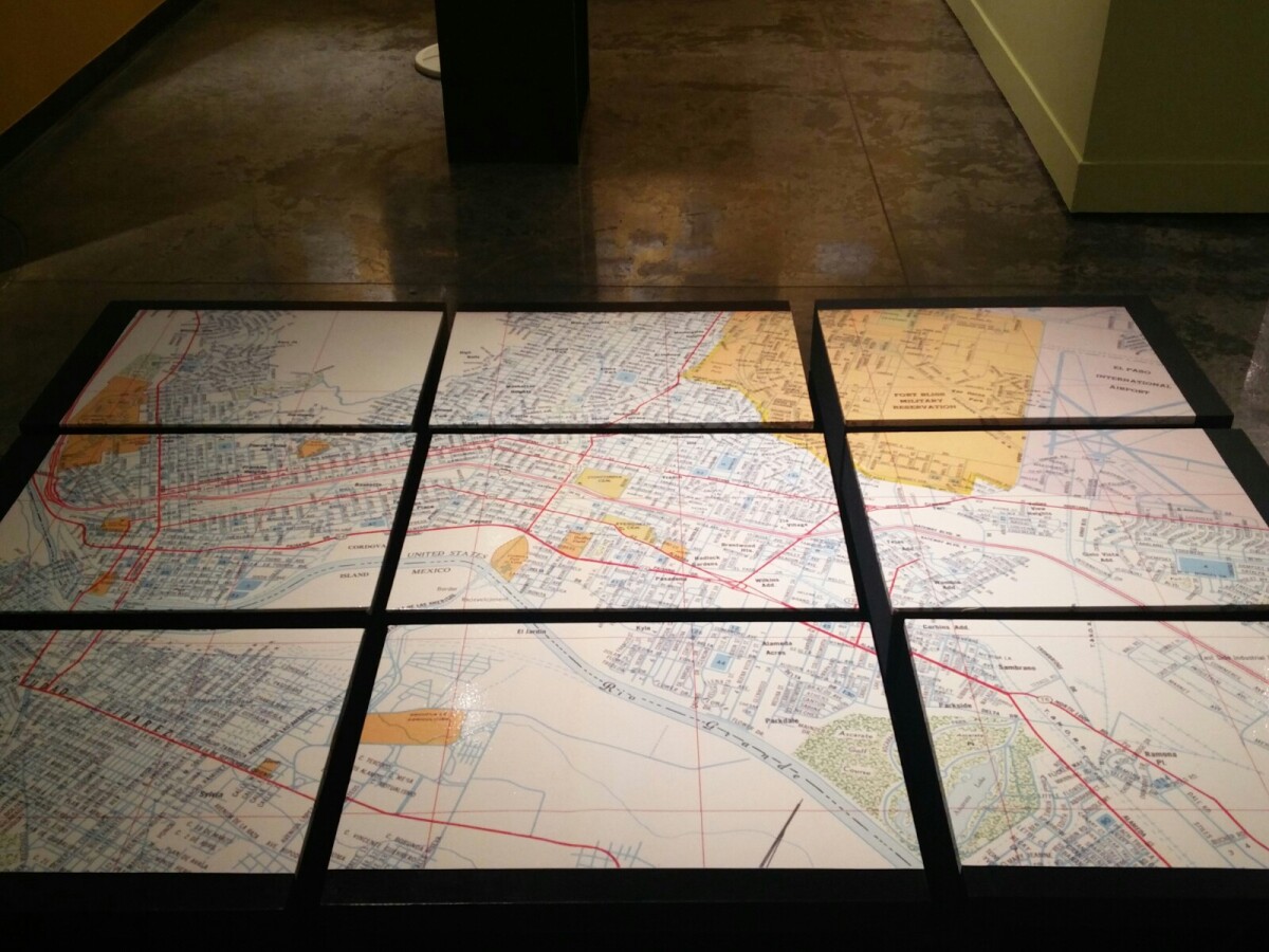
1970 Map of El Paso, Texas

Together these blocks make up a 1970 map of the City of El Paso. The map shows railroad lines and streets. By the 1970's passenger rail service was about to swith to Amtrak.
Area: Central / Downtown

Source: EPMH

Uploaded by: El Paso Museum of History

Comments

Add a comment
Thank you for your comment

Report this entry

Choose the most important reason for this report

Your name

Your email address

Optional detail

Thank you for your report

More from the same community-collection

Alternative Band Poster 2000s

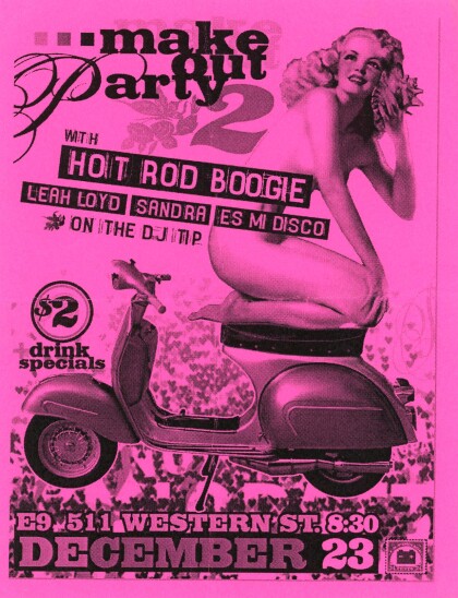
Alternative music show at E9 on 511 Western Street.

Alternative Band Poster 2000s

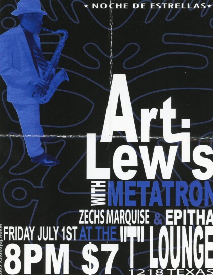
Alternative music poster for show at the T-Lounge on 1218 Texas ...

Alternative Band Poster 2000s

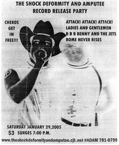
Record release poster for alternative music in the 2000s.

The Dream Monster

Artist MJAYM working on his cartoon character The Dream Monster ...

home.search_collection