Smelter Town
Smelter Town
Smelter Town

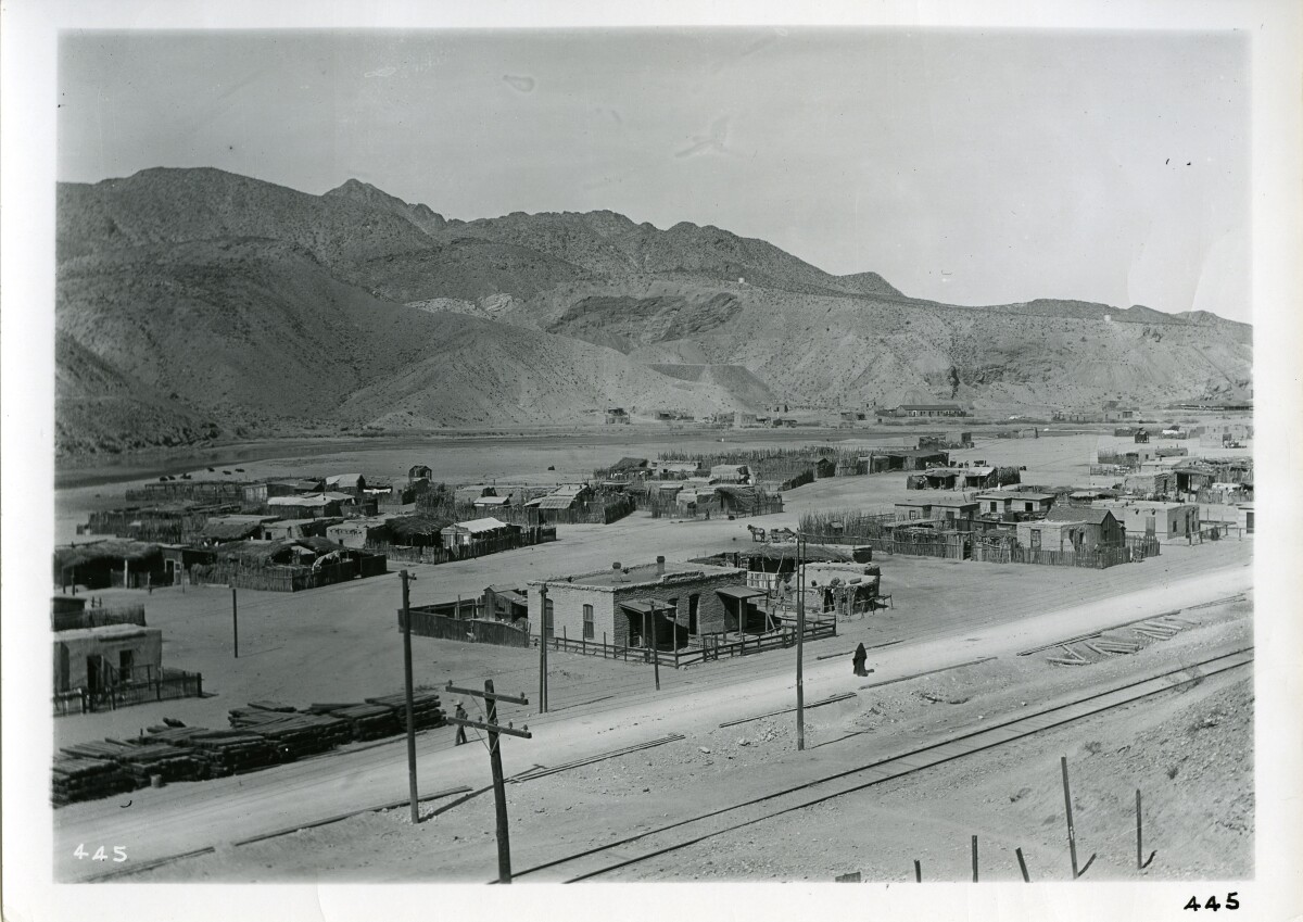
SMELTERTOWN, TEXAS. Smeltertown is an industrial area on Interstate Highway 10, U. S. Highway 80, the Southern Pacific and the Atchison, Topeka and Santa Fe railroads, and the east bank of the Rio Grande, just west of downtown El Paso in western El Paso County. The community came into being with the construction in 1887 of the Kansas City Consolidated Smelting and Refining Company (later the American Smelting and Refining Company, or ASARCOqv) copper and lead smelter, after which it was named. In the 1880s the Mexican employees of the smelter began building houses west of the smelter, beside the Rio Grande. San Rosalía Church, named after the Chihuahua town from which most of the first parishioners came, was built in 1891, and E. B. Jones School was established later. The church was later renamed San José del Río Grande, but burned in 1946 and was replaced by the San José de Cristo Rey Church. In 1938 the population of Smeltertown was estimated at 2,500; a post office was established the following year and closed four years later. In June 1945 the El Paso Herald-Post called attention to the poverty in Smeltertown, which included a cluster of small adobe dwellings with dirt floors and windows without glass. http://www.tshaonline.org/handbook/online/articles/hvsds

Area: Central / Smeltertown

Source: El Paso Public Library

Uploaded by: El Paso Museum of History

Comments

Add a comment
Thank you for your comment

Report this entry

Choose the most important reason for this report

Your name

Your email address

Optional detail

Thank you for your report

More from the same community-collection

American Dam, 117

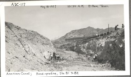
Hand-grading the American Canal

American Dam

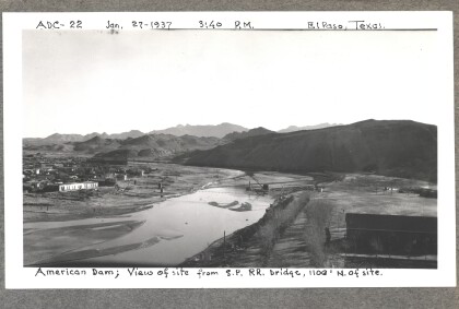
American Dam - View of site from bridge. Photo taken on January ...

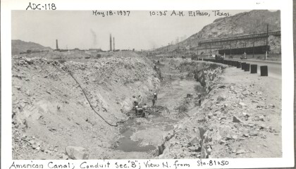
American Dam, 118

Conduit section "B" from north of Station 81 and 50 of the ...

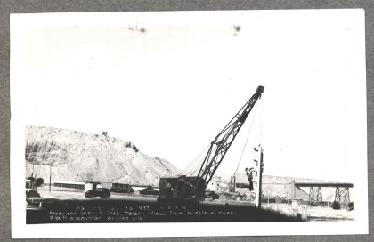
American Dam - P&H excavator driving pile

American Dam - View from middle of river, P&H excavator driving ...

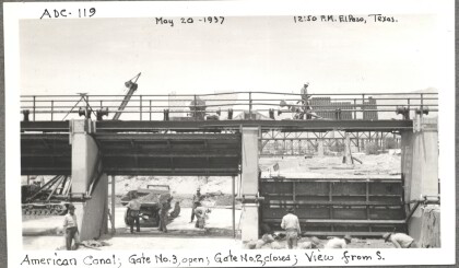
American Dam, 119

Looking from the south, gate number three is open, gate number ...

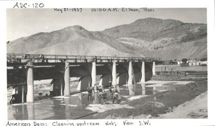
American Dam, 120

Cleaning the upstream slab of the American Canal (view from the ...

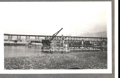
American Dam - Driving piles in coffer-dam

American Dam - View northwest from sandbar on eastside of river, ...

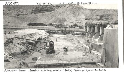
American Dam, 121

The bonded riprap used to reinforce panels one through eight of ...

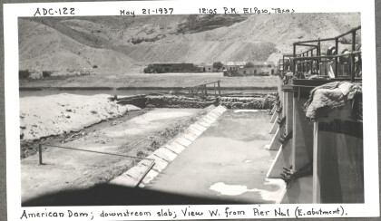
American Dam, 122

The downstream slab of the American Dam as seen from the east ...

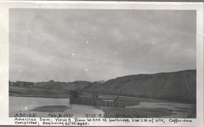
American Dam - Beginning earth dyke

American Dam - View south from west end of foot-bridge. ...

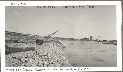
American Dam, 123

Casting rock for the river levee (at stations 69 and 50) of the ...

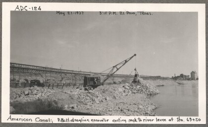
American Dam 124

The P & H dragline excavator casting rock to the river levee at ...

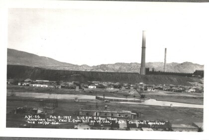
American Dam - P&H clam-shell excavator

American Dam - View east from hill on west side; P&H clam-shell ...

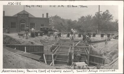
American Dam 125

Pouring the eastern half of the highway culvert of the American ...

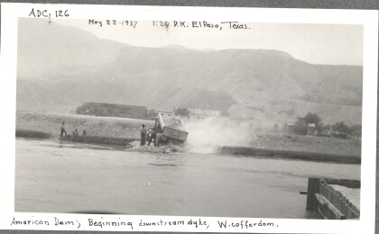
American Dam, 126

The beginning of the downstream dyke of the western cofferdam. A ...

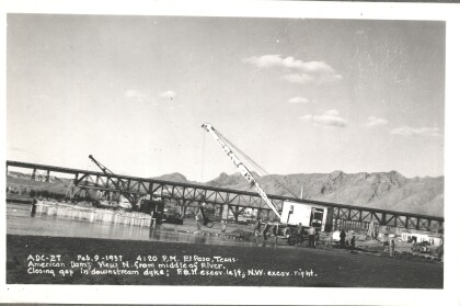
American Dam - Closing gap in downstream dyke

American Dam - View north from middle of river. Closing gap in ...
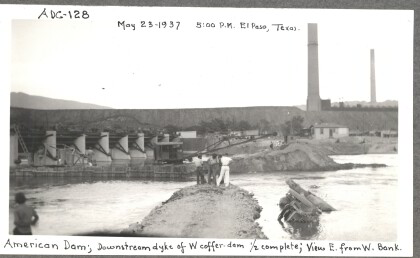
American Dam, 128

The downstream dyke of the western cofferdam (as seen from the ...

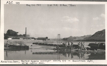
American Dam, 129

A Barber-Greene conveyor closes the gap in the downstream dyke ...

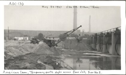
American Dam, 130

The temporary earth dyke across the floor slab near pier two of ...

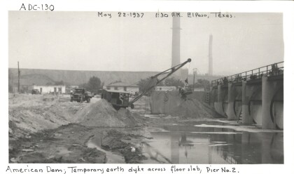
American Dam, 130 (a)

The temporary earth dyke across the floor slab near pier two of ...

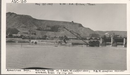
American Dam, 130 (b)

Raising the grade of the southern dyke of the western cofferdam ...

American Dam, 131

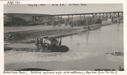
The view from the northwest (from pier nine) of men building the ...

American Dam, 132

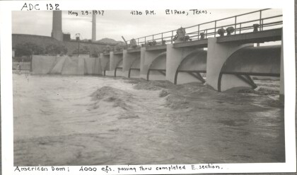
Over 4000 cubic square feet of water passing through the eastern ...

home.search_collection