Company E - Roster - 1941
Lista de la Compañía E - 1941
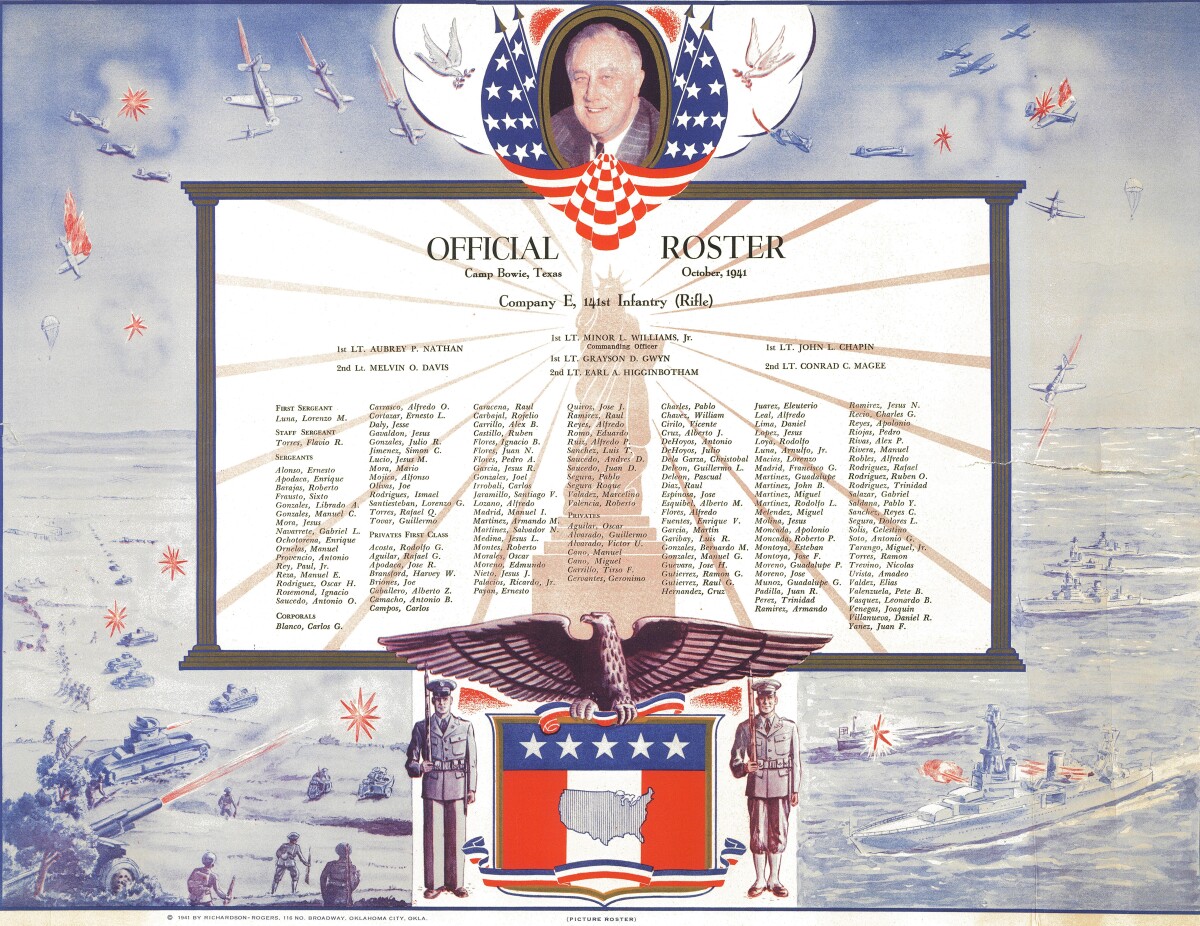
Company E - Roster - 1941
Roster for Company E--Camp Bowie, Texas - October, 1941 October 1941 at Camp Bowie in Brownwood,Texas. With clouds darkening over Europe, the President of the United States used his authority to activate the Texas National Guard into Federal military service. On the date of their activation, November 20, 1940, these proud Tejanos became part of the U.S. 36th Infantry Division, only fourteen months before Japan's sneak attack on Pearl Harbour on December 7, 1941. These heroic soldiers from pastoral West Texas would be tattling courageously in Italy and Germany. They were the first American soldiers to land in Europe in the allied effort to defeat Fascism and Nazism. The 36th Texas Division initiated the Italian Campaign when they landed at the Bay of Salerno on September 9, 1943. As one of the combat outfits of the Texas Division, Company E fought some of the toughest battles of World War II in mountainous terrain at Salerno, San Pietro, Monte Cassino, Velletri, and Anzio. They swept across Southern France and ended World War II when they crossed the Rhine River to fight the German Army on its home ground. Along the way they liberated Naples and Rome and captured Field Marshall Herman Goering, the number two Nazi in the German hierarchy. https://www.amazon.com/Company-Toughest-Chicano-Soldiers-World/dp/1515139174
Report this entry
More from the same community-collection
New Mexico, Texas; Chihuahua, Mexico 1861-1865
Map of the borders between New Mexico, Texas and Chihuahua, ...
Map No. 1 from Fort Smith to the Rio Grande
Map of the route near the 35th parallel. Part of the ...
Texas, New Mexico, and Indian Territory
Map of Texas counties and New Mexico showing Indian Territories ...
Texas: Containing the Latest Grants and Discoveries
Map of Texas containing the latest grants and discoveries in ...
Structural Map of Trans-Pecos Texas
Map of the Trans-Pecos, Texas area; Outlines and lines are shown ...
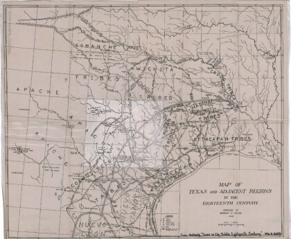
Map of Texas and Adjacent Regions in the Eighteenth Century
Map of Texas and the adjacent regions illustrating missions, ...
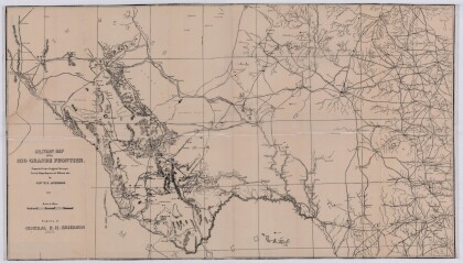
Military Map of the Rio Grande Frontier
Military map of the Rio Grande frontier prepared from original ...
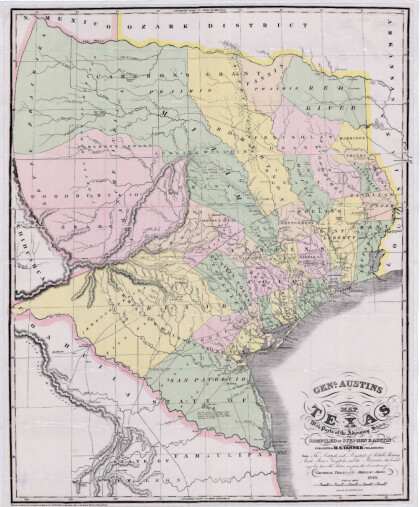
General Austin's Map of Texas with Parts of the Adjoining States
Colorful map of Texas highlighting the borders between states ...
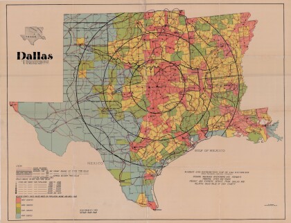
Dallas: Industrial and Distribution Center of the Southwest
Colorful market and distribution map of the Southwest - Texas, ...
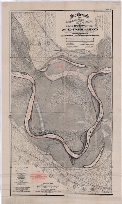
Rio Grande from San Juan River to the Gulf of Mexico
Map illustrates the Rio Grande from the San Juan River to the ...
Map of Fort Hancock, Texas circa 1915
Topographical map indicating the location of Fort Hancock and ...
Topography: the University of Texas Mineral Survey
Topographic map of the Van Horn quadrangle in Texas. Indicates ...
J. De Cordova's State of Texas
This geographical map of Texas was compiled from the records of ...
