Charles Sullivan in 1960
Charles Sullivan en 1960
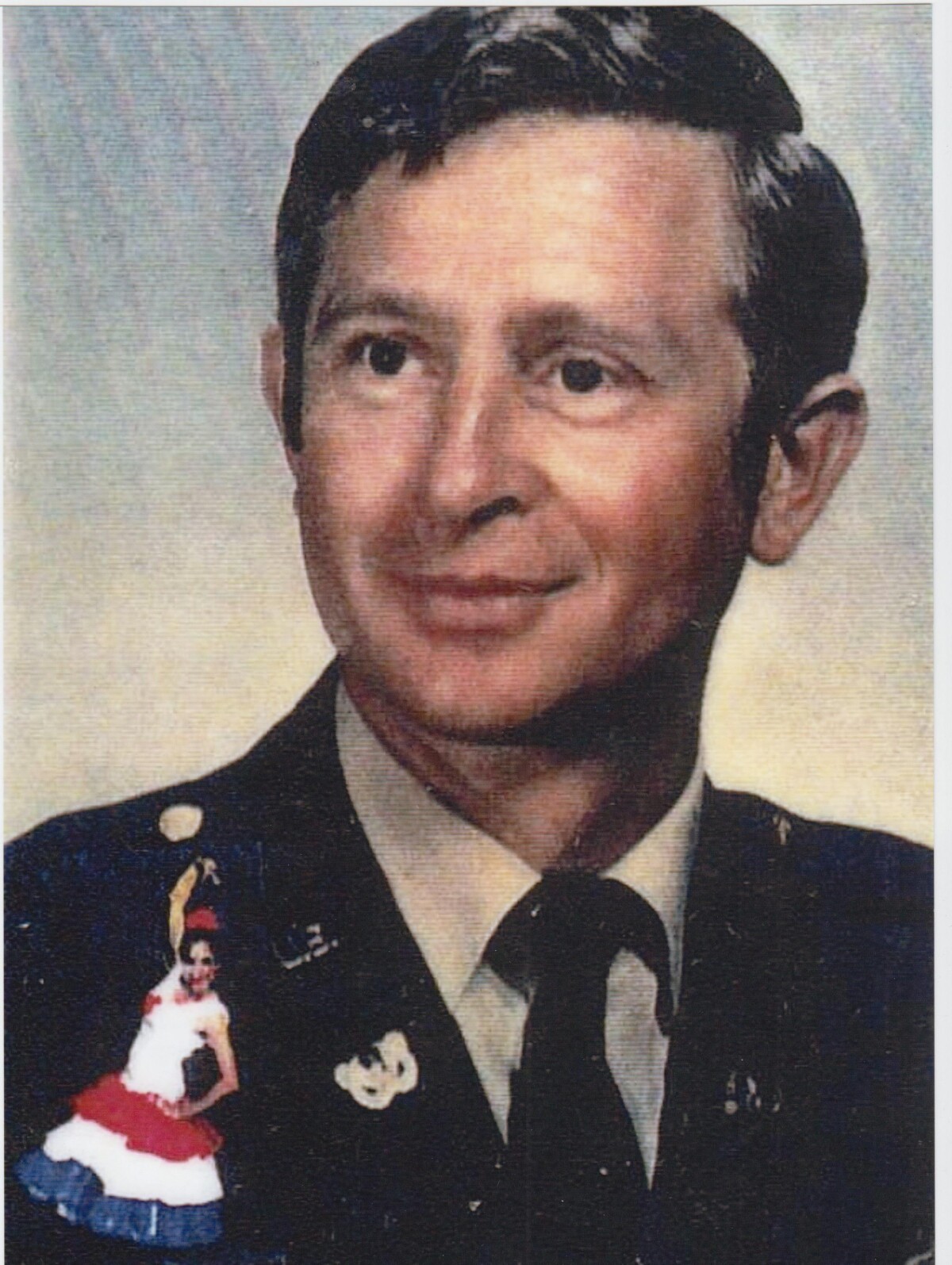
Charles Sullivan in 1960
"Charles Sullivan's military picture in the 1960's during the Kennedy Administration. Charles L Sullivan who was a Vietnam Hero. CW3 U.S. Army Airborne with a Bronze Star Medal and Army Commendation Medal. Charles L. Sullivan did three tours in Vietnam. Charles was born in Purvis Lamar, Mississippi. Charles graduated from high school and soon after enlisted in 1965 in Ft. Rucker, Alabama at the age of 20 years old. After serving basic training, he attended aviation school and became a pilot. He served in Germany for a time and then was deployed to Vietnam. In Vietnam he was a pilot; he flew Hughes and fixed wing aircraft. He would pick up wounded soldiers and medevac these soldiers out of Vietnam. Charles would fly them to safe areas to get treatment or to hospitals. He loved flying and more so loved his job in Vietnam. Charles was a true warrior, very patriotic and a very charismatic man. He was most kind and charitable. He also had a wonderful sense of humor. His laughter and his jokes were impressionable. He was also very witty when it came to discussing politics. He arrived at Fort Bliss around 1980, and was a helicopter instructor at Fort Bliss. Charles met his soon to be wife, Consuelo, nine years later in El Paso, Texas. Charles and Consuelo married in the Fort Bliss Chapel. After retiring from the Army, Charles resided in El Paso, Texas with his wife, Consuelo, before succumbing to the effects of Agent Orange in 2013. Charles is survived by his wife Consuelo Sullivan, Chaplain of the Military Officers Association of American who still resides in El Paso, Texas. He is also survived by his stepdaughter, Priscilla Wiekel, residing in Germany, his step-son Casey Neil Vanderpool, from Fayetteville, Arkansas, his stepdaughter, Cynthia Vanderpool Garcia from Silver Spring, Maryland, and his son David Sullivan who lives in Texas. Veteran Charles Sullivan's story as told by his wife, Consuelo Garcia Sullivan to Sally Fierro, faculty University of Phoenix."
Report this entry
More from the same community-collection
New Mexico, Texas; Chihuahua, Mexico 1861-1865
Map of the borders between New Mexico, Texas and Chihuahua, ...
Map No. 1 from Fort Smith to the Rio Grande
Map of the route near the 35th parallel. Part of the ...
Texas, New Mexico, and Indian Territory
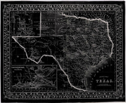
Map of Texas counties and New Mexico showing Indian Territories ...
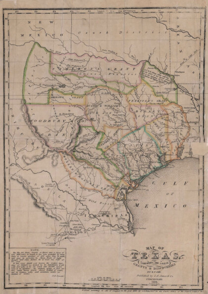
Texas: Containing the Latest Grants and Discoveries
Map of Texas containing the latest grants and discoveries in ...
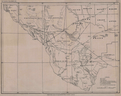
Structural Map of Trans-Pecos Texas
Map of the Trans-Pecos, Texas area; Outlines and lines are shown ...
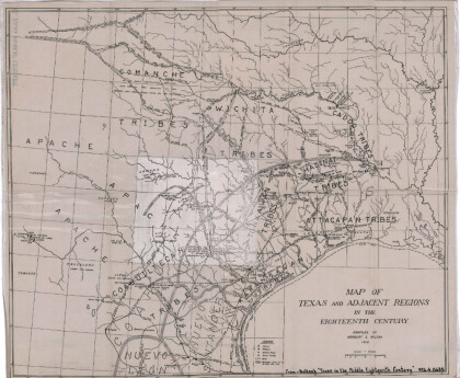
Map of Texas and Adjacent Regions in the Eighteenth Century
Map of Texas and the adjacent regions illustrating missions, ...
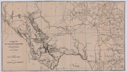
Military Map of the Rio Grande Frontier
Military map of the Rio Grande frontier prepared from original ...
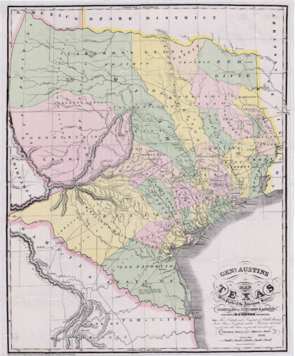
General Austin's Map of Texas with Parts of the Adjoining States
Colorful map of Texas highlighting the borders between states ...
Dallas: Industrial and Distribution Center of the Southwest
Colorful market and distribution map of the Southwest - Texas, ...
Rio Grande from San Juan River to the Gulf of Mexico
Map illustrates the Rio Grande from the San Juan River to the ...
Map of Fort Hancock, Texas circa 1915
Topographical map indicating the location of Fort Hancock and ...
Topography: the University of Texas Mineral Survey
Topographic map of the Van Horn quadrangle in Texas. Indicates ...
J. De Cordova's State of Texas
This geographical map of Texas was compiled from the records of ...
