Mt. Cristo Rey. Sunland Park, NM 4
Mt. Cristo Rey. Sunland Park, NM
Mt. Cristo Rey. Sunland Park, NM 4

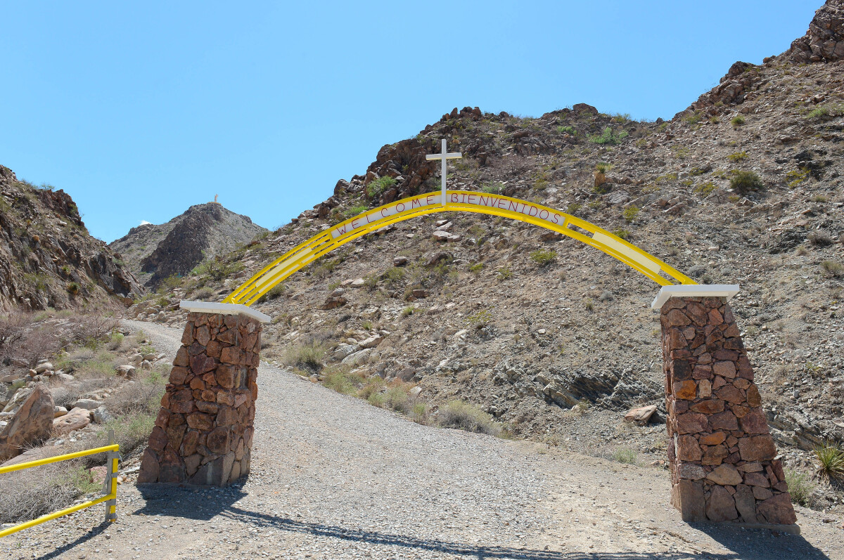
Mt. Cristo Rey. Sunland Park, NM, History Standing atop the Sierra de Cristo Rey (Formerly known as the Cerro de los Muleros, Mule Drivers Mountain), in Sunland Park, New Mexico, the 29 ft. tall limestone statue of Christ serves as a shrine to thousands of faithful in the El Paso and Southern New Mexico area. Dedicated in 1940, this monument to Christ was the vision of Fr. Lourdes Costa, a local parish priest, who in 1933 after looking out the back window of his residence in the community of Smeltertown, envisioned erecting a monument at the summit of this glorious mountain. With no knowledge of who owned the mountain or whether it was located in Texas, New Mexico or Mexico, Fr. Costa and sixteen others made the arduous trek on October 28, 1933. In church the following day, Costa preached to the congregation sharing his vision of a cross on the mountaintop. Together, they pledged to erect a temporary wooden cross and to later replace it with a monumental one. Additionally, they promised to volunteer their time and efforts to make the mountain suitable for ascension. On October 31, Father Costa presented his idea to Bishop A.J. Schuler of El Paso, who approved.

Creator: sergio Ramirez

Area: Central / Smeltertown

Source: EPMH

Uploaded by: El Paso Museum of History

Comments

Add a comment
Thank you for your comment

Report this entry

Choose the most important reason for this report

Your name

Your email address

Optional detail

Thank you for your report

More from the same community-collection

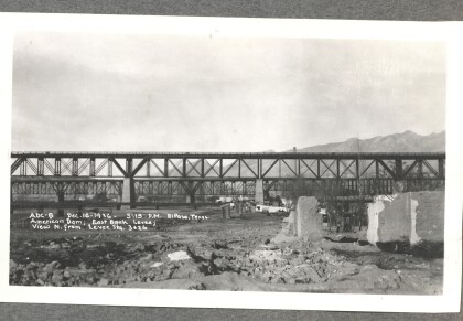
American Dam - East Bank Levee

American Dam - East Bank Levee; view north from Levee. Photo ...

American Canal

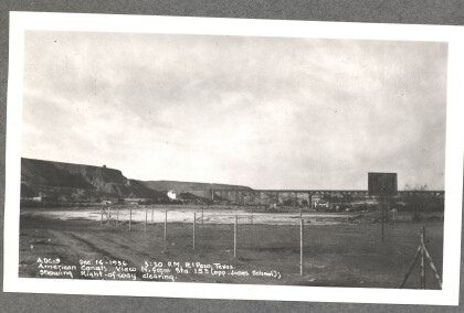
American Canal - View north (opposite Jones School); showing ...

American Canal

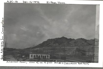
American Canal - View of location north (Wuerthman Rock House). ...

American Canal

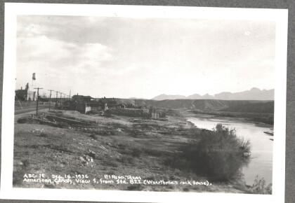
American Canal - View south (Wuerthman Rock House). Photo taken ...

American Canal

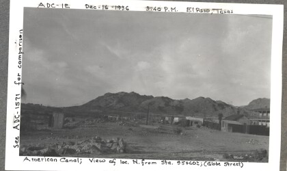
American Canal - View of location north (Globe Street). Photo ...

American Canal

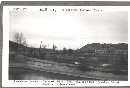
American Canal - View of location north. Franklin Canal Heading ...

American Canal

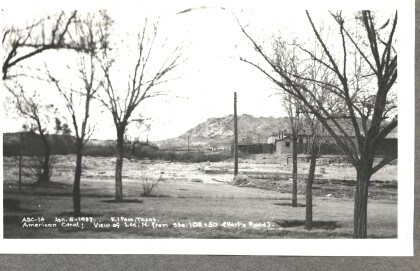
American Canal - View of location north (Hart's Road). Photo ...

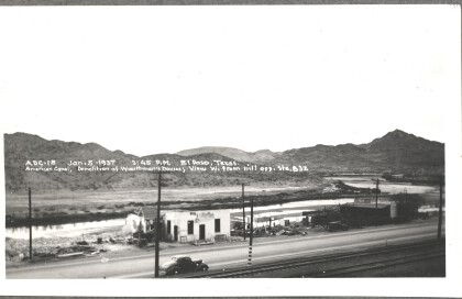
American Canal - Demolition of Wuerthman's houses

American Canal - Demolition of Wuerthman's houses; view west ...

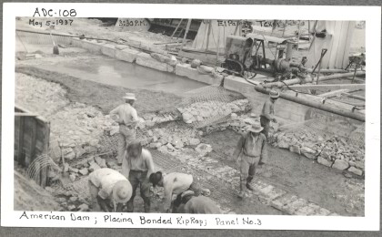
American Dam, 108

Workers on the American Dam project place bonded riprap. Riprap ...

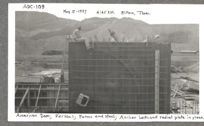
American Dam, 109

American Dam workers use forms and steel, anchor bolts and ...

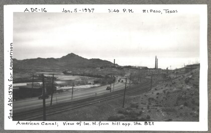
American Canal

American Canal - View of location north from hill. Photo taken ...

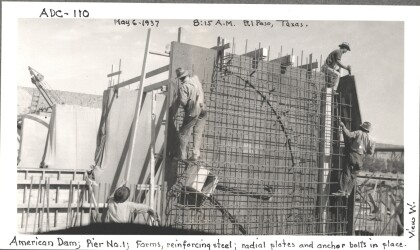
American Dam, 110

American Dam workers use reinforcing steel, anchor bolts and ...

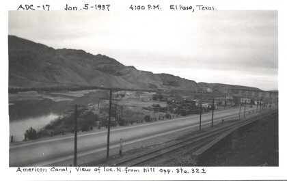
American Canal

American Canal - View of location north from hill. Photo taken ...

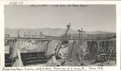
American Dam, 111

Piers two, three, four, and five of the American Dam begin to ...

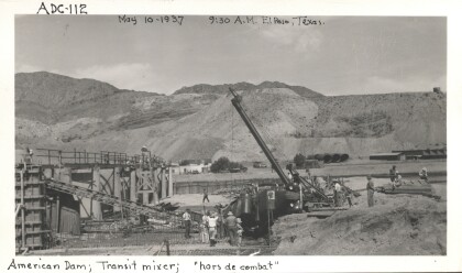
American Dam, 112

The transit mixer provides concrete for the American Dam.

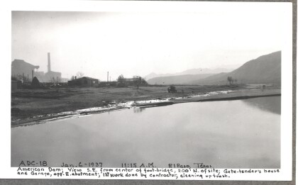
American Dam - first work done by contractor, cleaning up trash

American Dam - View southeast from center of foot-bridge; Gate ...

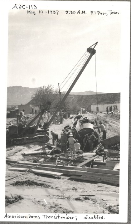
American Dam, 113

The transit mixer takes a tumble during the construction of the ...

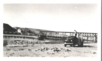
American Dam - Crane crossing river

American Dam - View northwest. Crane crossing river. Photo taken ...

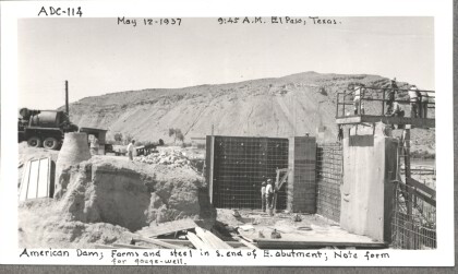
American Dam, 114

Forms and steel form the south end of the east abutment. Note ...

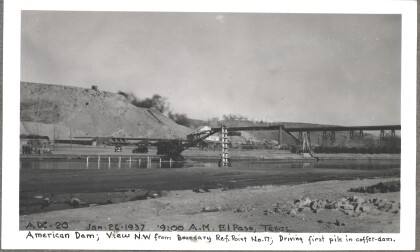
American Dam - Driving first pile in coffer-dam

American Dam - View northwest. Driving first pile in coffer-dam. ...
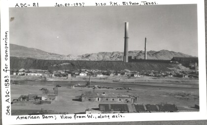
American Dam

American Dam - View from west, along axis. Photo taken on ...

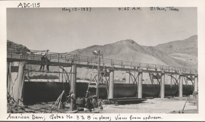
American Dam, 115

American Dam view from upstream with gates three through eight ...

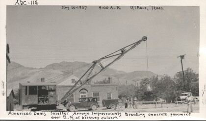
American Dam, 116

Breaking the concrete pavement over the east half of the highway ...

home.search_collection