“Malagueño Varieté” by Rafael González
“Malagueño Varieté” de Rafael González

“Malagueño Varieté” by Rafael González
The Consulate General of Mexico in El Paso and Centro Cultural Mexicano Paso del Norte invited the binational community of the Paso del Norte region to the aerial dance show Malagueño Varieté”, by Mexican dancer Rafael González. “Malagueño Varieté” Based on the Mexican tradition of the "Day of the Dead", "Malagueño Varieté" tells the story of a widow who, after looking at the portrait of her deceased husband at the “altar de muertos”, takes us on a journey through her memories that include paintings, music, costumes, games, artists and the golden age of Mexican cinema. All these elements come together to create a magical tale were La Catrina is ever-present, always ready to cheerfully take the souls of our deceased love ones, whom we honor on this special day. The contrasting atmosphere created by this piece takes us through all the emotions that are part of the unique Mexican idiosyncrasy: joy, melancholy, love, regret, happiness, death, framed by Mexican traditions, artists, music, costumes, games, paintings, and the golden age of Mexican films, conveyed by acrobats and dancers performing on aerial silks, hoops, trapezes, chains and floor dance techniques, framed by a repertoire of well-known contemporary vernacular music of Mexico, which includes music by Chavela Vargas, Lila Downs, and Ximena Sariñana, among others.
Report this entry
More from the same community-collection
New Mexico, Texas; Chihuahua, Mexico 1861-1865
Map of the borders between New Mexico, Texas and Chihuahua, ...
Map No. 1 from Fort Smith to the Rio Grande
Map of the route near the 35th parallel. Part of the ...
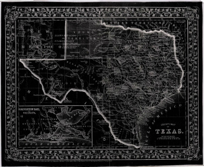
Texas, New Mexico, and Indian Territory
Map of Texas counties and New Mexico showing Indian Territories ...
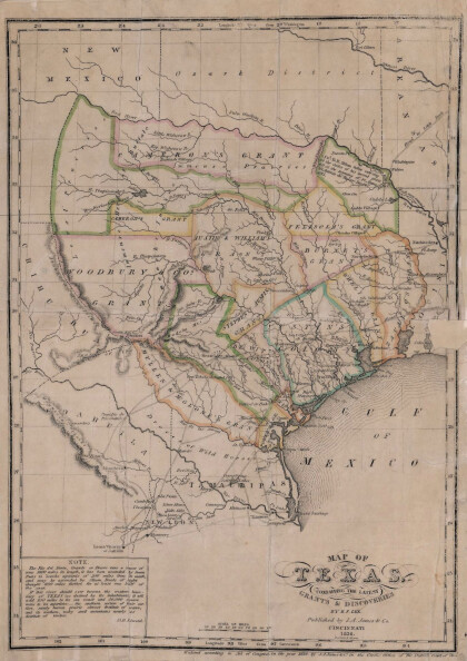
Texas: Containing the Latest Grants and Discoveries
Map of Texas containing the latest grants and discoveries in ...
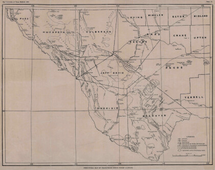
Structural Map of Trans-Pecos Texas
Map of the Trans-Pecos, Texas area; Outlines and lines are shown ...
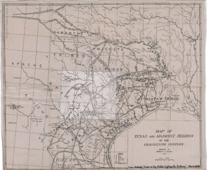
Map of Texas and Adjacent Regions in the Eighteenth Century
Map of Texas and the adjacent regions illustrating missions, ...
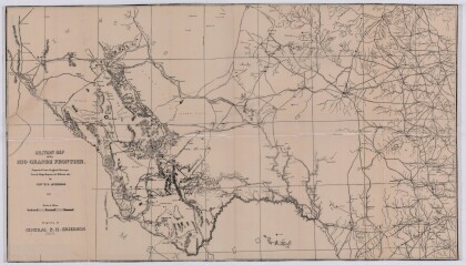
Military Map of the Rio Grande Frontier
Military map of the Rio Grande frontier prepared from original ...
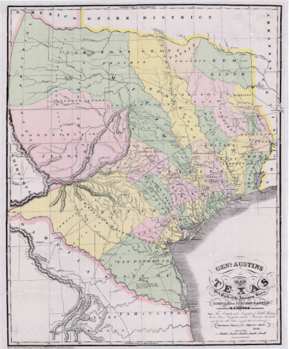
General Austin's Map of Texas with Parts of the Adjoining States
Colorful map of Texas highlighting the borders between states ...
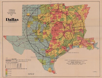
Dallas: Industrial and Distribution Center of the Southwest
Colorful market and distribution map of the Southwest - Texas, ...
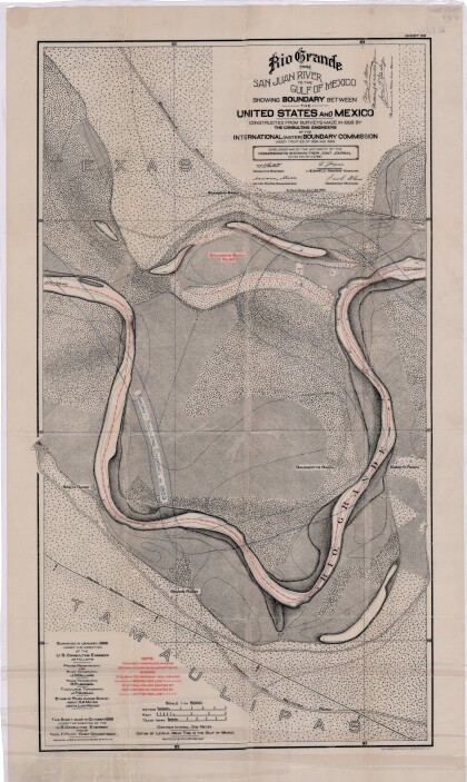
Rio Grande from San Juan River to the Gulf of Mexico
Map illustrates the Rio Grande from the San Juan River to the ...
Map of Fort Hancock, Texas circa 1915
Topographical map indicating the location of Fort Hancock and ...
Topography: the University of Texas Mineral Survey
Topographic map of the Van Horn quadrangle in Texas. Indicates ...
J. De Cordova's State of Texas
This geographical map of Texas was compiled from the records of ...
