Chile and New Mexico
Chile and New Mexico
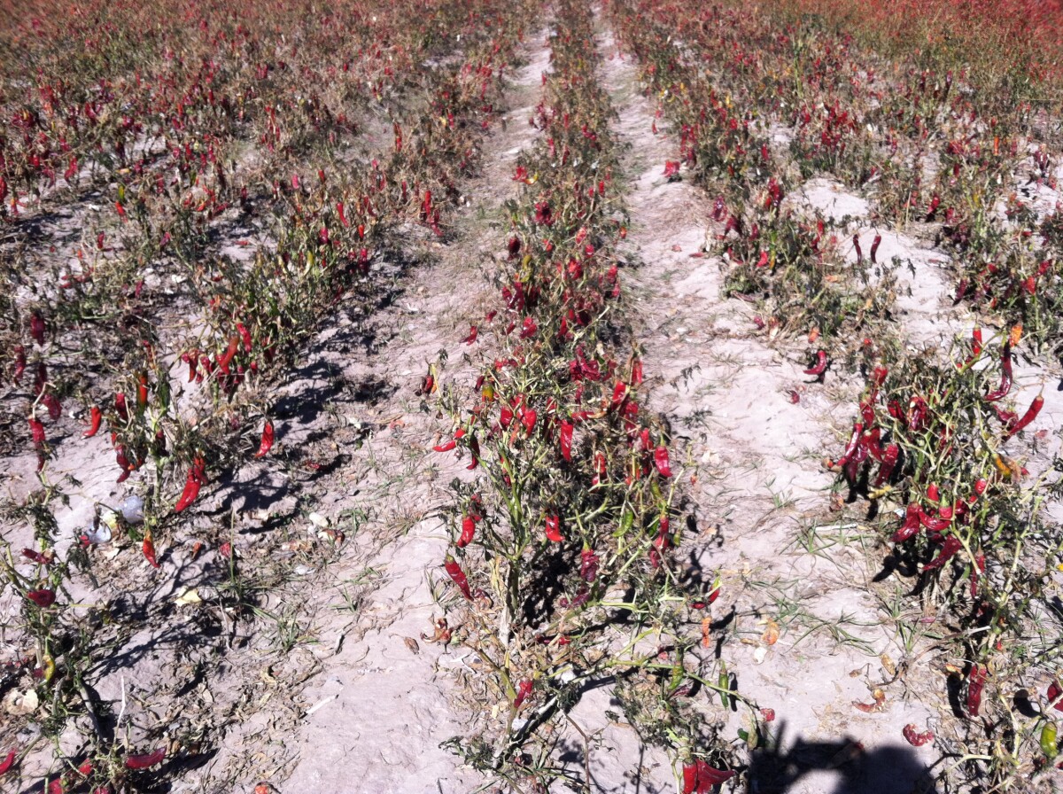
Agriculture in Anthony, New Mexico. Anthony, New Mexico was at one time called Halfway House because it is located half-way between Las Cruces, New Mexico and El Paso, Texas. Two stories of how the post office in 1884 became Anthony exist. One says a local lady built a chapel in her home and dedicated it to her patron saint, San Antonio. When a post office was requested under that name, another city in New Mexico had already claimed it, so the English form, Anthony, was chosen. The other story is that it was named by a Catholic priest who had established a church there. At one time it was a stop on the Butterfield Stage route. When the Santa Fe Railroad was built in 1881, they located the train depot on the Texas side of the state line and called it La Tuna. It is said that name was chosen due to the large number of prickly pear cactus that grew in the area. The Spanish name for prickly pear is La Tuna. The name was also given to the Federal Prison built at Anthony in the early nineteen thirties. The area between Las Cruces and Anthony contains some of the richest farm land in New Mexico. Early crops of cotton, alfalfa and grape vineyards have been joined by large pecan orchards and onion, lettuce, and chile fields. The many dairies make insulage, alfalfa, and grain crops popular. Population estimates of this area are about 15,000 people living in the little hamlets and the wide open spaces, and encroaching seriously on the farm land in the Mesilla Valley. http://southernnewmexico.com/Articles/Southwest/Dona_Ana/Anthony/AnthonySanMiguelLaMesaCha.html
Report this entry
More from the same community-collection
New Mexico, Texas; Chihuahua, Mexico 1861-1865
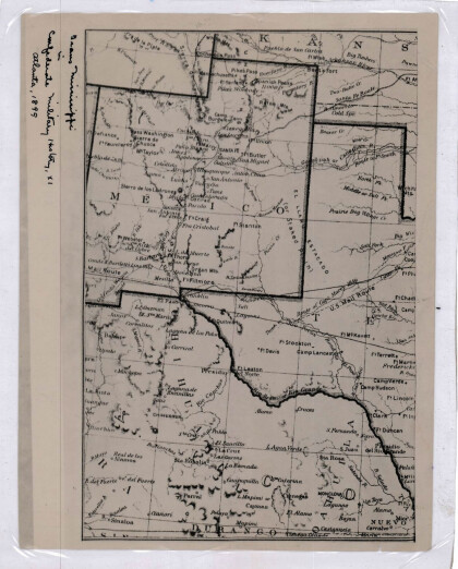
Map of the borders between New Mexico, Texas and Chihuahua, ...
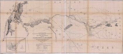
Map No. 1 from Fort Smith to the Rio Grande
Map of the route near the 35th parallel. Part of the ...
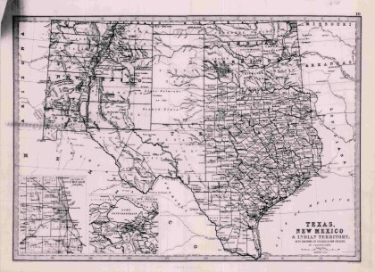
Texas, New Mexico, and Indian Territory
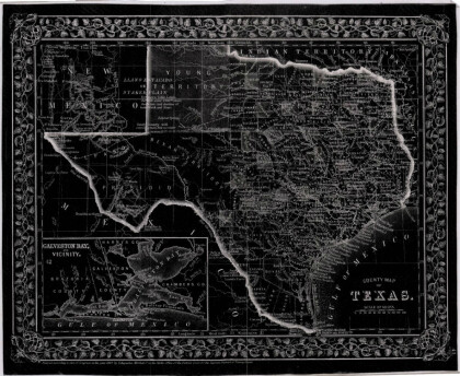
Map of Texas counties and New Mexico showing Indian Territories ...
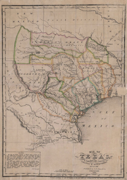
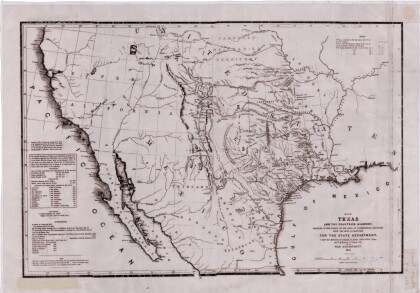
Texas: Containing the Latest Grants and Discoveries
Map of Texas containing the latest grants and discoveries in ...
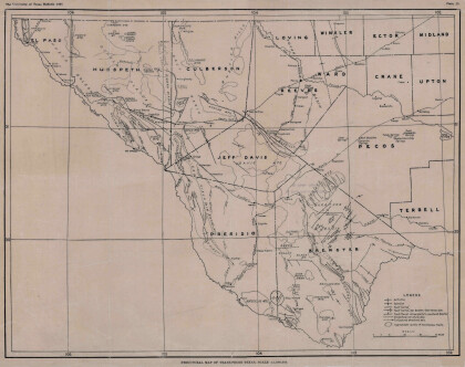
Structural Map of Trans-Pecos Texas
Map of the Trans-Pecos, Texas area; Outlines and lines are shown ...
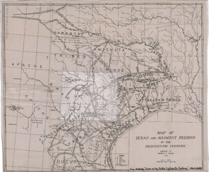
Map of Texas and Adjacent Regions in the Eighteenth Century
Map of Texas and the adjacent regions illustrating missions, ...
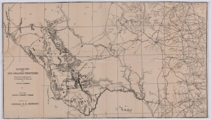
Military Map of the Rio Grande Frontier
Military map of the Rio Grande frontier prepared from original ...
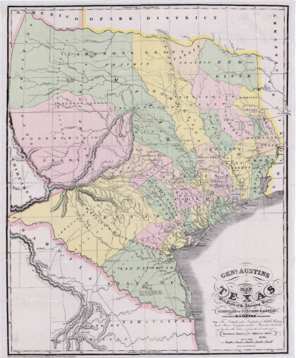
General Austin's Map of Texas with Parts of the Adjoining States
Colorful map of Texas highlighting the borders between states ...
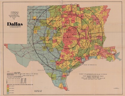
Dallas: Industrial and Distribution Center of the Southwest
Colorful market and distribution map of the Southwest - Texas, ...
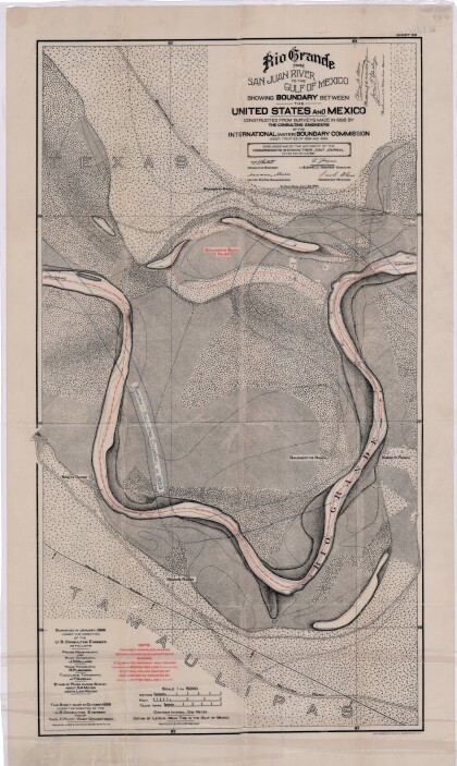
Rio Grande from San Juan River to the Gulf of Mexico
Map illustrates the Rio Grande from the San Juan River to the ...
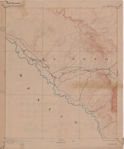
Map of Fort Hancock, Texas circa 1915
Topographical map indicating the location of Fort Hancock and ...
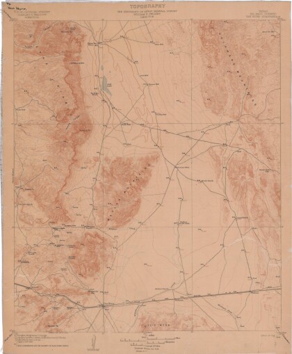
Topography: the University of Texas Mineral Survey
Topographic map of the Van Horn quadrangle in Texas. Indicates ...
J. De Cordova's State of Texas
This geographical map of Texas was compiled from the records of ...
