Chile and New Mexico
Chile and New Mexico
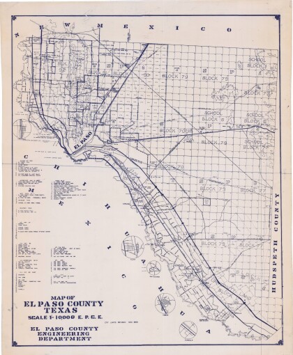
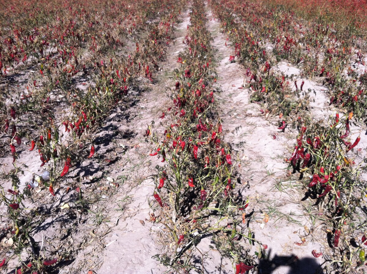
Agriculture in Anthony, New Mexico. Anthony, New Mexico was at one time called Halfway House because it is located half-way between Las Cruces, New Mexico and El Paso, Texas. Two stories of how the post office in 1884 became Anthony exist. One says a local lady built a chapel in her home and dedicated it to her patron saint, San Antonio. When a post office was requested under that name, another city in New Mexico had already claimed it, so the English form, Anthony, was chosen. The other story is that it was named by a Catholic priest who had established a church there. At one time it was a stop on the Butterfield Stage route. When the Santa Fe Railroad was built in 1881, they located the train depot on the Texas side of the state line and called it La Tuna. It is said that name was chosen due to the large number of prickly pear cactus that grew in the area. The Spanish name for prickly pear is La Tuna. The name was also given to the Federal Prison built at Anthony in the early nineteen thirties. The area between Las Cruces and Anthony contains some of the richest farm land in New Mexico. Early crops of cotton, alfalfa and grape vineyards have been joined by large pecan orchards and onion, lettuce, and chile fields. The many dairies make insulage, alfalfa, and grain crops popular. Population estimates of this area are about 15,000 people living in the little hamlets and the wide open spaces, and encroaching seriously on the farm land in the Mesilla Valley. http://southernnewmexico.com/Articles/Southwest/Dona_Ana/Anthony/AnthonySanMiguelLaMesaCha.html
Report this entry
More from the same community-collection
Geological Map of a Portion of West Texas
A geological map of a portion of West Texas based on U.S.G.S. ...
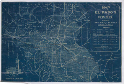
Map of El Paso's Domain circa 1905
Railroad facilities; mining areas of copper, gold, mercury, ...
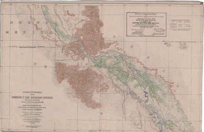
Dividing Line between Mexico and the United States
Map of the dividing line between Mexico and the United States ...
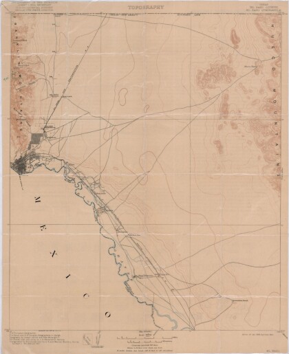
El Paso Quadrangle, Texas (El Paso County)
Topography of El Paso County, Texas and the El Paso Quadrangle. ...
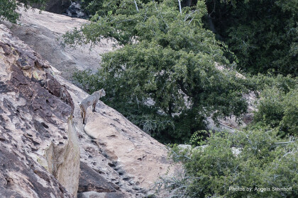
Bobcat "Horchata" at Hueco Tanks
As we wrap up our back country scouting around 5 pm, we spotted ...
El Paso (P-4) Sectional Aeronautical Chart
Published in April, 1941, this aeronautical map indicates the ...
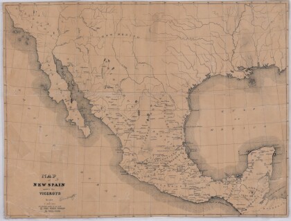
Map of New Spain under the Viceroys
This map illustrates 1600's New Spain. Areas from New Mexico, ...
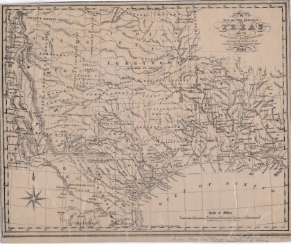
Map of the Republic of Texas and the Adjacent Territories
Map of the Republic of Texas and adjacent territories indicating ...
