Revolution
Revolución
Revolution
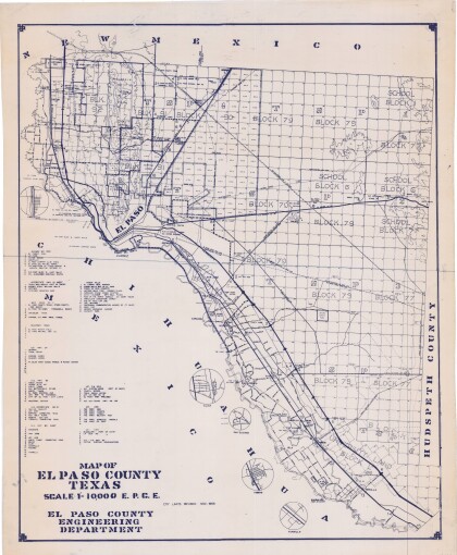
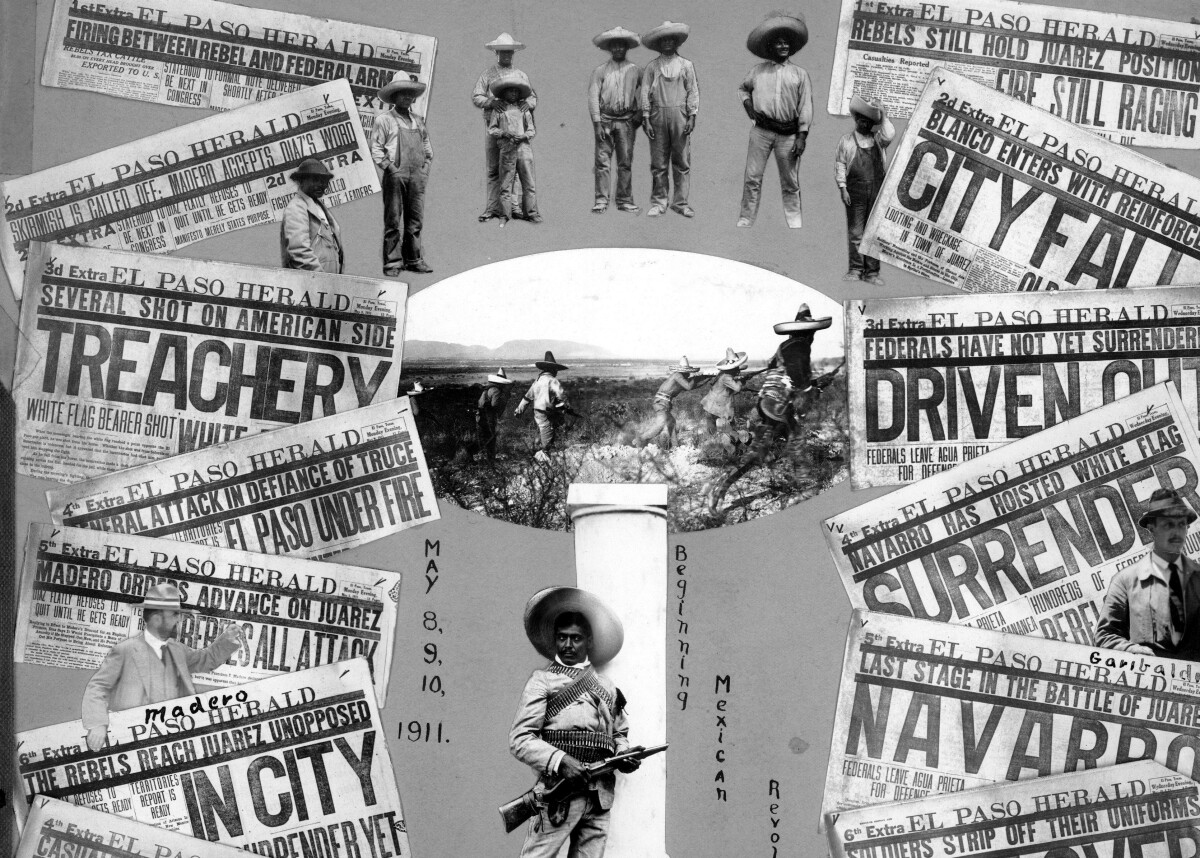
In late 1910 revolutionary movements broke out in response to Madero's letter. Pascual Orozco, along with governor Abraham González, formed a powerful military union in the north, and took Mexicali and Chihuahua City, although they were not especially committed to Madero. These victories encouraged alliances with other revolutionary leaders, including Pancho Villa. Against Madero's wishes, Orozco and Villa fought for and won Ciudad Juárez, bordering El Paso, Texas, along the Rio Grande. Madero's action also mobilized revolutionary organization and opened up the way for the Baja California Rebellion, against his intentions. After Madero defeated the Mexican federal army, on May 21, 1911 he signed the Treaty of Ciudad Juárez with Díaz. It stated that Díaz would abdicate his rule and be replaced by Madero. Insisting on a new election, Madero won overwhelmingly in late 1911. Some supporters criticized him for appearing weak by not assuming the presidency and failing to pass immediate reforms, but Madero established a liberal democracy and received support from the United States and popular leaders such as Orozco, Villa and Zapata. Madero was a weak leader and quickly lost much of his support while in power. He angered both the more radical revolutionists and the conservative counter-revolutionists, including the unpopular Congress elected during Díaz's rule. His refusal to enact land reforms caused a break with Zapata, who announced the Plan de Ayala, which called for the return of lands "usurped by the hacendados" (hacienda owners) and demanded armed conflict against the government. Zapata then sided with Orozco.
Report this entry
More from the same community-collection
Geological Map of a Portion of West Texas
A geological map of a portion of West Texas based on U.S.G.S. ...
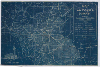
Map of El Paso's Domain circa 1905
Railroad facilities; mining areas of copper, gold, mercury, ...
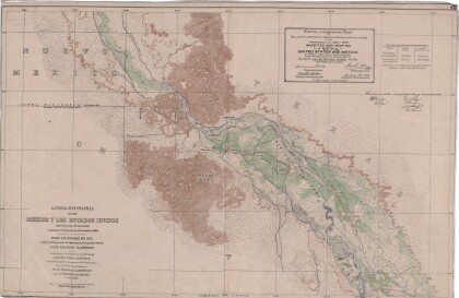
Dividing Line between Mexico and the United States
Map of the dividing line between Mexico and the United States ...
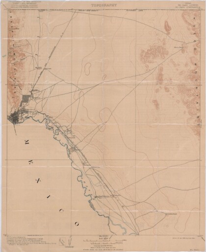
El Paso Quadrangle, Texas (El Paso County)
Topography of El Paso County, Texas and the El Paso Quadrangle. ...
Bobcat "Horchata" at Hueco Tanks
As we wrap up our back country scouting around 5 pm, we spotted ...
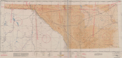
El Paso (P-4) Sectional Aeronautical Chart
Published in April, 1941, this aeronautical map indicates the ...
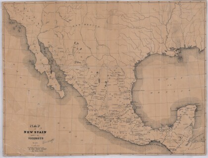
Map of New Spain under the Viceroys
This map illustrates 1600's New Spain. Areas from New Mexico, ...
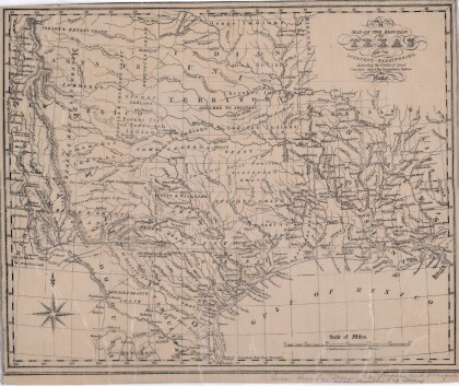
Map of the Republic of Texas and the Adjacent Territories
Map of the Republic of Texas and adjacent territories indicating ...
