Aerial View Of Fort Bliss
Vista aérea de Fort Bliss
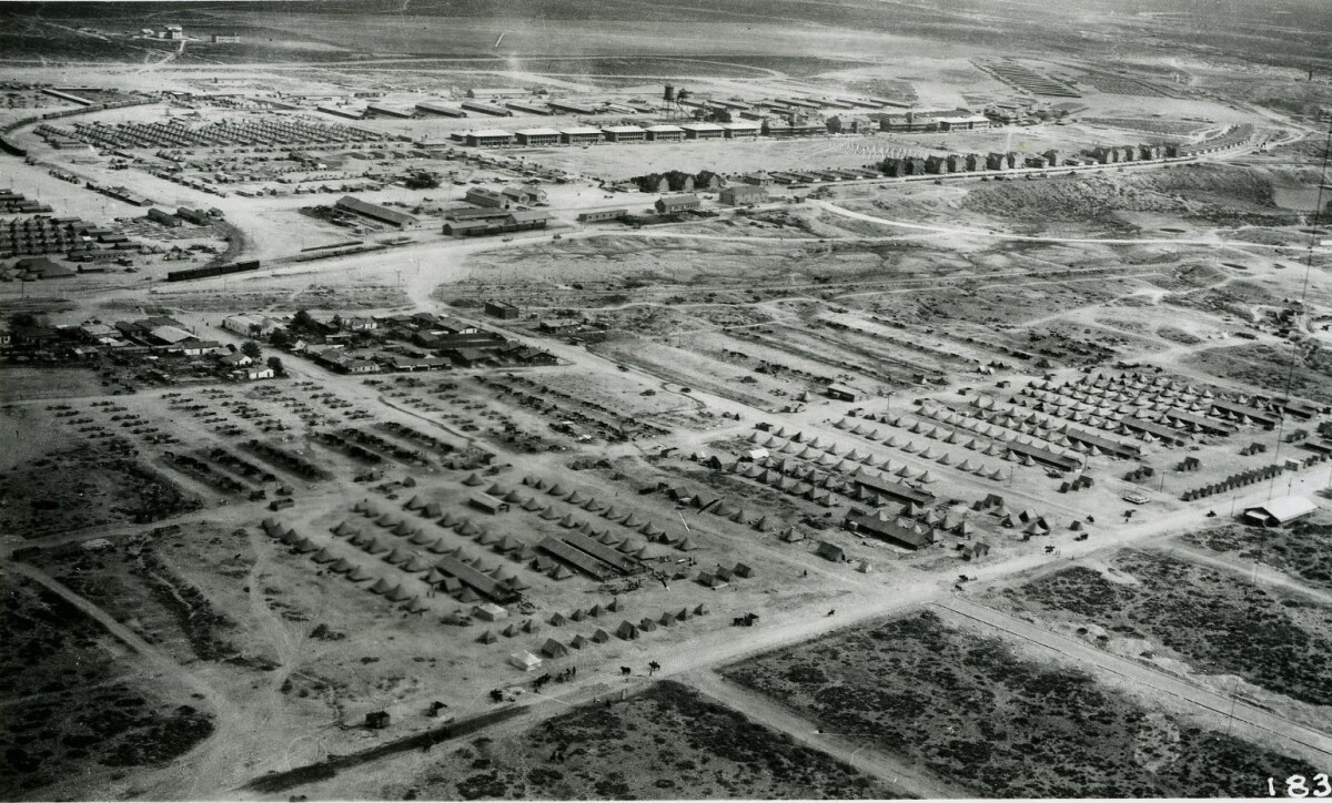
Aerial View Of Fort Bliss
Area view of Fort Bliss between 1910 and 1920.
Report this entry
More from the same community-collection
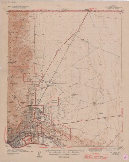
Texas (El Paso County) Fort Bliss Quadrangle
This map represents the Fort Bliss Quadrangle in El Paso County, ...
West Texas Young Marines lay wreaths at Ft. Bliss Cemetery
West Texas Young Marines honored Veterans by laying wreaths at ...
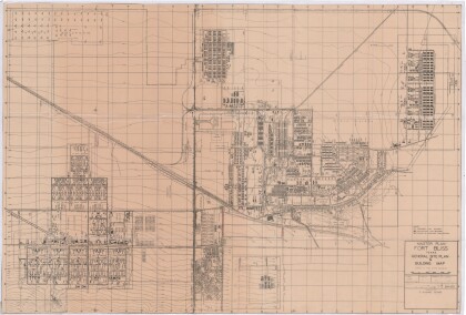
Master Plan Fort Bliss Texas: General Site Plan and Building Map
General site plan of Fort Bliss Texas indicating permanent, ...
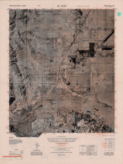
El Paso, Texas Ft. Bliss and Vicinity
Texas photo map of El Paso, Texas, Ft. Bliss and vicinity. Area ...
EPCC Enrolls 901 Students for First Year
Startup funding for the college was acquired when Senator Joe ...
My Grandparents, John Joseph Longo and Wilma Myra Scully Longo
This photo shows Wilma and John Joseph Longo Sr. are somewhere ...
Elvira V. Escajeda, burial El Paso, TX 2022
Family of Elvira V. Escajeda at Fort Bliss National Cemetery ...
Bilalian News Article, September 24, 1976
Bilalian News Article titled "First Mosque on military base ...
