Franklin Mountains State Park Tom Mays Unit
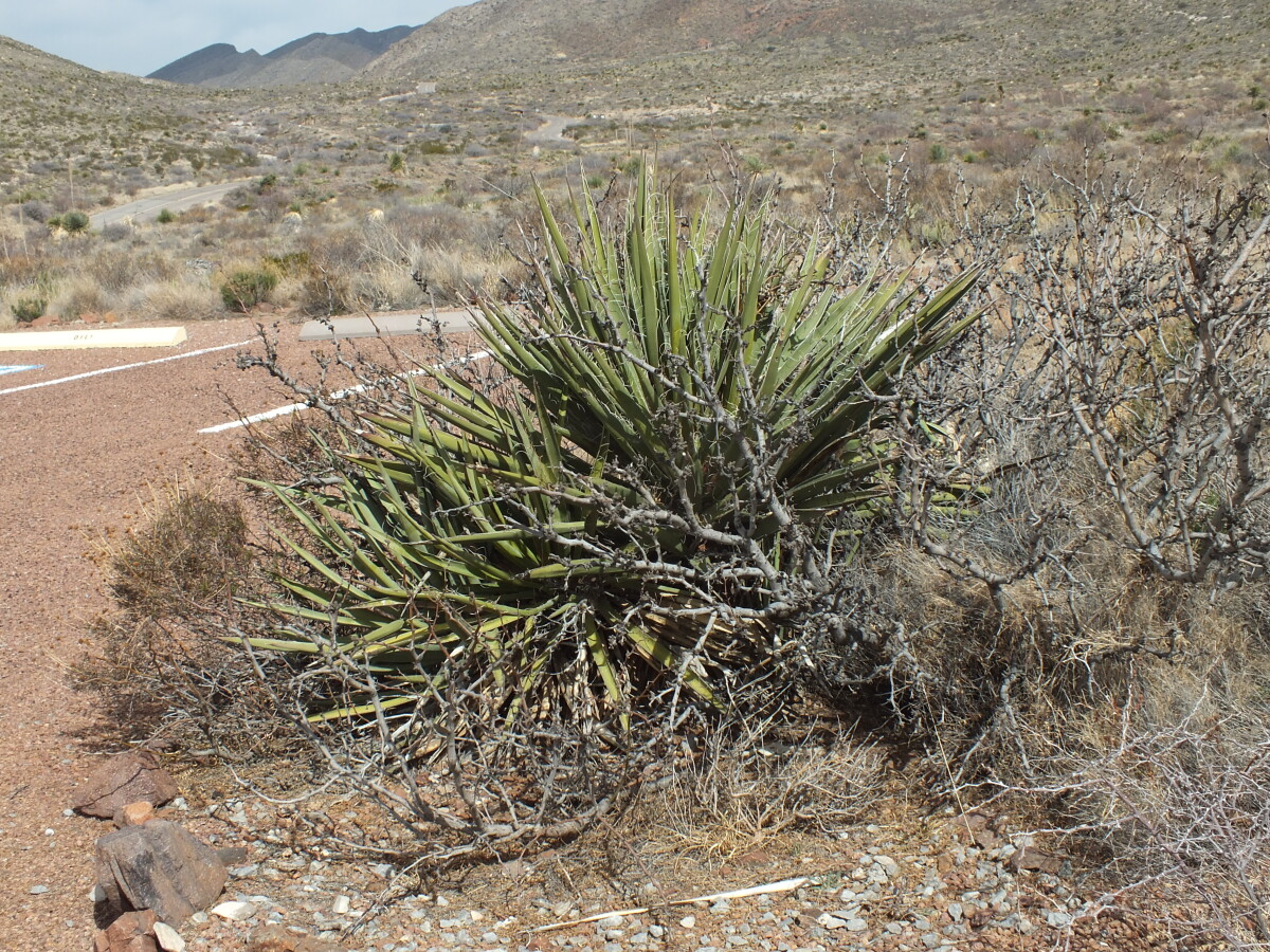
Franklin Mountains State Park Tom Mays Unit
The Tom Mays Unit on the Westside of the Franklin Mountains is part of the Franklin Mountains State Park - the largest urban wilderness park in the continental United States. In the Tom Mays Unit (just off Transmountain Road), visitors have the possibility to hike, climb, camp, picknick, experience the plants and animals of the area and watch gorgeous sunsets.
Report this entry
More from the same community-collection
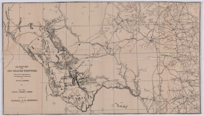
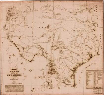
Military Map of the Rio Grande Frontier
Military map of the Rio Grande frontier prepared from original ...
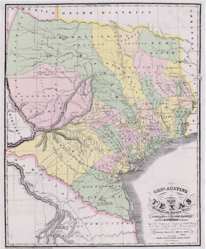
General Austin's Map of Texas with Parts of the Adjoining States
Colorful map of Texas highlighting the borders between states ...
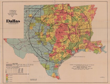
Dallas: Industrial and Distribution Center of the Southwest
Colorful market and distribution map of the Southwest - Texas, ...
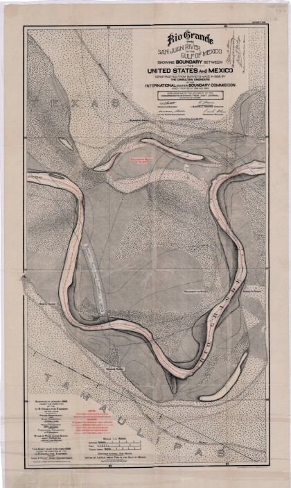
Rio Grande from San Juan River to the Gulf of Mexico
Map illustrates the Rio Grande from the San Juan River to the ...
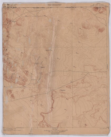
Topography, Texas El Paso County, Cerro Alto Quadrangle
Topographic map of El Paso County Cerro Alto Quadrangle. The ...
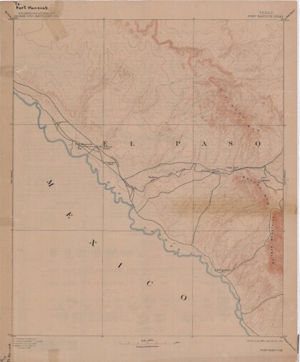
Map of Fort Hancock, Texas circa 1915
Topographical map indicating the location of Fort Hancock and ...
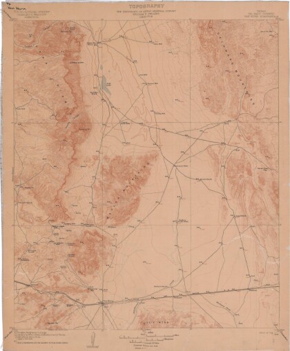
Topography: the University of Texas Mineral Survey
Topographic map of the Van Horn quadrangle in Texas. Indicates ...
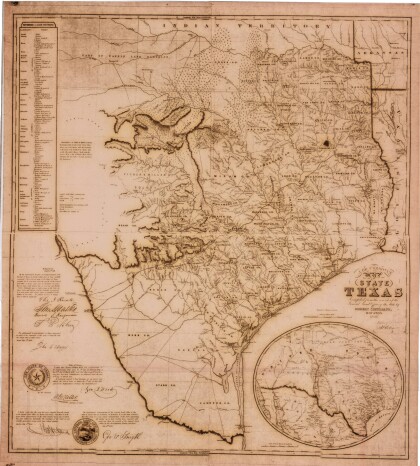
J. De Cordova's State of Texas
This geographical map of Texas was compiled from the records of ...
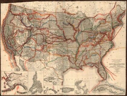
United States - Routes of Principal Explorers
This United States map colorfully illustrates routes taken by ...
Map of the Rio Grande El Paso-Juarez Valley circa 1930
This map illustrates the river path between El Paso, Texas and ...
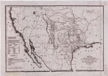
Map of Texas and the Countries Adjacent
This map of Texas and its adjacent countries was compiled for ...
Map of Southwestern United States Natural Gas Pipe Lines
This map illustrates natural gas pipelines extending from ...
