Franklin Mountains State Park Tom Mays Unit
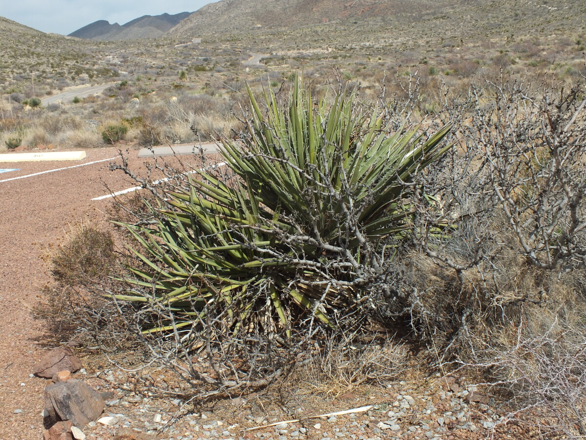
Franklin Mountains State Park Tom Mays Unit
The Tom Mays Unit on the Westside of the Franklin Mountains is part of the Franklin Mountains State Park - the largest urban wilderness park in the continental United States. In the Tom Mays Unit (just off Transmountain Road), visitors have the possibility to hike, climb, camp, picknick, experience the plants and animals of the area and watch gorgeous sunsets.
Report this entry
More from the same community-collection
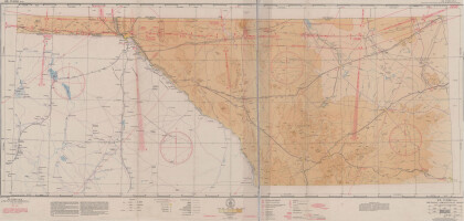
El Paso (P-4) Sectional Aeronautical Chart
Published in April, 1941, this aeronautical map indicates the ...
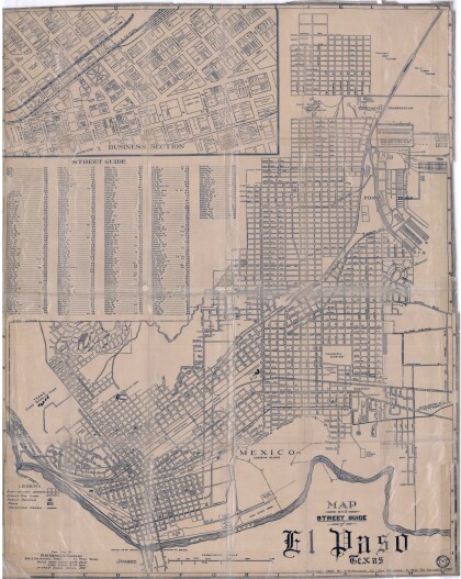
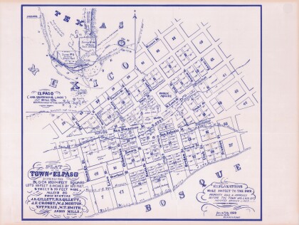
Map and Street Guide of El Paso, Texas circa 1925
Map and street guide of El Paso, Texas. The map includes ...
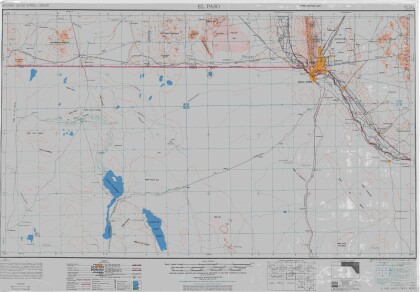
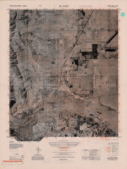
El Paso, Texas Ft. Bliss and Vicinity
Texas photo map of El Paso, Texas, Ft. Bliss and vicinity. Area ...
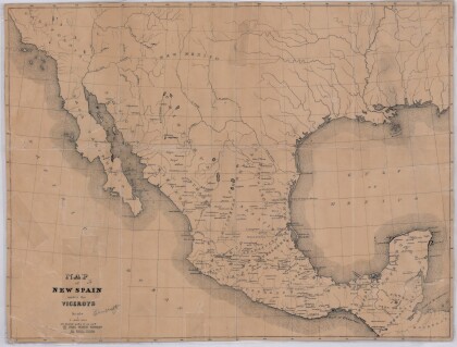
Map of New Spain under the Viceroys
This map illustrates 1600's New Spain. Areas from New Mexico, ...
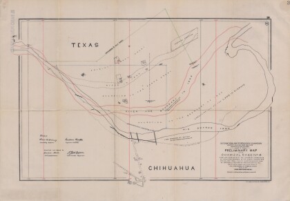
Preliminary Map in the Chamizal Case No. 4
Map compiled from Boundary Commission maps of 1852, from County ...
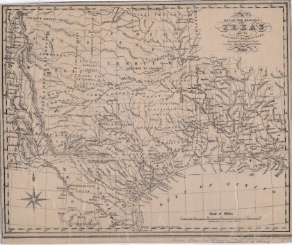
Map of the Republic of Texas and the Adjacent Territories
Map of the Republic of Texas and adjacent territories indicating ...
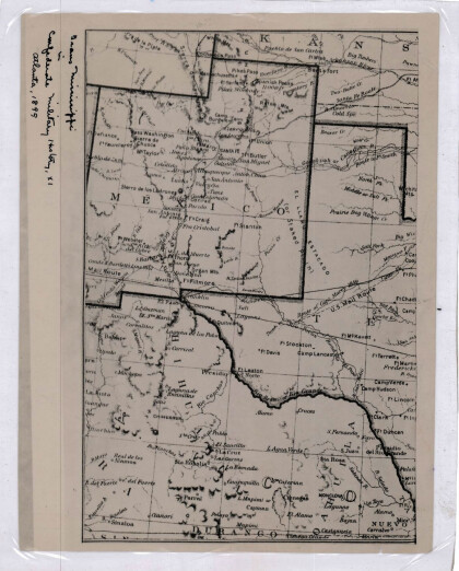
New Mexico, Texas; Chihuahua, Mexico 1861-1865
Map of the borders between New Mexico, Texas and Chihuahua, ...
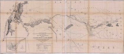
Map No. 1 from Fort Smith to the Rio Grande
Map of the route near the 35th parallel. Part of the ...
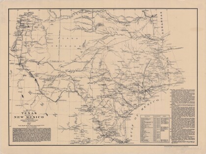
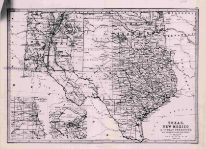
Texas, New Mexico, and Indian Territory
Map of Texas counties and New Mexico showing Indian Territories ...
Biggs and Dan-d CVMA Nationals 2018, El Paso!
We rode 1500 miles to celebrate at the national event with our ...
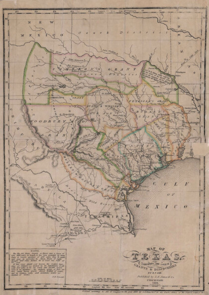
Texas: Containing the Latest Grants and Discoveries
Map of Texas containing the latest grants and discoveries in ...
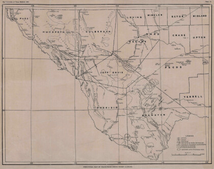
Structural Map of Trans-Pecos Texas
Map of the Trans-Pecos, Texas area; Outlines and lines are shown ...
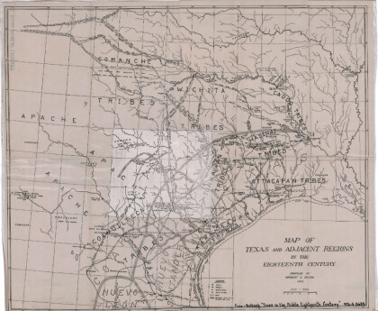
Map of Texas and Adjacent Regions in the Eighteenth Century
Map of Texas and the adjacent regions illustrating missions, ...
