Francisco I. Madero
Francisco I. Madero
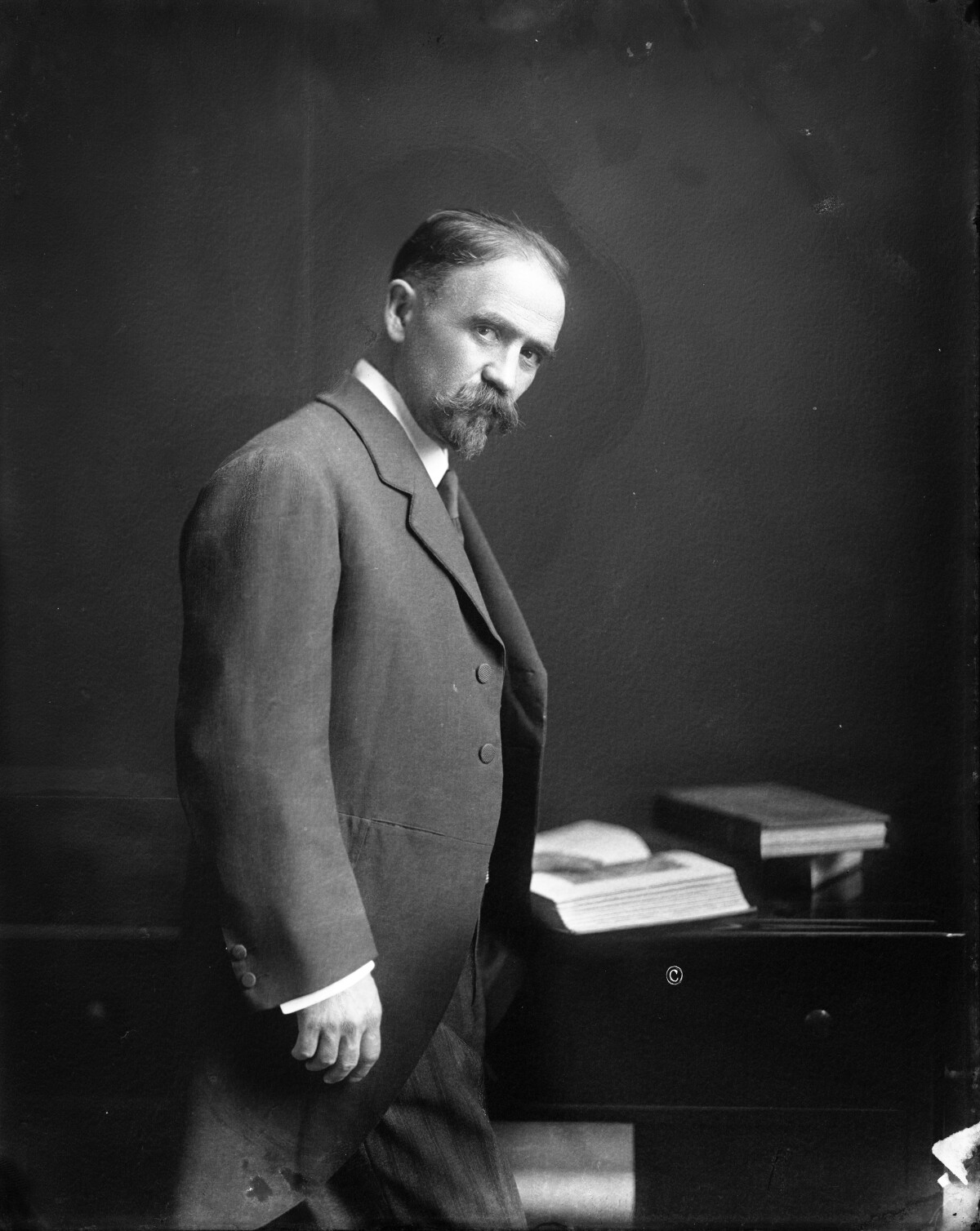
Francisco I. Madero
The portrait shows Francisco I. Madero. Madero started the Mexican Revolution in 1910 in order to overthrow the dictatorial regime of President Porfirio Diaz. From 1911 to 1913 he served as Mexican President, before he was deposed and executed in 1913 by Victoriano Huerta, a general who had served under Díaz. Born into a very wealthy family, Madero was well educated and started to be politically active in 1903. He founded his own newspaper, in which he advocated social justice and democracy. In particular, he criticized the gap between the rich and the poor in Mexico and the repression of Diaz’s critics. For the presidential elections in 1910, Madero organized the “Anti-Reelectionist” party. His campaign became very popular, which is why Diaz arrested him and others on a falsified charge of plotting armed insurrection. Madero was bailed out of jail by his wealthy father, but Diaz had "won" the election. In response, Madero called for armed revolution. Pancho Villa and Pascual Orozco commanded Madero’s army in the Battle of Juarez in April/May 1911, which they won. Their victory led to Diaz’s resignation and to the election of Madero as Mexican President. Today, the people of Mexico see him as the father of revolution that eventually would do much to level the playing field between the rich and the poor. He married his wife Sara Pérez in 1903.
Report this entry
More from the same community-collection
New Mexico, Texas; Chihuahua, Mexico 1861-1865
Map of the borders between New Mexico, Texas and Chihuahua, ...
Map No. 1 from Fort Smith to the Rio Grande
Map of the route near the 35th parallel. Part of the ...
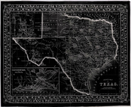
Texas, New Mexico, and Indian Territory
Map of Texas counties and New Mexico showing Indian Territories ...
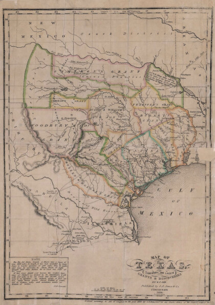
Texas: Containing the Latest Grants and Discoveries
Map of Texas containing the latest grants and discoveries in ...
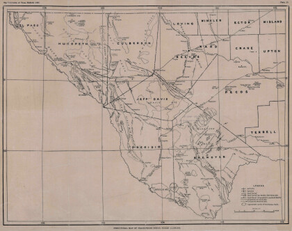
Structural Map of Trans-Pecos Texas
Map of the Trans-Pecos, Texas area; Outlines and lines are shown ...
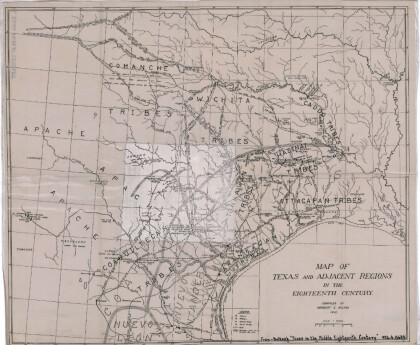
Map of Texas and Adjacent Regions in the Eighteenth Century
Map of Texas and the adjacent regions illustrating missions, ...
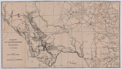
Military Map of the Rio Grande Frontier
Military map of the Rio Grande frontier prepared from original ...
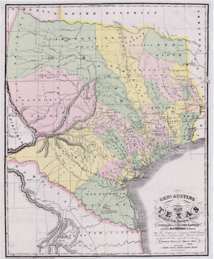
General Austin's Map of Texas with Parts of the Adjoining States
Colorful map of Texas highlighting the borders between states ...
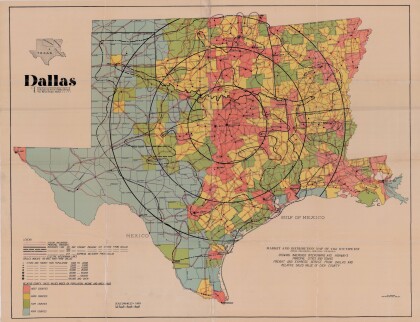
Dallas: Industrial and Distribution Center of the Southwest
Colorful market and distribution map of the Southwest - Texas, ...
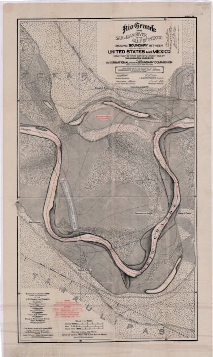
Rio Grande from San Juan River to the Gulf of Mexico
Map illustrates the Rio Grande from the San Juan River to the ...
Map of Fort Hancock, Texas circa 1915
Topographical map indicating the location of Fort Hancock and ...
Topography: the University of Texas Mineral Survey
Topographic map of the Van Horn quadrangle in Texas. Indicates ...
J. De Cordova's State of Texas
This geographical map of Texas was compiled from the records of ...
