Sunset at White Sands - 2015

Sunset at White Sands - 2015
The White Sands National Monument is a U.S. National Monument located about 16 miles (26 km) southwest of Alamogordo in western Otero County and northeastern Doña Ana County in the state of New Mexico, at an elevation of 4,235 feet (1,291 m). The area is in the mountain-ringed Tularosa Basin and comprises the southern part of a 275 square miles (710 km2) field of white sand dunes composed of gypsum crystals. It is the largest gypsum dune field in the world.[2] White Sands has a huge impact in El Paso as that it employees a large number of people from El Paso.
Report this entry
More from the same community-collection
Geological Map of a Portion of West Texas
A geological map of a portion of West Texas based on U.S.G.S. ...
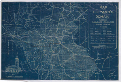
Map of El Paso's Domain circa 1905
Railroad facilities; mining areas of copper, gold, mercury, ...
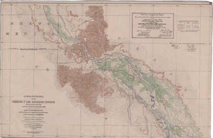
Dividing Line between Mexico and the United States
Map of the dividing line between Mexico and the United States ...
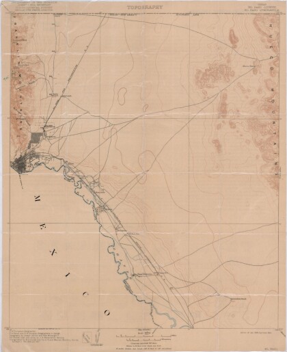
El Paso Quadrangle, Texas (El Paso County)
Topography of El Paso County, Texas and the El Paso Quadrangle. ...
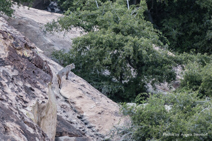
Bobcat "Horchata" at Hueco Tanks
As we wrap up our back country scouting around 5 pm, we spotted ...
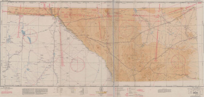
El Paso (P-4) Sectional Aeronautical Chart
Published in April, 1941, this aeronautical map indicates the ...
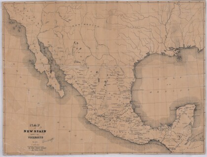
Map of New Spain under the Viceroys
This map illustrates 1600's New Spain. Areas from New Mexico, ...
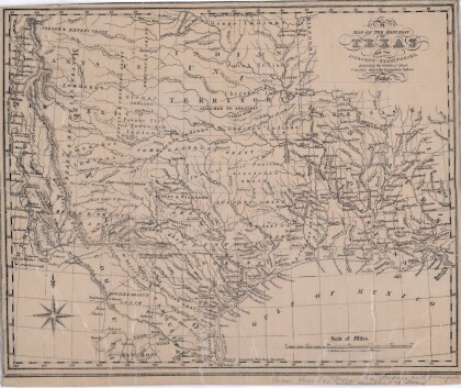
Map of the Republic of Texas and the Adjacent Territories
Map of the Republic of Texas and adjacent territories indicating ...
