Debbie Reynolds and Rick Kern

Debbie Reynolds and Rick Kern
Photo: Debbie Reynolds and Rick Kern in Las Vegas -- 1993. Debbie Reynolds was born Mary Frances Reynolds in El Paso. Her father was a filling station attendant during the Great Depression. The family lived on Magnolia St. in central El Paso for a time, but the economy forced them to move around the city to live with other relatives. Her father held odd jobs in El Paso before finally finding steady work in Burbank, Calif., in 1939. The move to Burbank was a fortunate one for Reynolds. She would go on to win the title of Miss Burbank in 1948. In addition to winning the beauty pageant, she got a screen test with Warner Brothers. Studio head Jack Warner signed her to a contract and promptly changed her name from Mary to Debbie Reynolds. As a child star, Reynolds moved between Warner Brothers and MGM. She worked with such musical legends as Fred Astaire and Busby Berkley. In 1950, she had a breakthrough song with "Aba Daba Honeymoon" from "Two Weeks with Love." She is best remembered for playing opposite Gene Kelly in 1952's "Singin' in the Rain." The experience of making that movie was difficult for her. She said in her autobiography that "Singin' in the Rain" and childbirth were the hardest things she ever had to do in her life. She began rehearsals on the film just two weeks after turning 19. Rick Kern is a Producer/Drummer in El Paso, Texas. http://www.elpasotimes.com/ci_22912847/el-paso-native-debbie-reynolds-turns-81
Report this entry
More from the same community-collection
New Mexico, Texas; Chihuahua, Mexico 1861-1865
Map of the borders between New Mexico, Texas and Chihuahua, ...
Map No. 1 from Fort Smith to the Rio Grande
Map of the route near the 35th parallel. Part of the ...
Texas, New Mexico, and Indian Territory
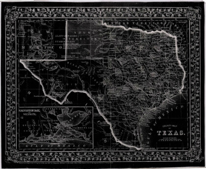
Map of Texas counties and New Mexico showing Indian Territories ...
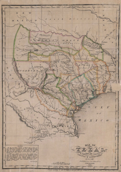
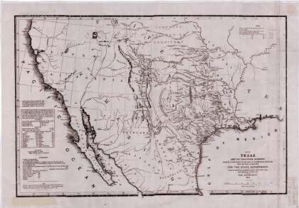
Texas: Containing the Latest Grants and Discoveries
Map of Texas containing the latest grants and discoveries in ...
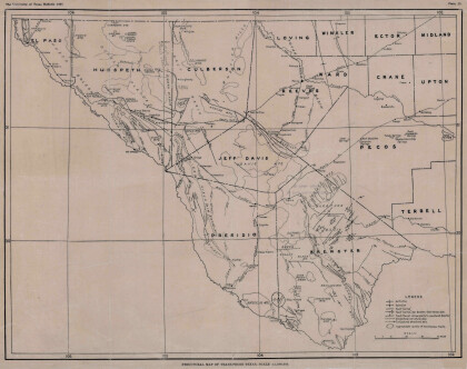
Structural Map of Trans-Pecos Texas
Map of the Trans-Pecos, Texas area; Outlines and lines are shown ...
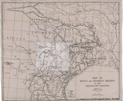
Map of Texas and Adjacent Regions in the Eighteenth Century
Map of Texas and the adjacent regions illustrating missions, ...
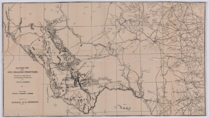
Military Map of the Rio Grande Frontier
Military map of the Rio Grande frontier prepared from original ...
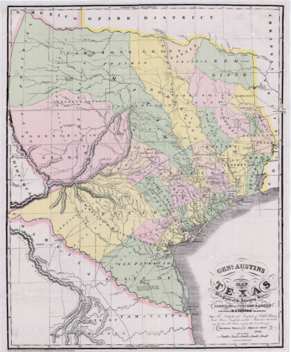
General Austin's Map of Texas with Parts of the Adjoining States
Colorful map of Texas highlighting the borders between states ...
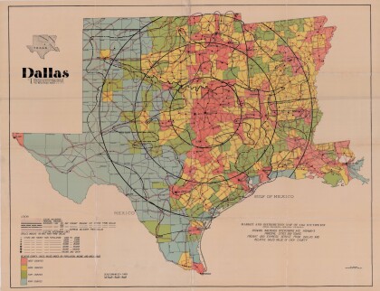
Dallas: Industrial and Distribution Center of the Southwest
Colorful market and distribution map of the Southwest - Texas, ...
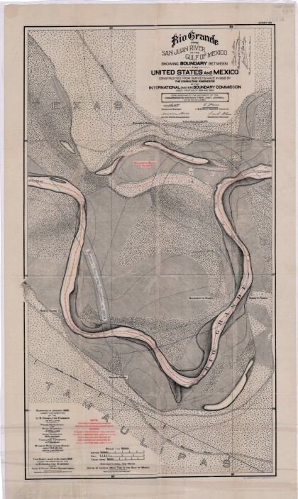
Rio Grande from San Juan River to the Gulf of Mexico
Map illustrates the Rio Grande from the San Juan River to the ...
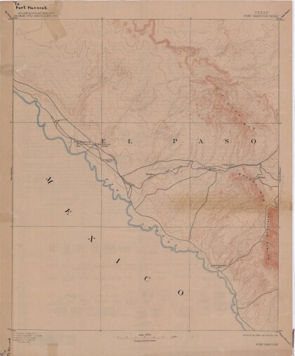
Map of Fort Hancock, Texas circa 1915
Topographical map indicating the location of Fort Hancock and ...
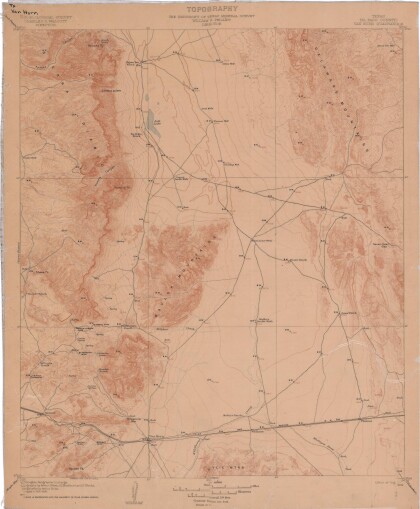
Topography: the University of Texas Mineral Survey
Topographic map of the Van Horn quadrangle in Texas. Indicates ...
J. De Cordova's State of Texas
This geographical map of Texas was compiled from the records of ...
