Elephant Butte Dam
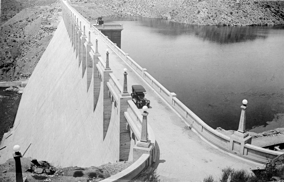
Elephant Butte Dam
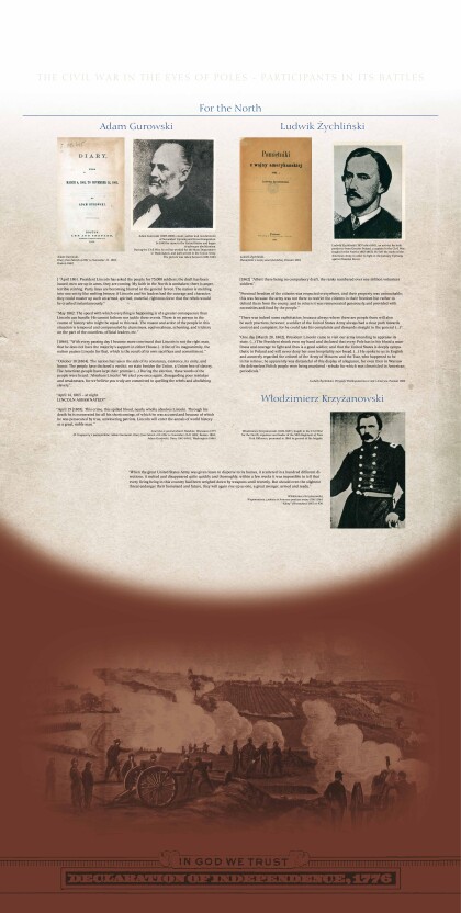
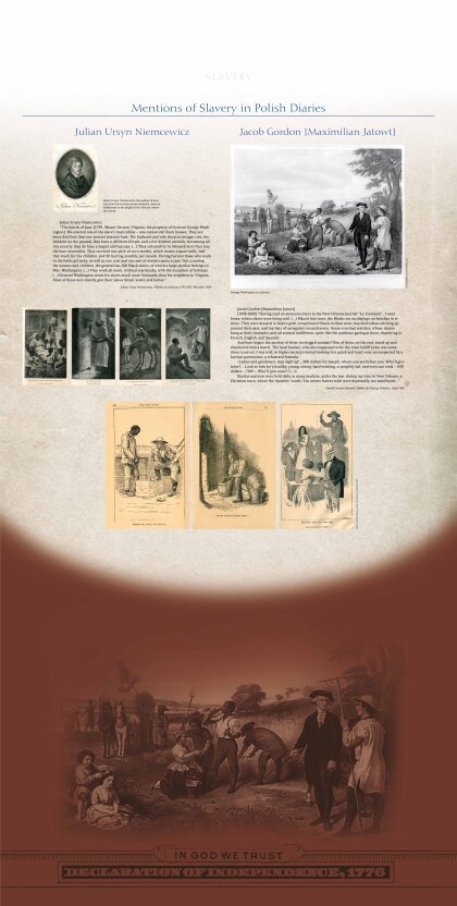
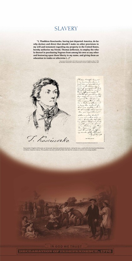
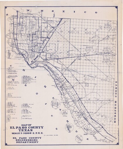
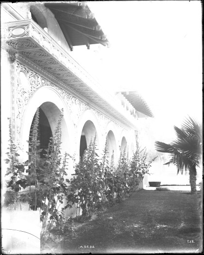
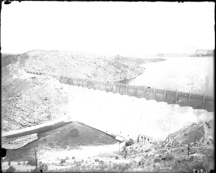
The Elephant Butte Dam in New Mexico was completed in 1916. The photograph was only taken shortly after its opening. The Dam was built to provide flood control and irrigation down-river. The largest body of water in New Mexico was created by its construction. For El Paso, the opening of the dam had a huge impact as it ensured a steady water supply. It was one of the reasons that El Paso developed to a significant industrial, commercial, and transportation center in the Southwest. Many businesses, especially smelting and refining companies, settled here and agricultural production increased. The Elephant Butte Lake has also been used for recreational activities, such as boating, fishing and paragliding.
Report this entry
More from the same community-collection
Geological Map of a Portion of West Texas
A geological map of a portion of West Texas based on U.S.G.S. ...
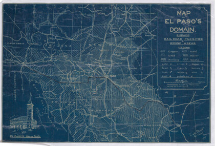
Map of El Paso's Domain circa 1905
Railroad facilities; mining areas of copper, gold, mercury, ...
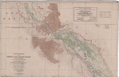
Dividing Line between Mexico and the United States
Map of the dividing line between Mexico and the United States ...
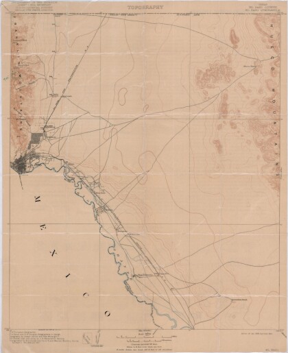
El Paso Quadrangle, Texas (El Paso County)
Topography of El Paso County, Texas and the El Paso Quadrangle. ...
Bobcat "Horchata" at Hueco Tanks
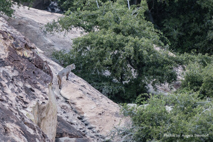
As we wrap up our back country scouting around 5 pm, we spotted ...
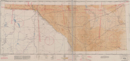
El Paso (P-4) Sectional Aeronautical Chart
Published in April, 1941, this aeronautical map indicates the ...
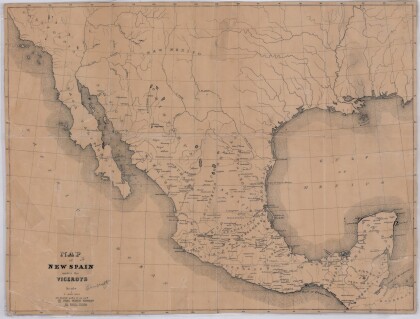
Map of New Spain under the Viceroys
This map illustrates 1600's New Spain. Areas from New Mexico, ...
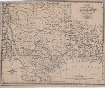
Map of the Republic of Texas and the Adjacent Territories
Map of the Republic of Texas and adjacent territories indicating ...
