J. J. Armes and Marlon Brando
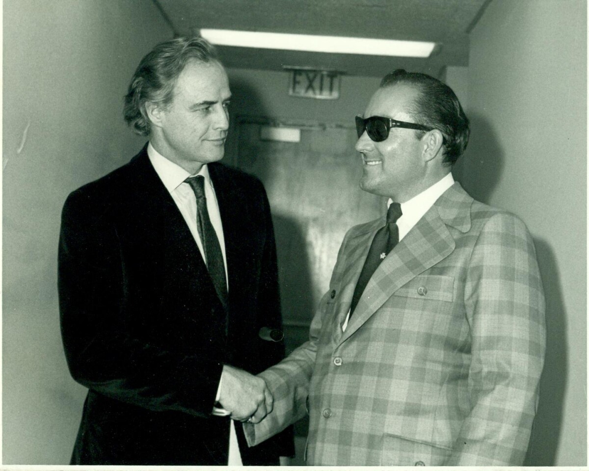
J. J. Armes and Marlon Brando
I had met Marlon Brando in my younger years when I was working in pictures. We used to hang out together and when I became a private investigator I sent him a note and explained to him if he ever needed anything. I received a call from Paris and it was Brando, he said, “Jay, I need your help! My son has been kidnapped.” I started on the case and I went to the place where Christian was living, with Anna Kashfi, his mother. I started doing a neighborhood survey. Three houses across from Anna Kashfi’s house, I interviewed an elderly lady. She said, “A week ago, they were having a party at Ms. Kashfi’s, there was a car that parked in my drive way. I called the police and I wrote the license number. By the time they got here, they had already moved from my drive way. It was a red bus, like a van.” So, I had something to go by and I ran the plates. I went to the port of entries and sure enough the title of the car was there. There was a town called San Felipe (Mexico) and there was one road right next to the ocean; they had no other roads going in to it. I flew a helicopter and I landed on a school ground. I hired 5 federal police to follow me in a jeep. I searched by air, I took off searching by a bunch of caves by the walls of the ocean. I searched for 4 days. The following day, the 5th day, I was searching close to the ocean and I saw the Volkswagen; half of it was in the bushes. I landed near by. I checked the license plate and it was the one I was looking for. There were a bunch of sleeping bags in the caves, 8 of them. I had scoped out everybody. I got my 30 caliber and went in there. I unzipped the sleeping bags and got them all lined up with their hands on the wall. The last sleeping bag was Brando’s son. I recovered Brando and flew him to Los Angeles and called his house. Marlon Brando answered and I said, “I have Christian with me, I found him.” http://thefusionmag.com/jay-j-armes-is-the-worlds-greatest-investigator/
Report this entry
More from the same community-collection
New Mexico, Texas; Chihuahua, Mexico 1861-1865
Map of the borders between New Mexico, Texas and Chihuahua, ...
Map No. 1 from Fort Smith to the Rio Grande
Map of the route near the 35th parallel. Part of the ...
Texas, New Mexico, and Indian Territory
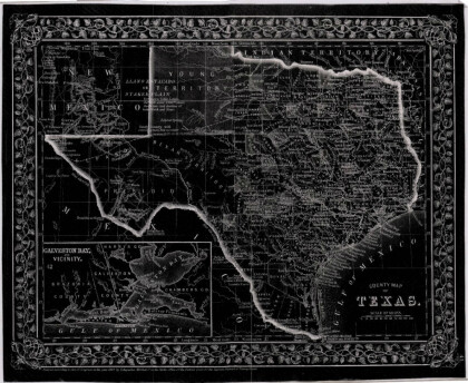
Map of Texas counties and New Mexico showing Indian Territories ...
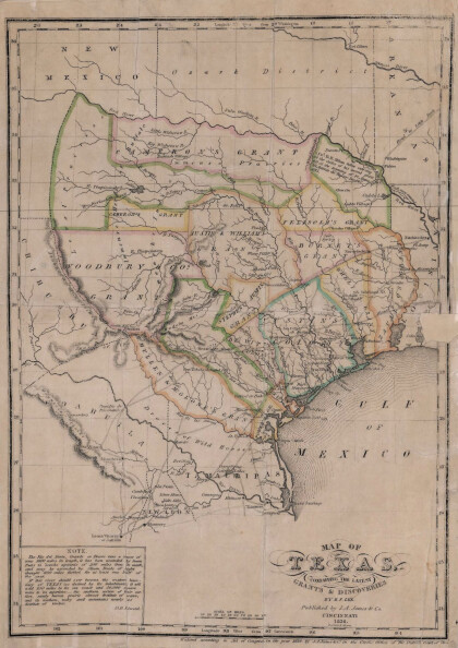
Texas: Containing the Latest Grants and Discoveries
Map of Texas containing the latest grants and discoveries in ...
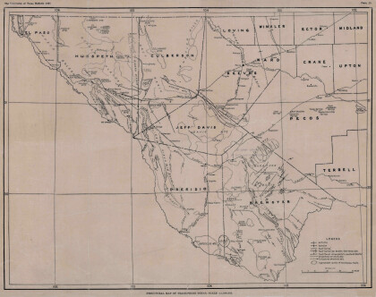
Structural Map of Trans-Pecos Texas
Map of the Trans-Pecos, Texas area; Outlines and lines are shown ...
Map of Texas and Adjacent Regions in the Eighteenth Century
Map of Texas and the adjacent regions illustrating missions, ...
Military Map of the Rio Grande Frontier
Military map of the Rio Grande frontier prepared from original ...
General Austin's Map of Texas with Parts of the Adjoining States
Colorful map of Texas highlighting the borders between states ...
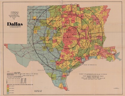
Dallas: Industrial and Distribution Center of the Southwest
Colorful market and distribution map of the Southwest - Texas, ...
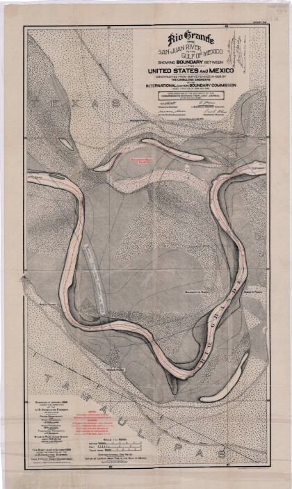
Rio Grande from San Juan River to the Gulf of Mexico
Map illustrates the Rio Grande from the San Juan River to the ...
Map of Fort Hancock, Texas circa 1915
Topographical map indicating the location of Fort Hancock and ...
Topography: the University of Texas Mineral Survey
Topographic map of the Van Horn quadrangle in Texas. Indicates ...
J. De Cordova's State of Texas
This geographical map of Texas was compiled from the records of ...
