El Paso Smelter and Railroad Bridge
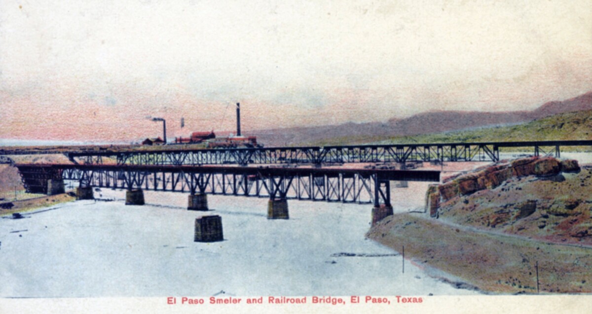
El Paso Smelter and Railroad Bridge

The postcard shows the El Paso railroad bridge in the beginning of the 20th century. To the right is the Mexican bank, to the left the U. S. bank. At that time, the Rio Grande carried a lot more water than it does today. Behind the bridge, some houses and the stacks of Smeltertown can be seen. Smeltertown was an industrial area, which came into being with the construction in 1887 of the Kansas City Consolidated Smelting and Refining Company (later the American Smelting and Refining Company, or ASARCO) copper and lead smelter. In the 1880s the Mexican employees of the smelter began building houses west of the smelter, beside the Rio Grande. The residents lived in very poor conditions, which was brought to attention in the 1940s. In the 1970s it was found out that the majority of the residents there were suffering from lead poisoning due to a huge amount of lead emission. As ASARCO was not prepared to modernize and improve, the residents were forced to move and the smelter closed down.

Area: Central / Smeltertown

Collection: Stansel Postcard Collection

Source: University of Texas at El Paso Library - Special Collections Department

Reference ID: PH049-1-1-036

Uploaded by: El Paso Museum of History

Comments

Add a comment
Thank you for your comment

Report this entry

Choose the most important reason for this report

Your name

Your email address

Optional detail

Thank you for your report

More from the same community-collection

American Dam, 117

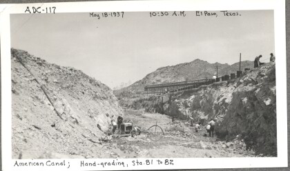
Hand-grading the American Canal

American Dam

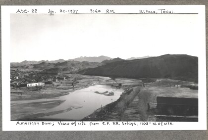
American Dam - View of site from bridge. Photo taken on January ...

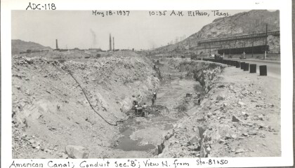
American Dam, 118

Conduit section "B" from north of Station 81 and 50 of the ...

American Dam - P&H excavator driving pile

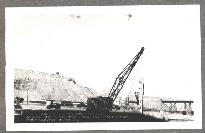
American Dam - View from middle of river, P&H excavator driving ...

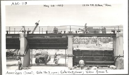
American Dam, 119

Looking from the south, gate number three is open, gate number ...

American Dam, 120

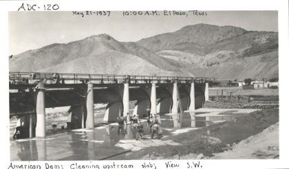
Cleaning the upstream slab of the American Canal (view from the ...

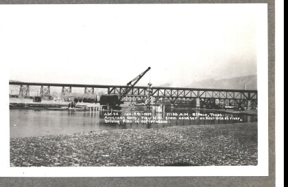
American Dam - Driving piles in coffer-dam

American Dam - View northwest from sandbar on eastside of river, ...

American Dam, 121

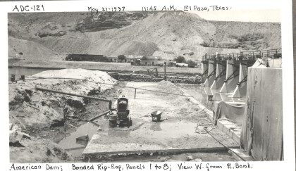
The bonded riprap used to reinforce panels one through eight of ...

American Dam, 122

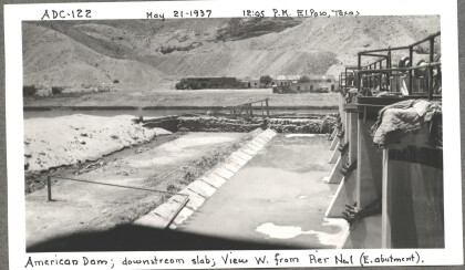
The downstream slab of the American Dam as seen from the east ...

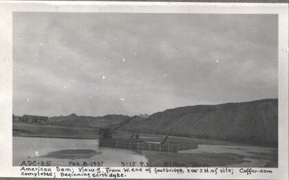
American Dam - Beginning earth dyke

American Dam - View south from west end of foot-bridge. ...

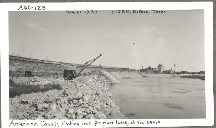
American Dam, 123

Casting rock for the river levee (at stations 69 and 50) of the ...

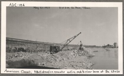
American Dam 124

The P & H dragline excavator casting rock to the river levee at ...

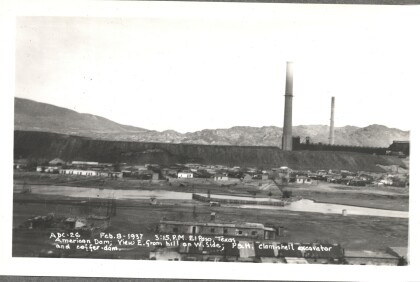
American Dam - P&H clam-shell excavator

American Dam - View east from hill on west side; P&H clam-shell ...

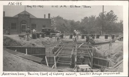
American Dam 125

Pouring the eastern half of the highway culvert of the American ...

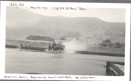
American Dam, 126

The beginning of the downstream dyke of the western cofferdam. A ...

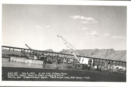
American Dam - Closing gap in downstream dyke

American Dam - View north from middle of river. Closing gap in ...
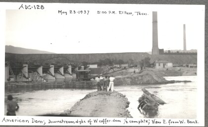
American Dam, 128

The downstream dyke of the western cofferdam (as seen from the ...

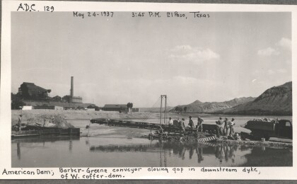
American Dam, 129

A Barber-Greene conveyor closes the gap in the downstream dyke ...

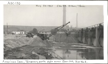
American Dam, 130

The temporary earth dyke across the floor slab near pier two of ...

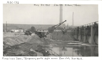
American Dam, 130 (a)

The temporary earth dyke across the floor slab near pier two of ...

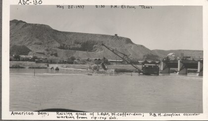
American Dam, 130 (b)

Raising the grade of the southern dyke of the western cofferdam ...

American Dam, 131

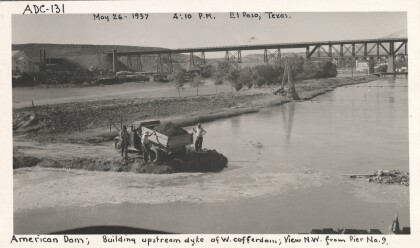
The view from the northwest (from pier nine) of men building the ...

American Dam, 132

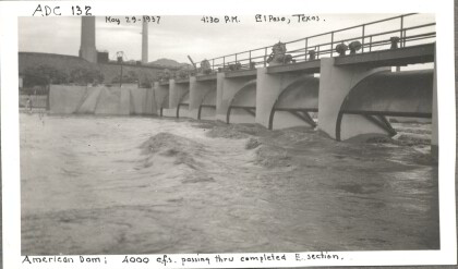
Over 4000 cubic square feet of water passing through the eastern ...

home.search_collection