El Paso Del Norte-Juarez - 1882
El Paso Del Norte-Juarez - 1882
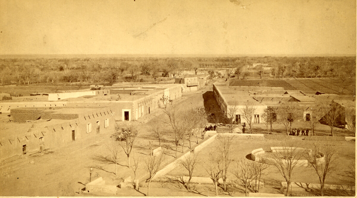
El Paso Del Norte-Juarez - 1882
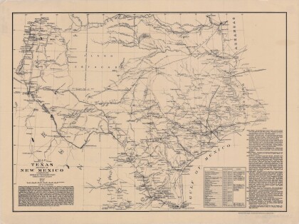
EL PASO DEL NORTE. As they approached the Rio Grande from the south, Spanish explorers in the colonial period viewed two mountain ranges rising out of the desert with a deep chasm between. This site they named El Paso del Norte (the Pass of the North), and it became the location of two future border cities, Ciudad Juárez on the south or right bank of the Rio Grande and El Paso, Texas, on the opposite side of the river. The arrival of the first Spanish expedition at the Pass of the North in 1581 marked the beginning of more than 400 years of history in the El Paso area. It was followed in 1598 by the colonizing expedition under Juan de Oñate. On April 30, 1598, in a ceremony at a site near present San Elizario, Oñate took formal possession of the entire territory drained by the Rio Grande and brought Spanish civilization to the Pass of the North. http://www.tshaonline.org/handbook/online/articles/hdelu
Report this entry
More from the same community-collection
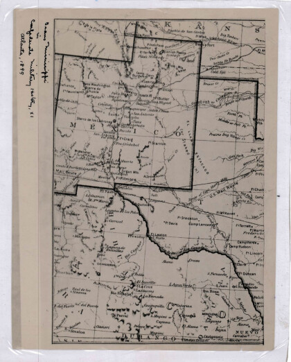
New Mexico, Texas; Chihuahua, Mexico 1861-1865
Map of the borders between New Mexico, Texas and Chihuahua, ...
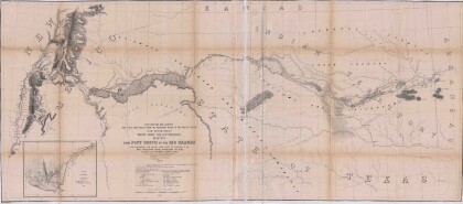
Map No. 1 from Fort Smith to the Rio Grande
Map of the route near the 35th parallel. Part of the ...
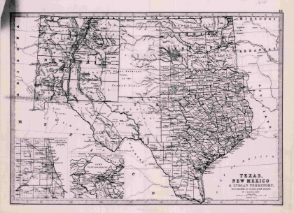
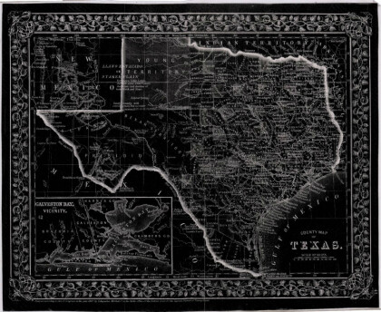
Texas, New Mexico, and Indian Territory
Map of Texas counties and New Mexico showing Indian Territories ...
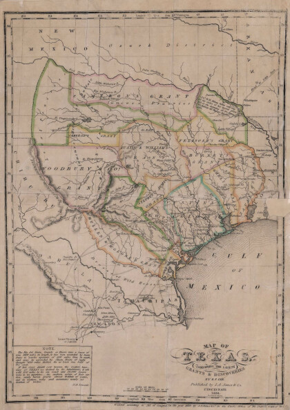
Texas: Containing the Latest Grants and Discoveries
Map of Texas containing the latest grants and discoveries in ...
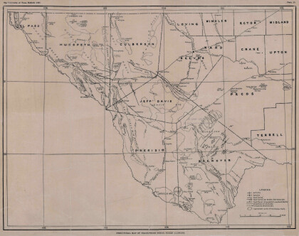
Structural Map of Trans-Pecos Texas
Map of the Trans-Pecos, Texas area; Outlines and lines are shown ...
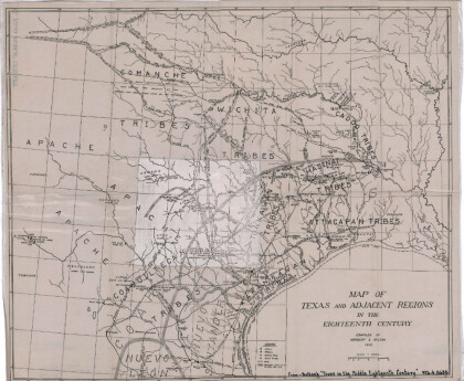
Map of Texas and Adjacent Regions in the Eighteenth Century
Map of Texas and the adjacent regions illustrating missions, ...
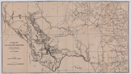
Military Map of the Rio Grande Frontier
Military map of the Rio Grande frontier prepared from original ...
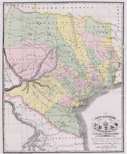
General Austin's Map of Texas with Parts of the Adjoining States
Colorful map of Texas highlighting the borders between states ...
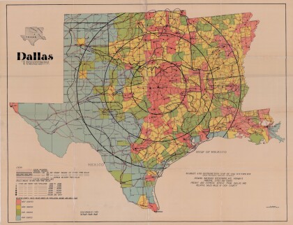
Dallas: Industrial and Distribution Center of the Southwest
Colorful market and distribution map of the Southwest - Texas, ...
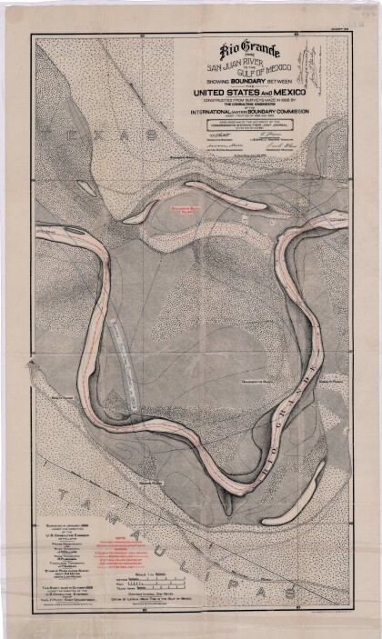
Rio Grande from San Juan River to the Gulf of Mexico
Map illustrates the Rio Grande from the San Juan River to the ...
Map of Fort Hancock, Texas circa 1915
Topographical map indicating the location of Fort Hancock and ...
Topography: the University of Texas Mineral Survey
Topographic map of the Van Horn quadrangle in Texas. Indicates ...
J. De Cordova's State of Texas
This geographical map of Texas was compiled from the records of ...
