El Paso Del Norte-Juarez - 1882
El Paso Del Norte-Juarez - 1882
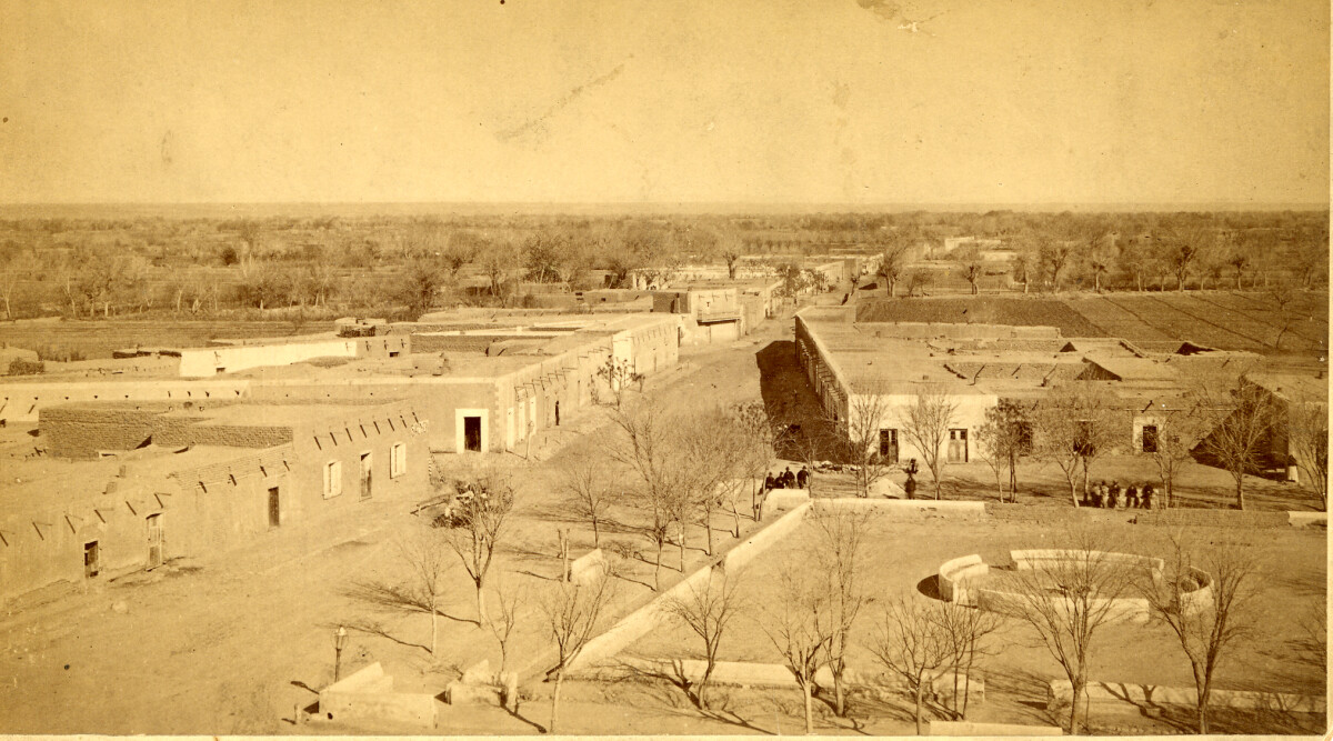
El Paso Del Norte-Juarez - 1882
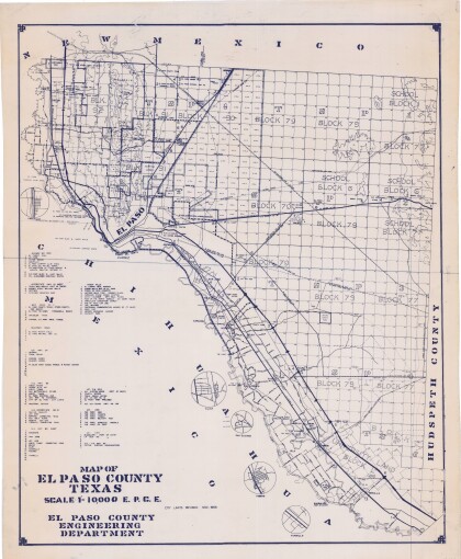
EL PASO DEL NORTE. As they approached the Rio Grande from the south, Spanish explorers in the colonial period viewed two mountain ranges rising out of the desert with a deep chasm between. This site they named El Paso del Norte (the Pass of the North), and it became the location of two future border cities, Ciudad Juárez on the south or right bank of the Rio Grande and El Paso, Texas, on the opposite side of the river. The arrival of the first Spanish expedition at the Pass of the North in 1581 marked the beginning of more than 400 years of history in the El Paso area. It was followed in 1598 by the colonizing expedition under Juan de Oñate. On April 30, 1598, in a ceremony at a site near present San Elizario, Oñate took formal possession of the entire territory drained by the Rio Grande and brought Spanish civilization to the Pass of the North. http://www.tshaonline.org/handbook/online/articles/hdelu
Report this entry
More from the same community-collection
Geological Map of a Portion of West Texas
A geological map of a portion of West Texas based on U.S.G.S. ...
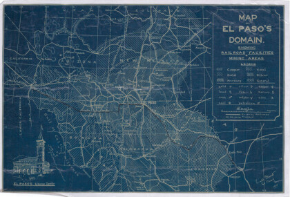
Map of El Paso's Domain circa 1905
Railroad facilities; mining areas of copper, gold, mercury, ...
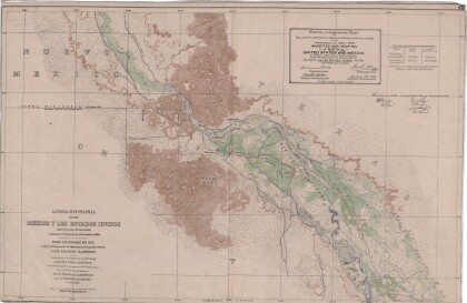
Dividing Line between Mexico and the United States
Map of the dividing line between Mexico and the United States ...
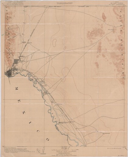
El Paso Quadrangle, Texas (El Paso County)
Topography of El Paso County, Texas and the El Paso Quadrangle. ...
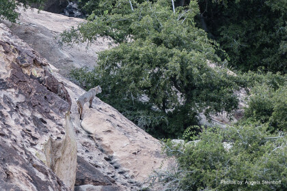
Bobcat "Horchata" at Hueco Tanks
As we wrap up our back country scouting around 5 pm, we spotted ...
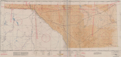
El Paso (P-4) Sectional Aeronautical Chart
Published in April, 1941, this aeronautical map indicates the ...
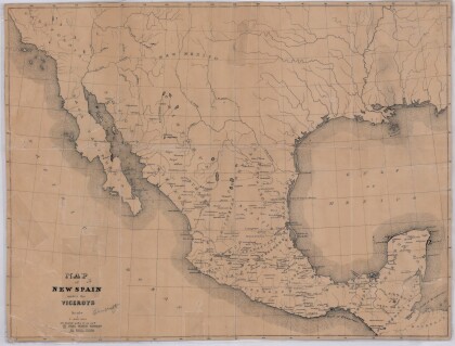
Map of New Spain under the Viceroys
This map illustrates 1600's New Spain. Areas from New Mexico, ...
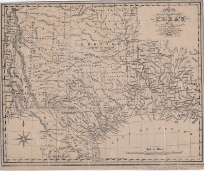
Map of the Republic of Texas and the Adjacent Territories
Map of the Republic of Texas and adjacent territories indicating ...
