James Staub - Collection

James Staub - Collection

James Staub - Collection

James Staub - Collection

James Staub - Collection

James Staub - Collection

James Staub - Collection

James Staub - Collection

James Staub - Collection

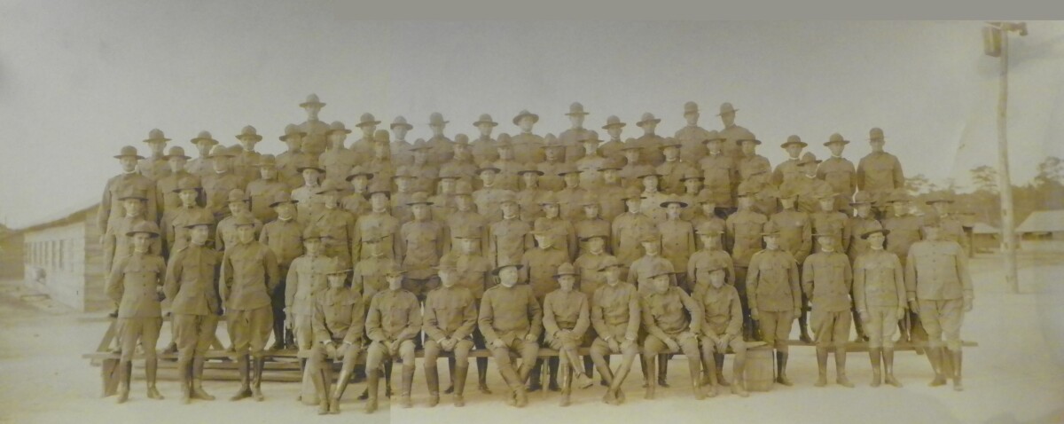
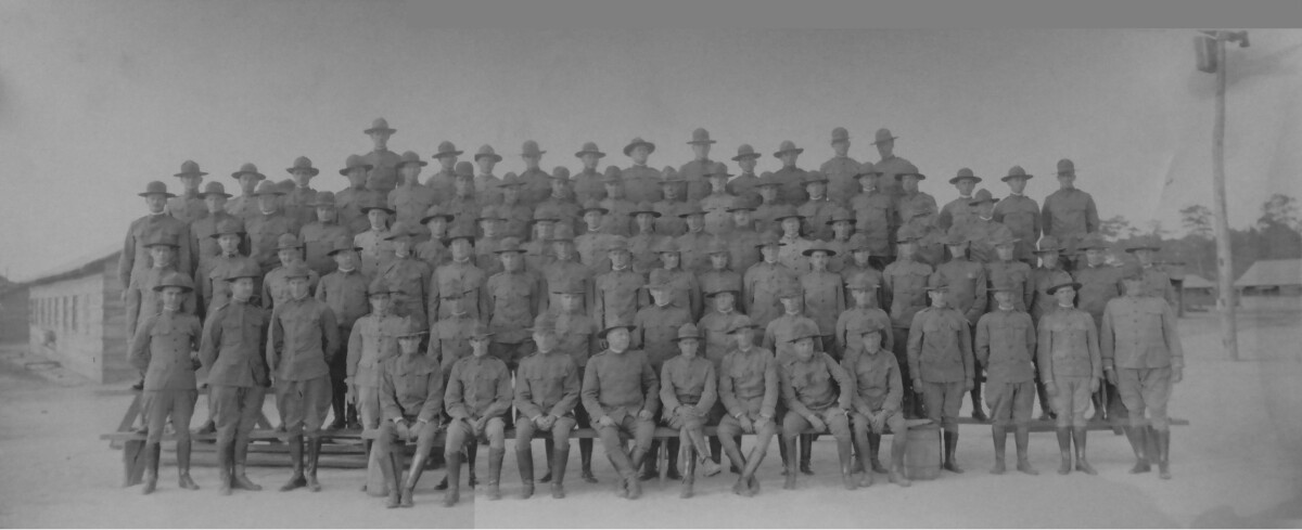
General Montgomery and Staff - 1916

General Montgomery and Staff - 1916 - Ft Bliss, El Paso, Texas.

Area: Northeast / Ft. Bliss

Source: James Staub

Uploaded by: El Paso Museum of History

Comments

Add a comment
Thank you for your comment

General Speaks, Commanding Officer - Fort Bliss, Texas - 1916

Seventh Brigade - Ohio Infantry, 4th Infantry, 5th Infantry, 8th Infantry - General Speaks, Commanding Officer. Photograph taken at Fort Bliss - El Paso, Texas.

Area: Northeast / Ft. Bliss

Source: James Staub

Uploaded by: El Paso Museum of History

Comments

Add a comment
Thank you for your comment

9th Battalion In Front Of El Paso High School - 1916

9th Battalion in front of El Paso High School - El Paso High School - 1916

Area: Central / El Paso High

Source: James Staub

Uploaded by: El Paso Museum of History

Comments

Add a comment
Thank you for your comment

Mexican Officers - 1916

Mexican Officers - 1916 - Names are unknown.

Area: Out of Area / Out of Area

Source: James Straub

Uploaded by: El Paso Museum of History

Comments

Add a comment
Thank you for your comment

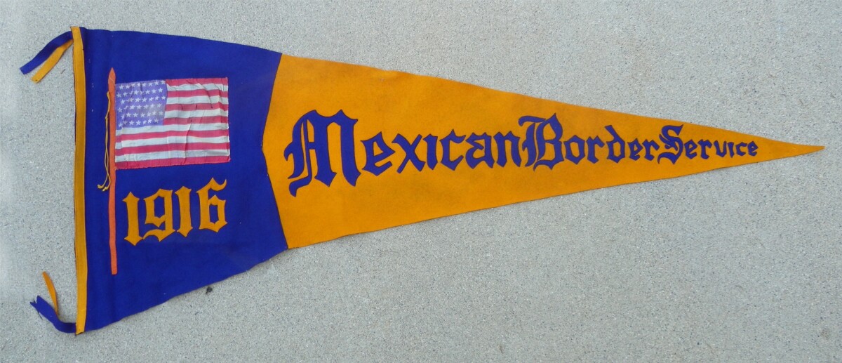
Mexican Border Service - 1916

ON THE BORDER For better or for worse, the National Guard was now alert and mobilized, all the while believing they were headed for a war. Ultimately, the war with Mexico never came about. Instead of fighting their way to Mexico City as their forefathers had in the 1850s, the National Guard units settled into a cycle of border guard duty and rigorous training. The desert proved a tough environment and, with the Soldiers adapting as best they could, most units were rounding into shape by December 1916. In February 1917, when it was apparent to all that the Punitive Expedition had accomplished about all it was going to, Pershing was ordered to bring his command out of Mexico. The Guard units were likewise gradually withdrawn from the border and sent home. It was just in time. President Wilson had reached the end of his patience with the Germans and was about to take his nation to war against them. Many of the Guard units returned home to find a new set of mobilization orders waiting for them to protect "key installations" from sabotage. If the president was going to fight to make the world safe for democracy, the National Guard, now toughened after months of realistic training on the border in Texas, New Mexico, California, and Arizona, was going to be a key part of his force. It was no coincidence that three of the first five divisions sent to France were from the National Guard.

Area: Central / Downtown

Source: James Straub

Uploaded by: El Paso Museum of History

Comments

Add a comment
Thank you for your comment

General Speaks, Commanding Officer - Fort Bliss, Texas - 1916

Seventh Brigade - Ohio Infantry, 4th Infantry, 5th Infantry, 8th Infantry - General Speaks, Commanding Officer. Photograph taken at Fort Bliss - El Paso, Texas.

Area: Northeast / Ft. Bliss

Source: James Straub

Uploaded by: El Paso Museum of History

Comments

Add a comment
Thank you for your comment

9th Battalion - El Paso High School - 1916

9th Battalion in front of El Paso High School in El Paso,Texas - 1916

Area: Central / El Paso High

Source: James Staub

Uploaded by: El Paso Museum of History

Comments

Add a comment
Thank you for your comment

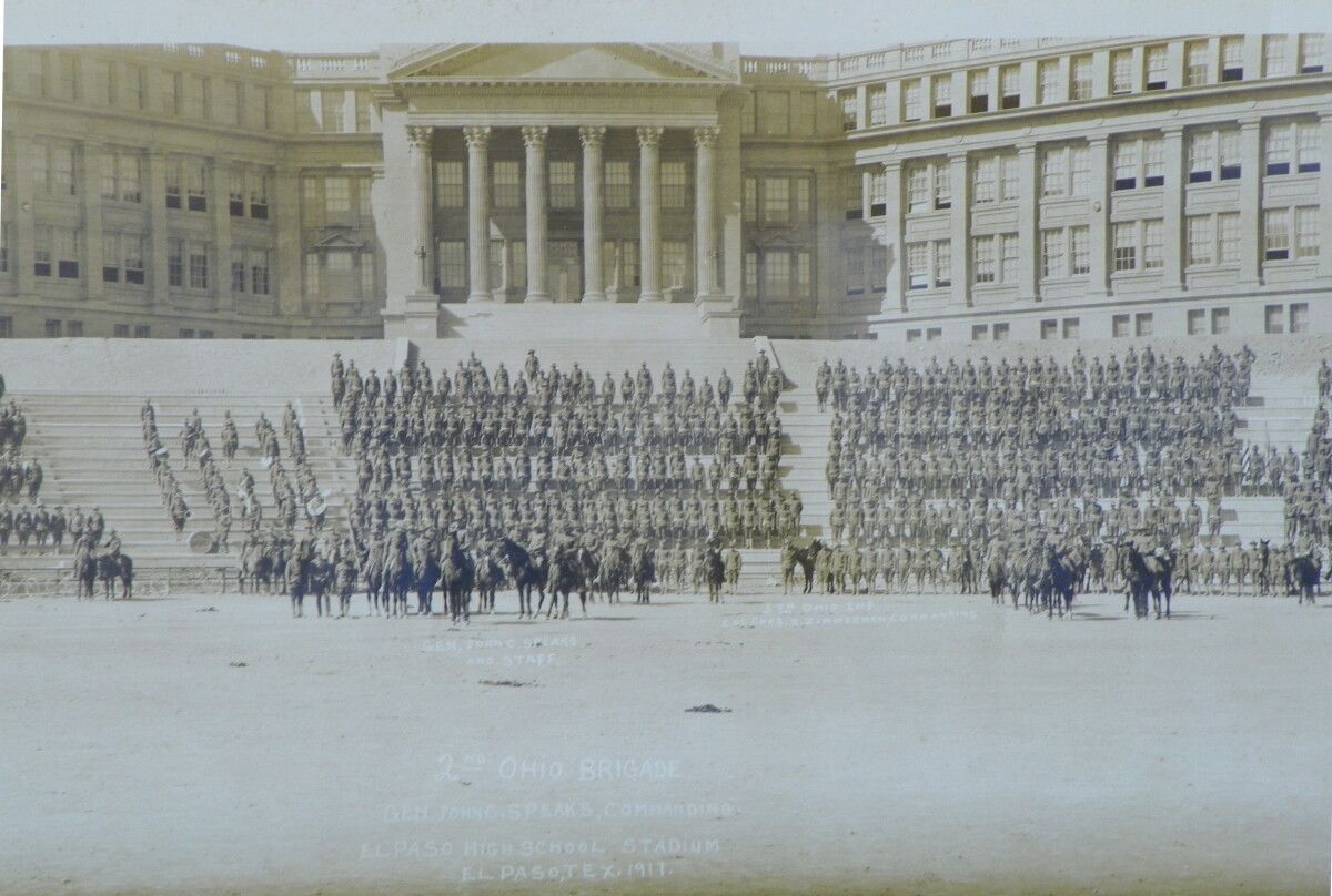
2nd Ohio Brigade - 1917

General John C. Speaks - commanded the 2nd Ohio Brigade in El Paso, Texas on the Mexican Border. Photograph of the brigade in front of El Paso High School, El Paso, Texas.

Area: Central / El Paso High

Source: James Straub

Uploaded by: El Paso Museum of History

Comments

Add a comment
Thank you for your comment

General Montgomery With Staff - 1916

General Montgomery with staff at Fort Bliss -- near El Paso, Texas.

Area: Northeast / Ft. Bliss

Source: James Staub

Uploaded by: El Paso Museum of History

Comments

Add a comment
Thank you for your comment

Report this entry

Choose the most important reason for this report

Your name

Your email address

Optional detail

Thank you for your report

More from the same community-collection

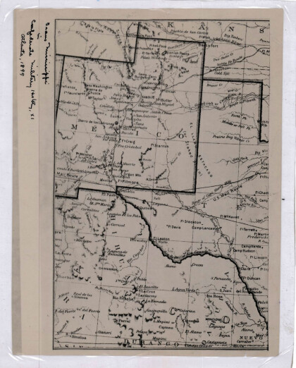
Texas and Part of New Mexico

Area and topography of Texas and part of New Mexico in 1857; ...

New Mexico, Texas; Chihuahua, Mexico 1861-1865

Map of the borders between New Mexico, Texas and Chihuahua, ...

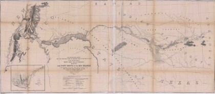
Map No. 1 from Fort Smith to the Rio Grande

Map of the route near the 35th parallel. Part of the ...

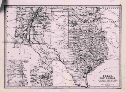
Texas, New Mexico, and Indian Territory

Map of Texas counties and New Mexico showing Indian Territories ...

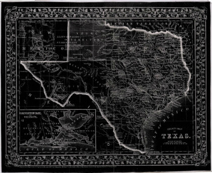
County Map of Texas

This is a county map of Texas represented in black, white and ...

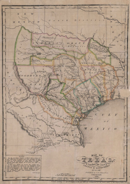
Texas: Containing the Latest Grants and Discoveries

Map of Texas containing the latest grants and discoveries in ...

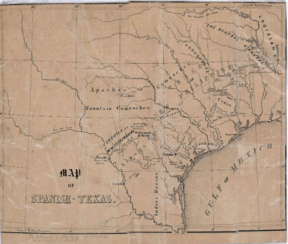
Map of Spanish-Texas

Map illustrates the location of rivers, cities and Indian ...

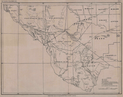
Structural Map of Trans-Pecos Texas

Map of the Trans-Pecos, Texas area; Outlines and lines are shown ...

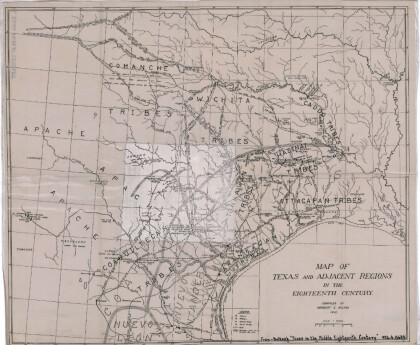
Map of Texas and Adjacent Regions in the Eighteenth Century

Map of Texas and the adjacent regions illustrating missions, ...

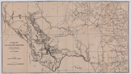
Military Map of the Rio Grande Frontier

Military map of the Rio Grande frontier prepared from original ...

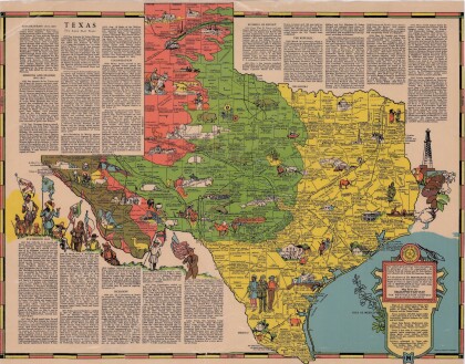
Texas the Lone Star State

Picturesque historical map of Texas with information on ...

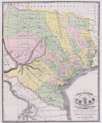
General Austin's Map of Texas with Parts of the Adjoining States

Colorful map of Texas highlighting the borders between states ...

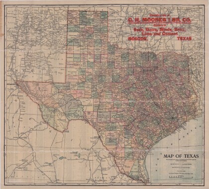
Map of Texas

This map of Texas includes colored divisions of counties with ...

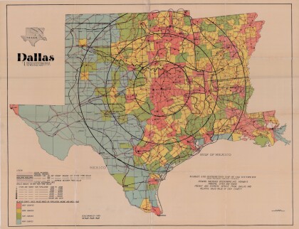
Dallas: Industrial and Distribution Center of the Southwest

Colorful market and distribution map of the Southwest - Texas, ...

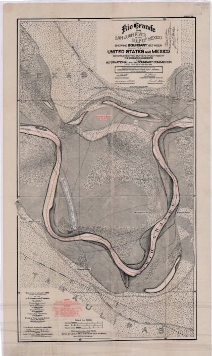
Rio Grande from San Juan River to the Gulf of Mexico

Map illustrates the Rio Grande from the San Juan River to the ...

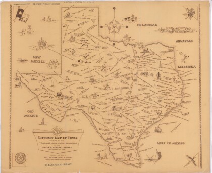
Literary Map of Texas

Illustrative literary map of Texas shows book titles and author ...

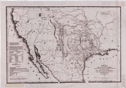
Texas and the Countries Adjacent

Map of Texas (1844) and its adjacent countries includes ...

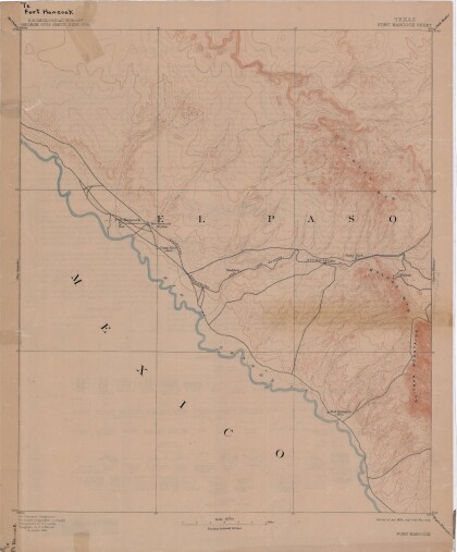
Map of Fort Hancock, Texas circa 1915

Topographical map indicating the location of Fort Hancock and ...

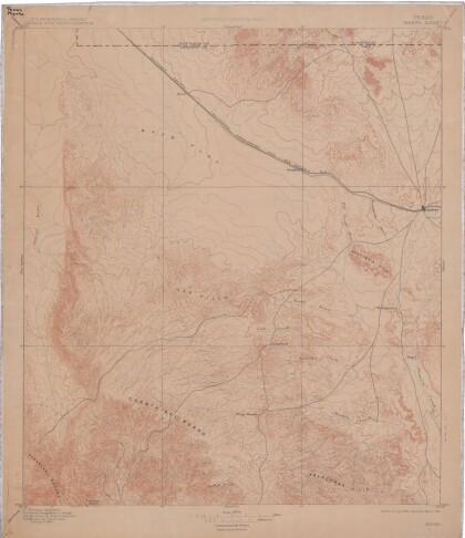
Reconnaissance Map: Texas Marfa

This topographic USGS map sheet indicates Marfa's surrounding ...

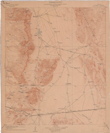
Topography: the University of Texas Mineral Survey

Topographic map of the Van Horn quadrangle in Texas. Indicates ...

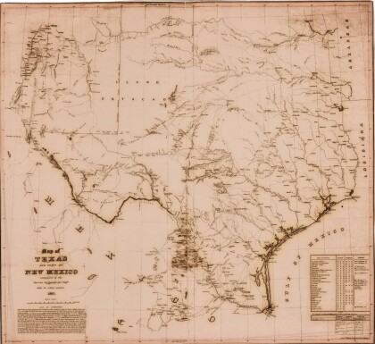
Map of Texas and Part of New Mexico

Map of Texas and part of New Mexico compiled chiefly for ...

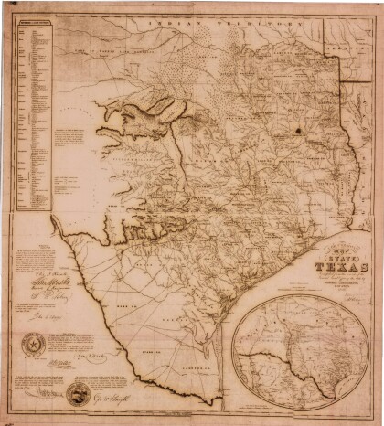
J. De Cordova's State of Texas

This geographical map of Texas was compiled from the records of ...
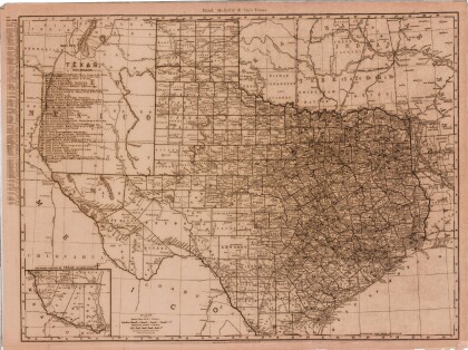
Texas

This Texas map illustrates county boundaries, railroad lines, ...

home.search_collection