Angulotario

Angulotario

Angulotario

Angulotario

Angulotario

Angulotario

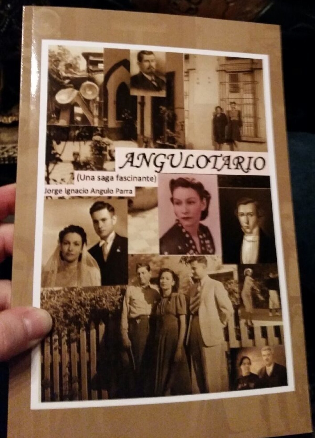
"Angulotario": Family history from 1797 to 2014.

Illustrated by many pictures of the Angulo family and their relations, making reference to the stories herein which have historical value both from Mexico and the United States of America.

Area: Westside / Mission Hills

Source: Jorge I. Angulo

Uploaded by: Jorge I. Angulo

Comments

Add a comment
Thank you for your comment

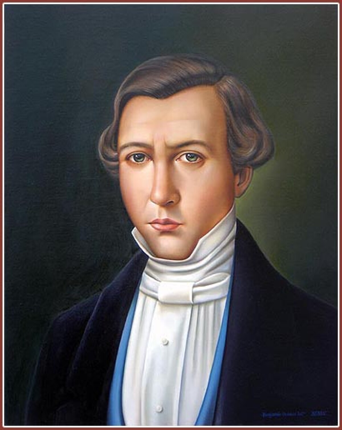
Joaquin Angulo-Gonzalez-1845

Governor of Jalisco 1845, contributed the San Blas Battalion to the defense of the Chapultepec Castle against the invasion from the United States marines. Image Description: A colored portrait of Joaquin Angulo-Gonzalez is shown in this image. He wears a dark coat with a light blue vest underneath and a white button up shirt covering his neck. His hair is grayish, parted at the side and curled inside at his ears. He is light skinned with green eyes and faces the painter sternly with no expression on his face.

Area: Out of Area / Out of Area

Source: Jorge I. Angulo

Uploaded by: Jorge I. Angulo

Comments

Add a comment
Thank you for your comment

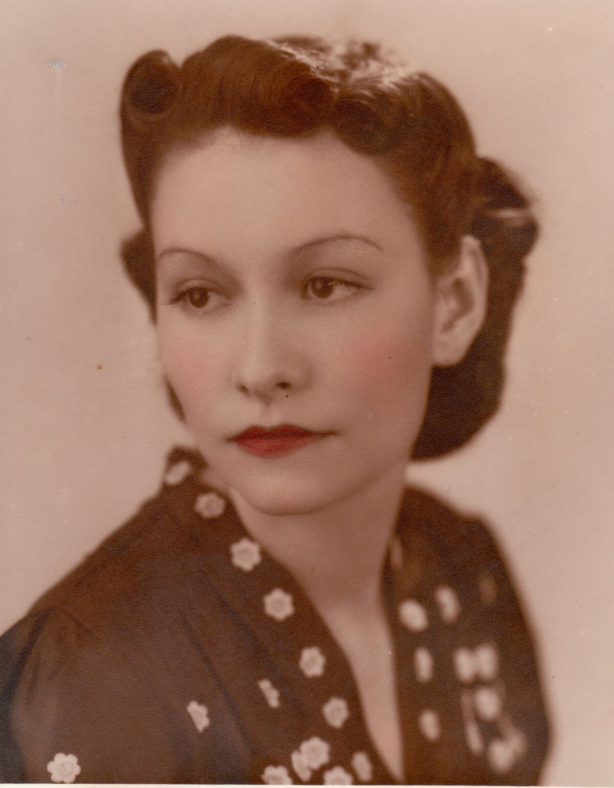
Hermila Parra de Angulo-1940

Wife of prominent Juárez attorney Ignacio Angulo and mother of Jorge, Yolanda and Carlos Angulo. Prominent member of the Cd. Juárez social structure. President of the International Lions' Club, ladies committee.

Area: Out of Area / Ciudad Juarez

Source: Jorge I. Angulo

Uploaded by: Jorge I. Angulo

Comments

Add a comment
Thank you for your comment

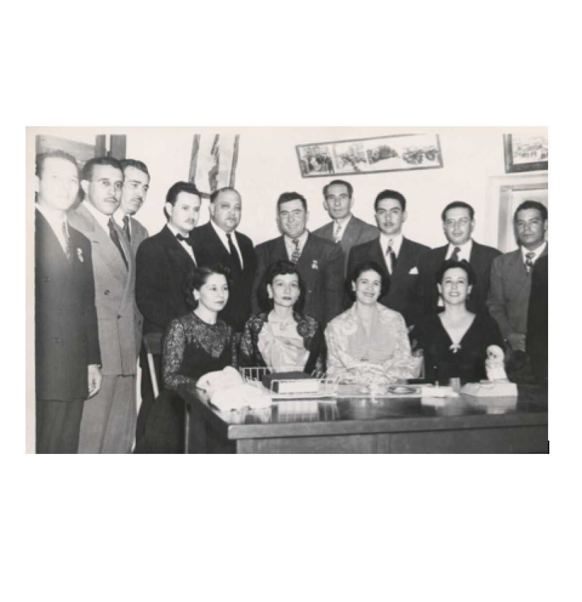
Celebrating Mexican Independence-1949

Juarez Mayor, some of his cabinet members and their wifes and friends being Domingo Fernandez, Rodolfo Valenzuela, Consul Roberto Urrea, Ignacio Angulo, City Manager, Carlos Villarreal, Mayor of Juarez, Silverio Villalobos, secretary general of the Federation of Workers, Jesus R. Silva, Mario Jaquez, personal secretary of the Mayor, Jesus Fierro. the ladies are: Julia de Urrea, Hermila P. de Angulo, Josefina Q. de Villarreal and Gloria de Silva.

Area: Out of Area / Ciudad Juarez

Source: Jorge I. Angulo

Uploaded by: Jorge I. Angulo

Comments

Add a comment
Thank you for your comment

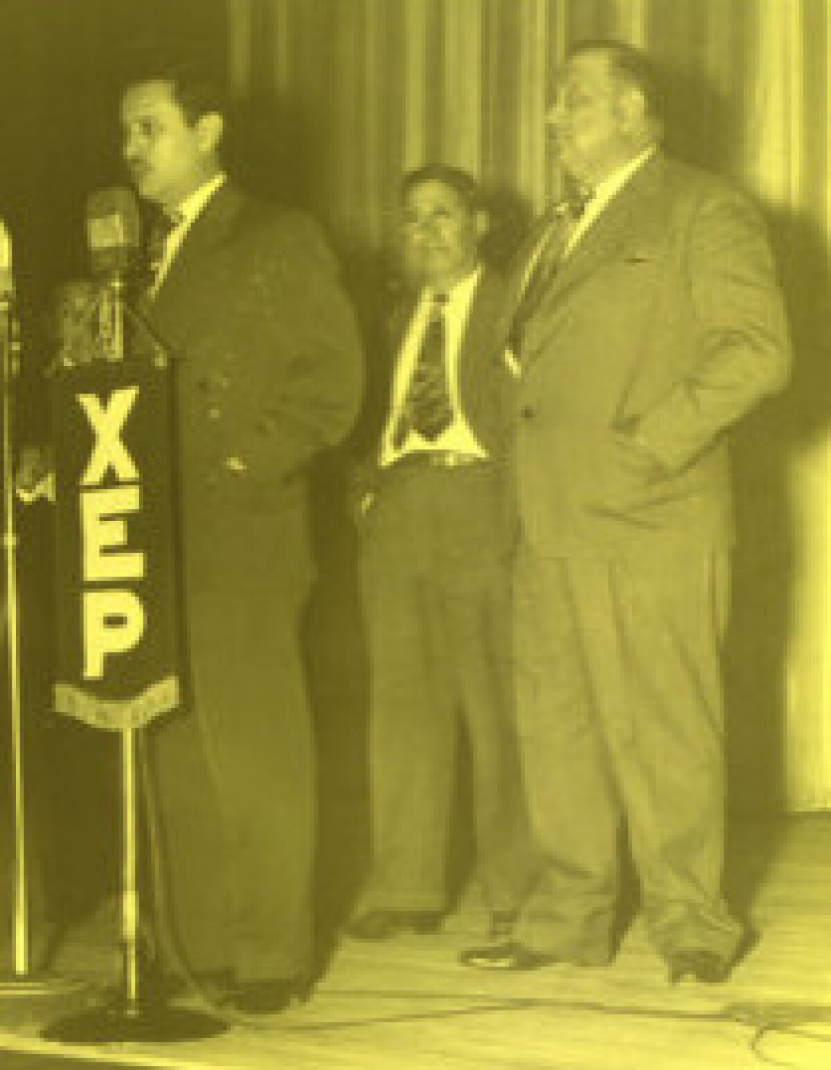
Inauguration of Plaza Theater in Cd. Juarez-1948

Ignacio Angulo, City Administrator, acting as master of ceremonies for the Cd. Juárez government during the inauguration of the Plaza Theater. Behind him Mayor substitute, Francisco Triana and Mayor Carlos Villarreal.

Area: Out of Area / Ciudad Juarez

Source: Jorge I. Angulo

Uploaded by: Jorge I. Angulo

Comments

Add a comment
Thank you for your comment

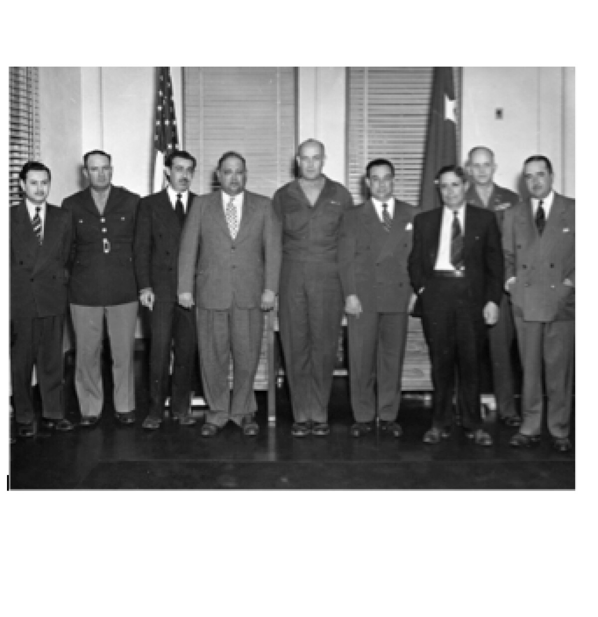
Juarez Mayor visits Fort Bliss-1947

Ignacio Angulo Araico, City Administrator, Lieutenant Coronel Rosendo de Anda, Chief of police, Consul Roberto Urrea, Carlos Villarreal, Mayor, Mayor General John L. Homer, Fort Bliss Commander, Coronel Raul Michel, Mexican Council, Francisco Triana, Substitute Mayor, Coronel Evans R. Crowell, Juan Stockmeyer and Enrique Flores.

Area: Northeast / Ft. Bliss

Source: Jorge I. Angulo

Uploaded by: Jorge I. Angulo

Comments

Add a comment
Thank you for your comment

Report this entry

Choose the most important reason for this report

Your name

Your email address

Optional detail

Thank you for your report

More from the same community-collection

Texas and Part of New Mexico

Area and topography of Texas and part of New Mexico in 1857; ...

New Mexico, Texas; Chihuahua, Mexico 1861-1865

Map of the borders between New Mexico, Texas and Chihuahua, ...

Map No. 1 from Fort Smith to the Rio Grande

Map of the route near the 35th parallel. Part of the ...

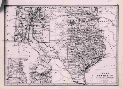
Texas, New Mexico, and Indian Territory

Map of Texas counties and New Mexico showing Indian Territories ...

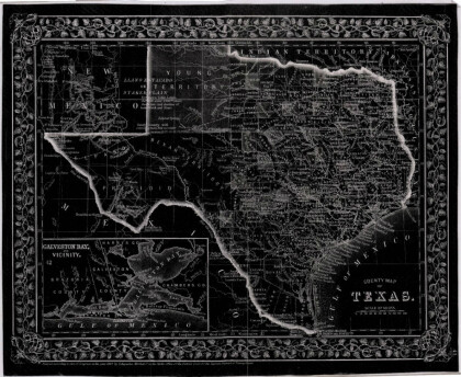
County Map of Texas

This is a county map of Texas represented in black, white and ...

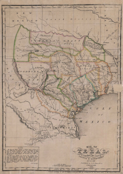
Texas: Containing the Latest Grants and Discoveries

Map of Texas containing the latest grants and discoveries in ...

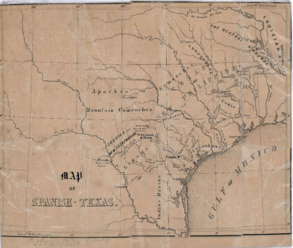
Map of Spanish-Texas

Map illustrates the location of rivers, cities and Indian ...

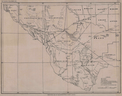
Structural Map of Trans-Pecos Texas

Map of the Trans-Pecos, Texas area; Outlines and lines are shown ...

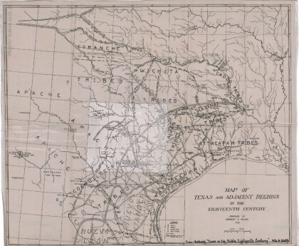
Map of Texas and Adjacent Regions in the Eighteenth Century

Map of Texas and the adjacent regions illustrating missions, ...

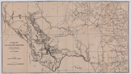
Military Map of the Rio Grande Frontier

Military map of the Rio Grande frontier prepared from original ...

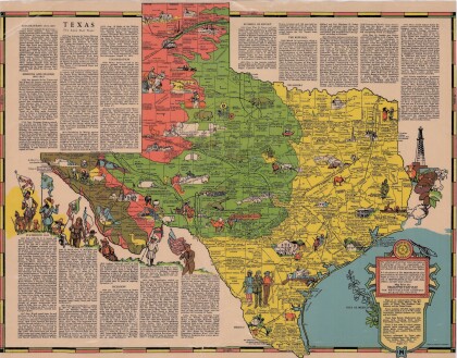
Texas the Lone Star State

Picturesque historical map of Texas with information on ...

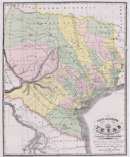
General Austin's Map of Texas with Parts of the Adjoining States

Colorful map of Texas highlighting the borders between states ...

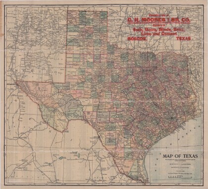
Map of Texas

This map of Texas includes colored divisions of counties with ...

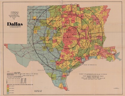
Dallas: Industrial and Distribution Center of the Southwest

Colorful market and distribution map of the Southwest - Texas, ...

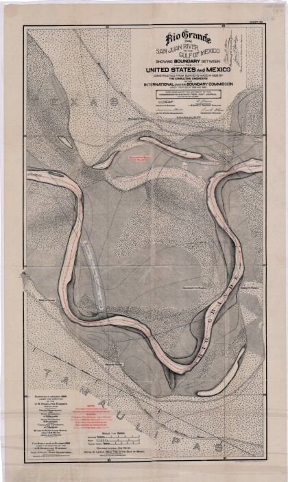
Rio Grande from San Juan River to the Gulf of Mexico

Map illustrates the Rio Grande from the San Juan River to the ...

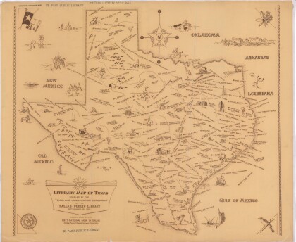
Literary Map of Texas

Illustrative literary map of Texas shows book titles and author ...

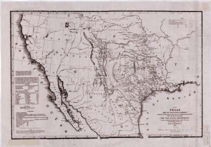
Texas and the Countries Adjacent

Map of Texas (1844) and its adjacent countries includes ...

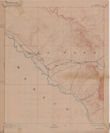
Map of Fort Hancock, Texas circa 1915

Topographical map indicating the location of Fort Hancock and ...

Reconnaissance Map: Texas Marfa

This topographic USGS map sheet indicates Marfa's surrounding ...

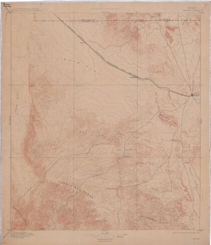
Topography: the University of Texas Mineral Survey

Topographic map of the Van Horn quadrangle in Texas. Indicates ...

Map of Texas and Part of New Mexico

Map of Texas and part of New Mexico compiled chiefly for ...

J. De Cordova's State of Texas

This geographical map of Texas was compiled from the records of ...
Texas

This Texas map illustrates county boundaries, railroad lines, ...

home.search_collection