Rick Meza Photographs

Rick Meza Photographs

Rick Meza Photographs

Rick Meza Photographs

Rick Meza Photographs

Rick Meza Photographs

Rick Meza Photographs

Rick Meza Photographs

Rick Meza Photographs

Rick Meza Photographs

Rick Meza Photographs

Rick Meza Photographs

Rick Meza Photographs

Rick Meza Photographs

Rick Meza Photographs

Rick Meza Photographs

Rick Meza Photographs

Rick Meza Photographs

Rick Meza Photographs

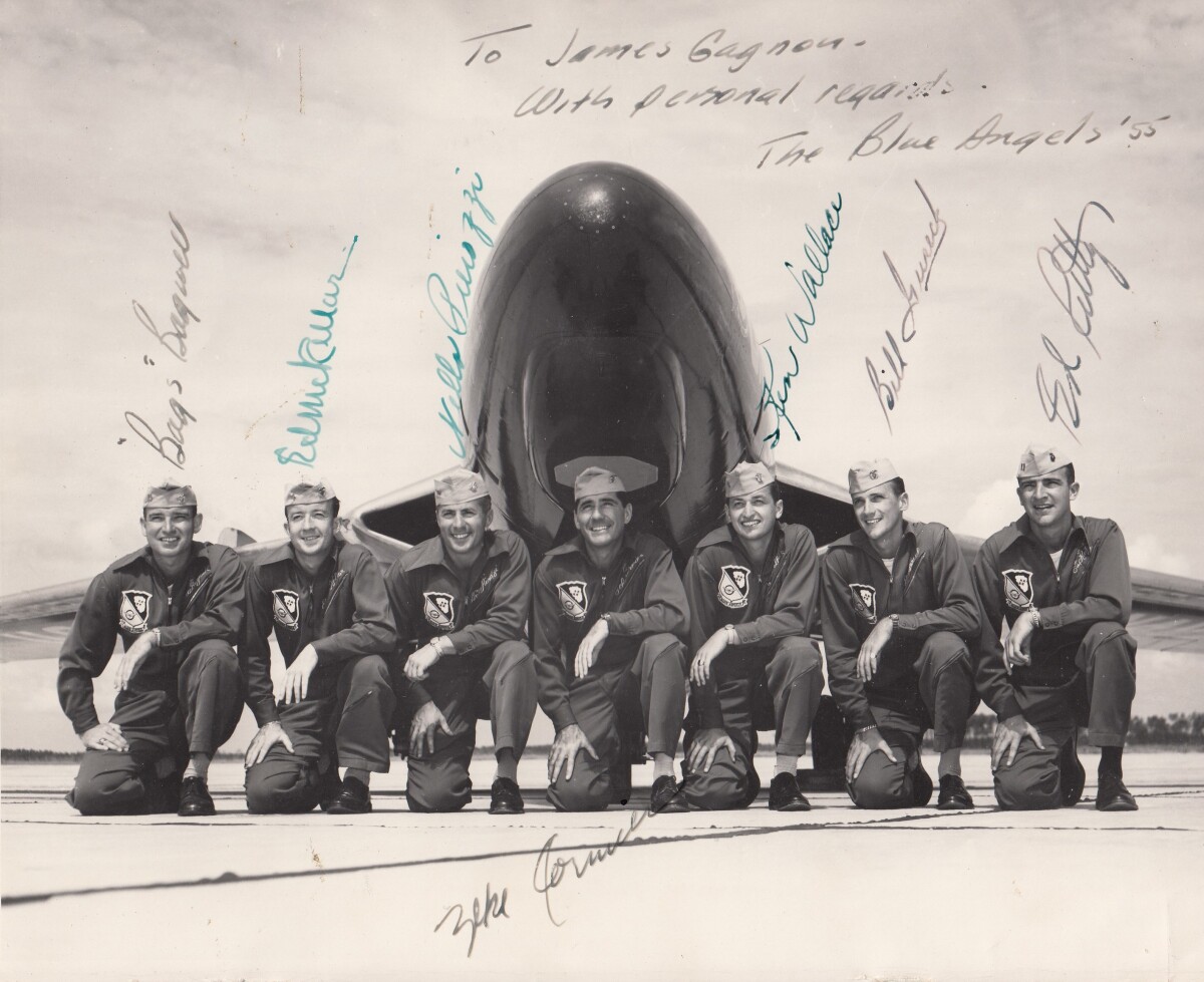
Blue Angels - 1955

Blue Angels taken 09-12-55 ---location Pensacola, Florida. Blue Angels Flight Team. Left to right---LT. Bruce Bagwell, LT. CDT. McKeller, LT. Nello Pierozzi, CDR. Keke Cormier, LTJG. Ken Wallace, LSTJG. Bill Gurek, and CAPT. "Root" Ruddy.

Area: Out of Area / Out of Area

Source: Ricardo R.Meza

Uploaded by: El Paso Museum of History

Comments

Add a comment
Thank you for your comment

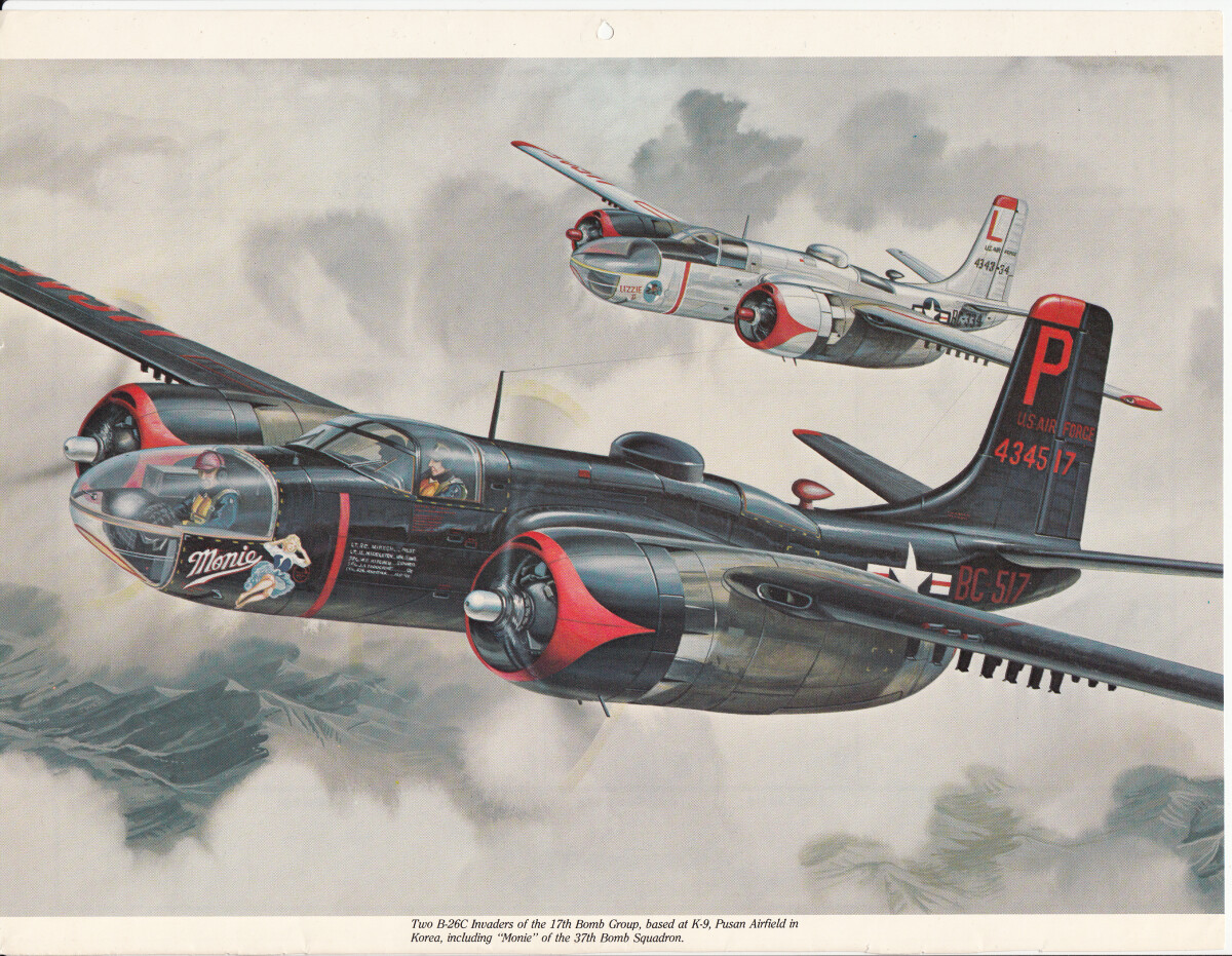
B - 26 Aircraft

Drawing of a B-26 use in World War II and Korean War.

Area: Northeast / Biggs Field

Source: Rick Meza

Uploaded by: El Paso Museum of History

Comments

Add a comment
Thank you for your comment

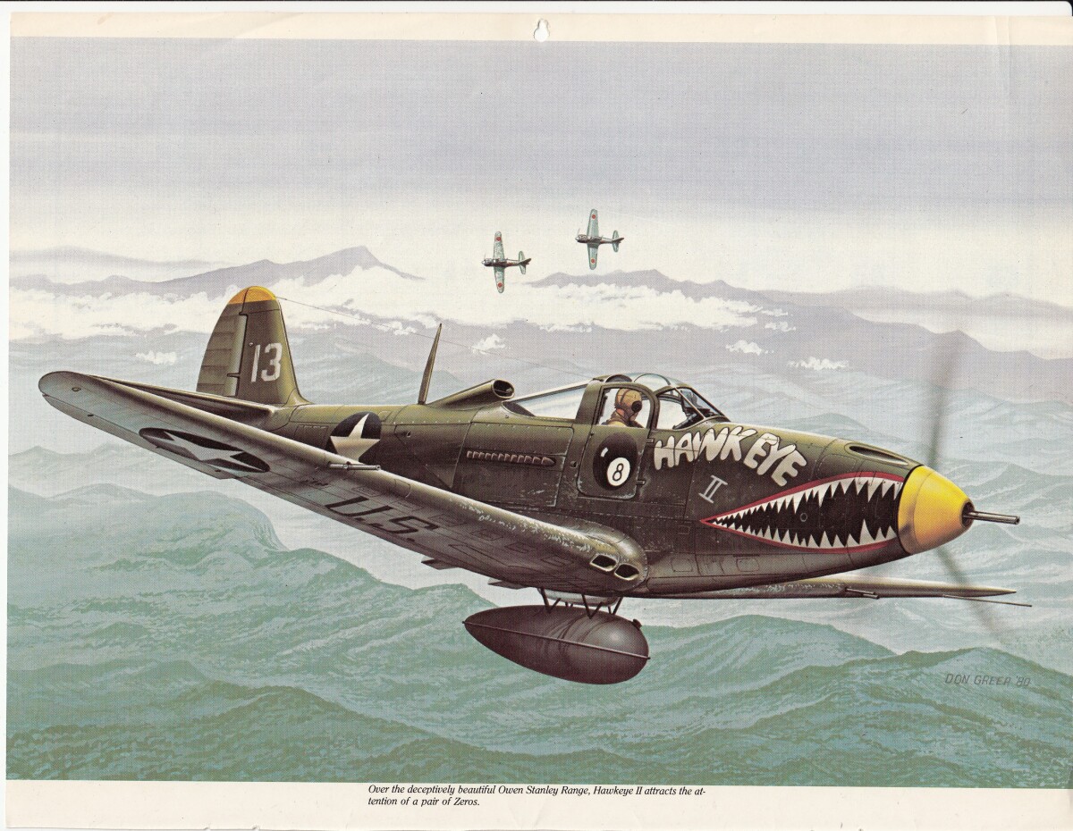
Hawkeye II - P - 39

P - 39 in action between 1940 -1949. Favored of the Soviet Union and United States.

Area: Northeast / Biggs Field

Source: Rick Meza

Uploaded by: El Paso Museum of History

Comments

Add a comment
Thank you for your comment

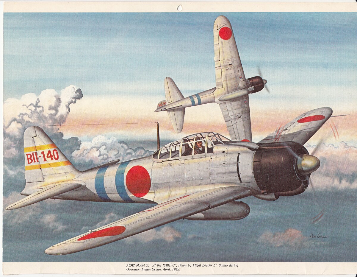
Zero

Japanese Zero during 1939 - 1945. Best Japanese fighter plane produced by Japan. It was known for its speed and maneuverability during the first part of World War II.

Area: Out of Area / Out of Area

Source: Rick Meza

Uploaded by: El Paso Museum of History

Comments

Add a comment
Thank you for your comment

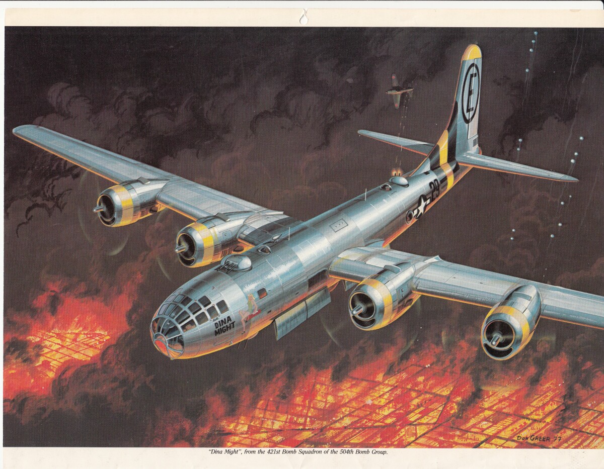
B - 29 Super Fortress

B - 29 Super Fortress during a bomb run over a Japanese city about 1945.

Area: Northeast / Biggs Field

Source: Rick Meza

Uploaded by: El Paso Museum of History

Comments

Add a comment
Thank you for your comment

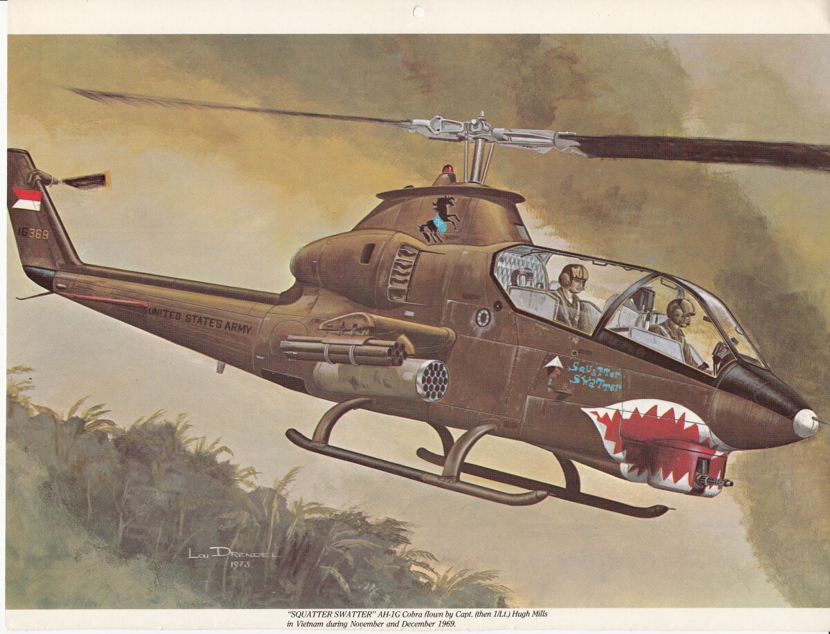
AH-IG Cobra

AH-IG Cobra flown in Vietnam during WWII 1963-1972.

Area: Northeast / Biggs Field

Source: Rick Meza

Uploaded by: El Paso Museum of History

Comments

Add a comment
Thank you for your comment

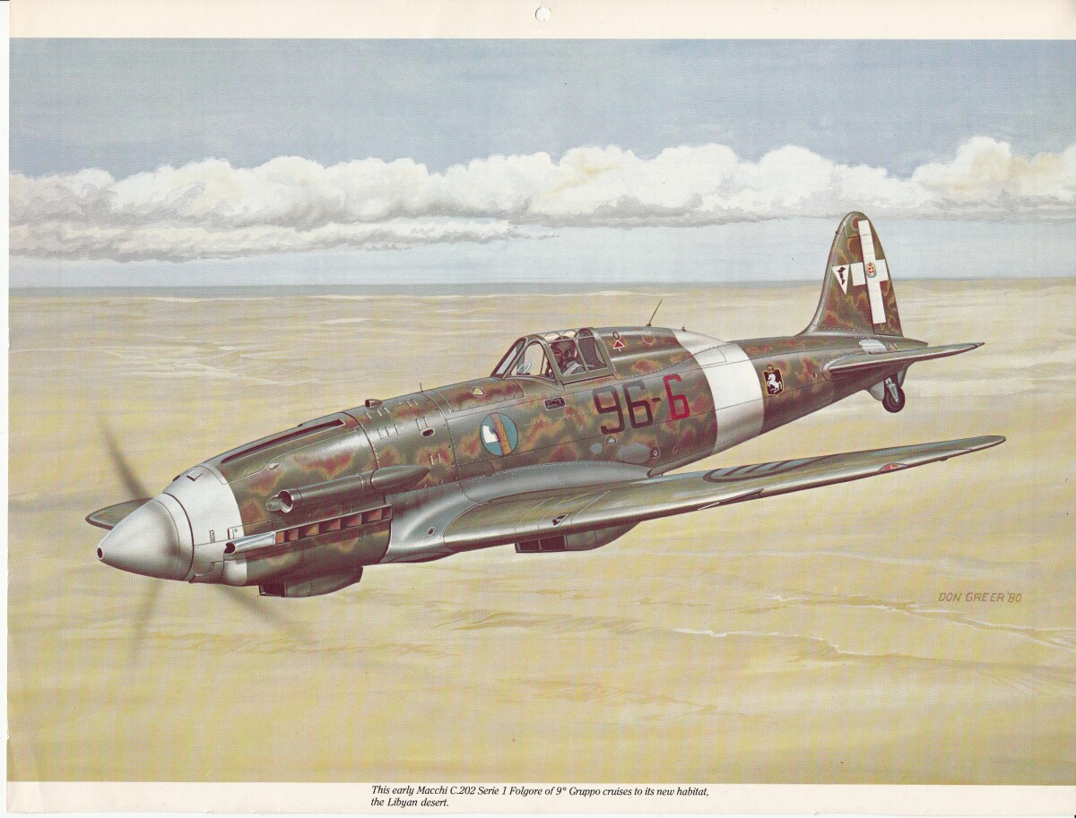
Foreign Plane Italian Fighter Plane

Flying in the Libyan Dessert.

Area: Northeast / Biggs Field

Source: Rick Meza

Uploaded by: El Paso Museum of History

Comments

Add a comment
Thank you for your comment

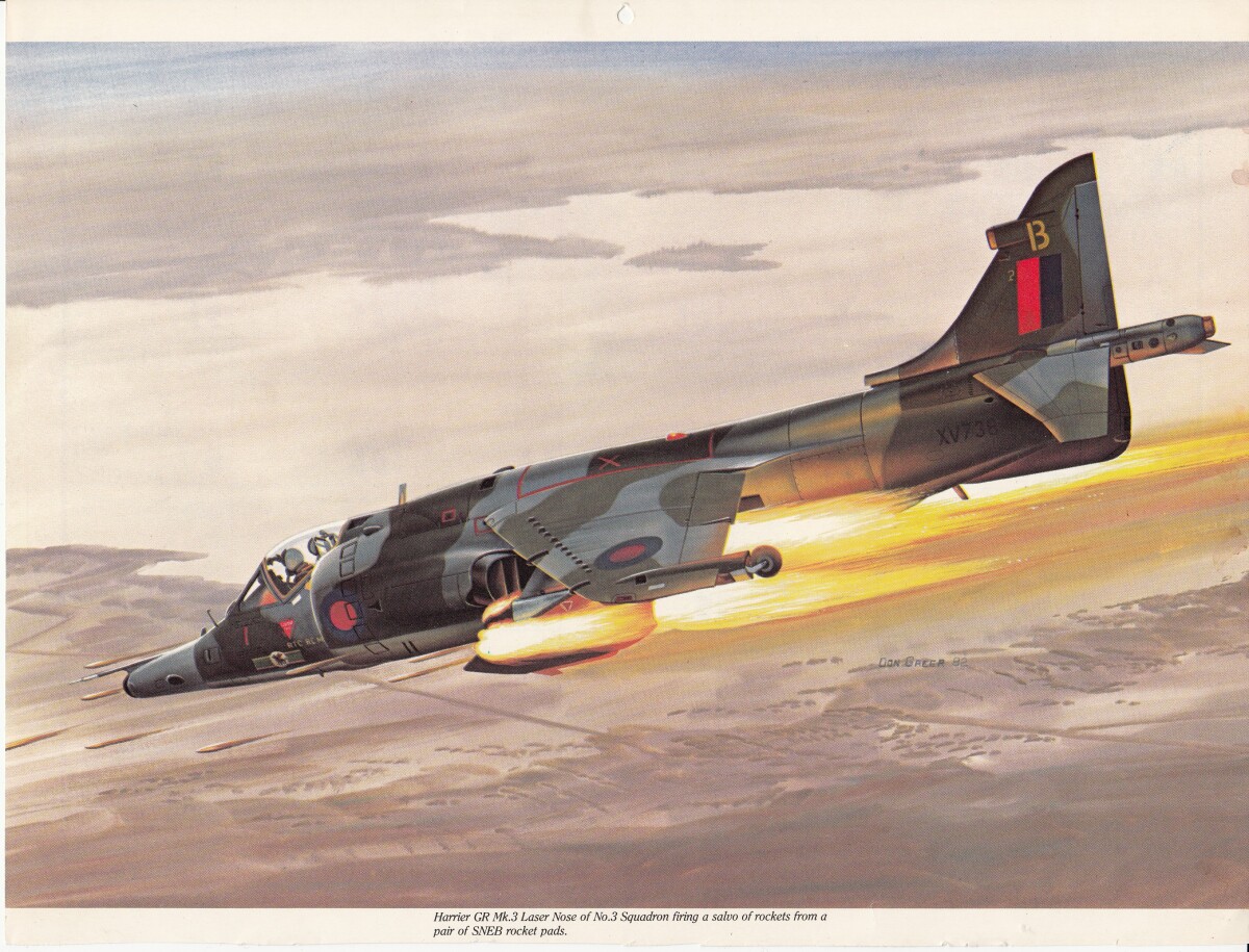
Harrier Jet, vertical take off landing

Originally developed by the British Air Force later adopted by the United States Marine Corps.

Area: Out of Area / Out of Area

Source: Rick Meza

Uploaded by: El Paso Museum of History

Comments

Add a comment
Thank you for your comment

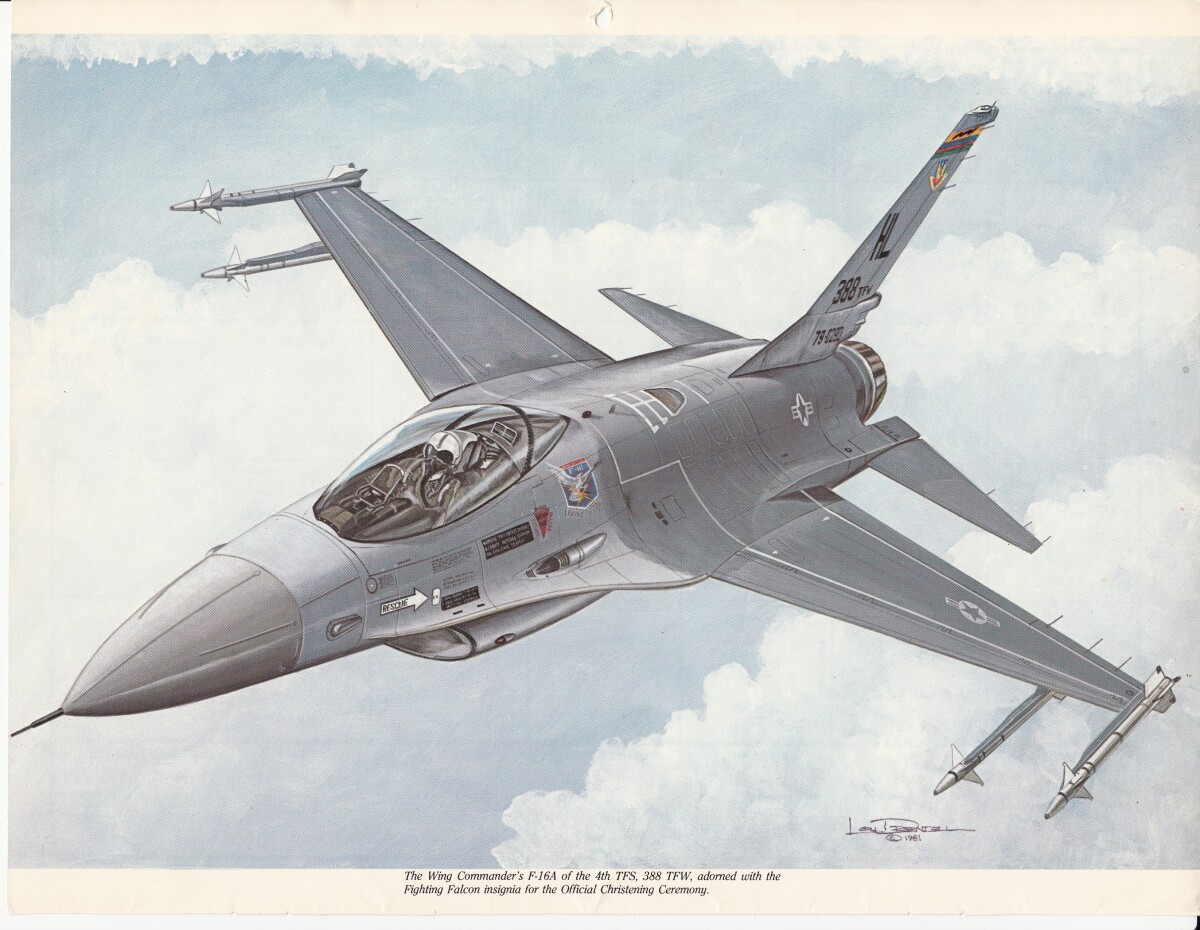
U.S. F-16A

U.S. F-16A aircraft from the Cold War Era.

Area: Out of Area / Out of Area

Source: Rick Meza

Uploaded by: El Paso Museum of History

Comments

Add a comment
Thank you for your comment

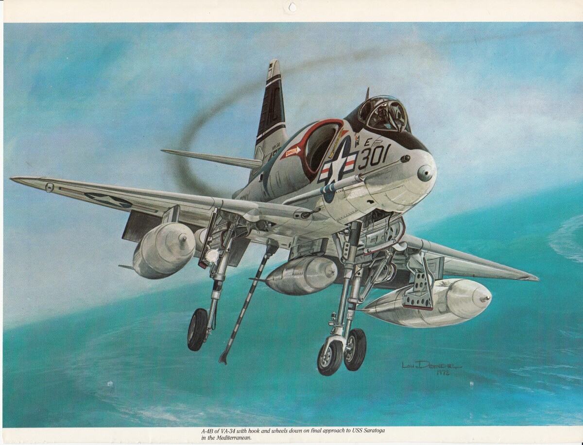
United States Navy A-4B

Cold War aircraft used for carrier operations throughout the world.

Area: Out of Area / Out of Area

Source: Rick Meza

Uploaded by: El Paso Museum of History

Comments

Add a comment
Thank you for your comment

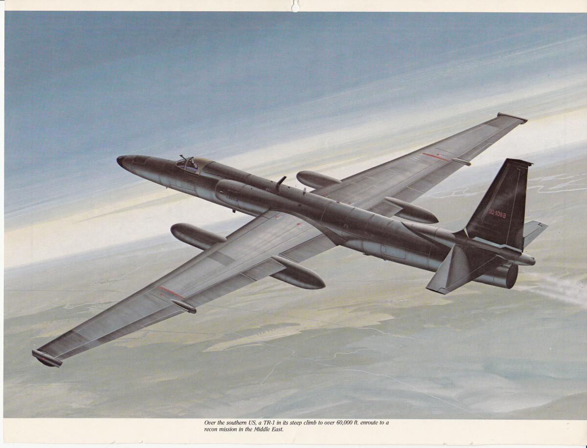
TR-1 aircraft

One of several places used to spy on enemies throughout the Cold War Era.

Area: Out of Area / Out of Area

Source: Rick Meza

Uploaded by: El Paso Museum of History

Comments

Add a comment
Thank you for your comment

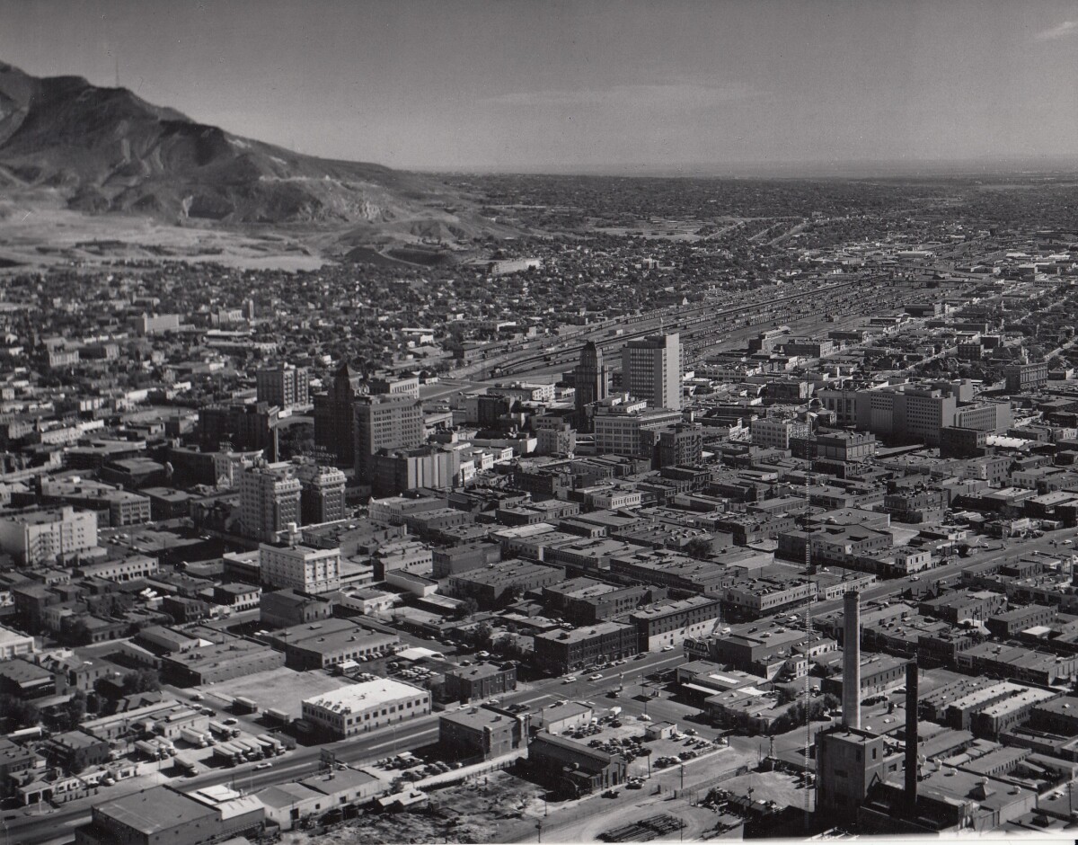
Downtown El Paso 1959

Area photograph of Downtown El Paso in 1959. Bassett Tower, the Plaza Hotel, the Camino Real (before the "tower" section was added), and the Haymon Krupp building (Justin Boot Factory) are all visible. This shot was taken before the land was cleared for interstate 10 - the railroad tracks follow approximately where the highway was built.

Area: Central / Downtown

Source: Rick Meza

Uploaded by: El Paso Museum of History

Comments

Add a comment
Thank you for your comment

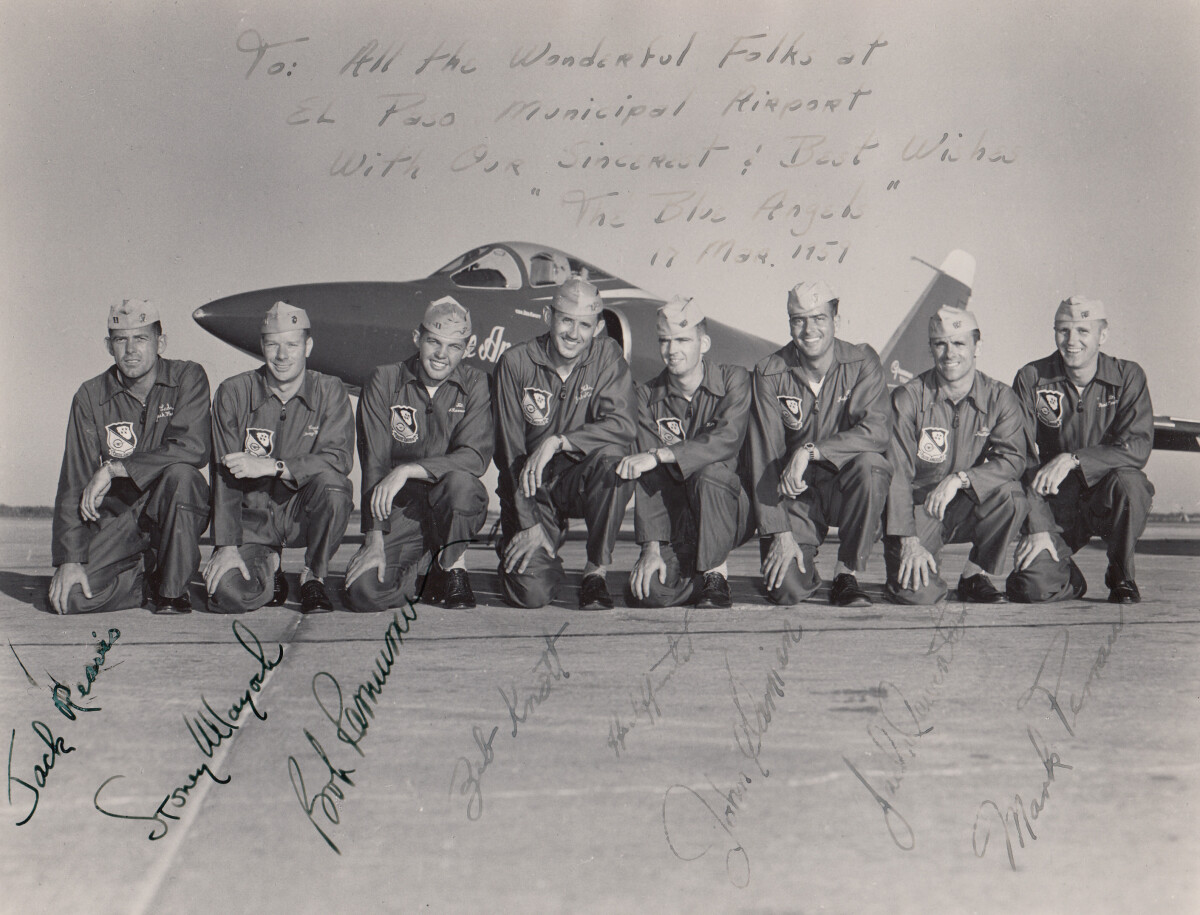
Blue Angeles - 1951

Blue Angels in the year 1951 at the El Paso Municipal Airport.

Area: Eastside / El Paso Int'l Airport

Source: Ricardo R. Meza

Uploaded by: El Paso Museum of History

Comments

Add a comment
Thank you for your comment

El Paso Int'l Airport

El Paso International Airport during the period 1950 - 1959. Image taken from a post card.

Area: Eastside / El Paso Int'l Airport

Source: Ricardo R. Meza

Uploaded by: El Paso Museum of History

Comments

Add a comment
Thank you for your comment

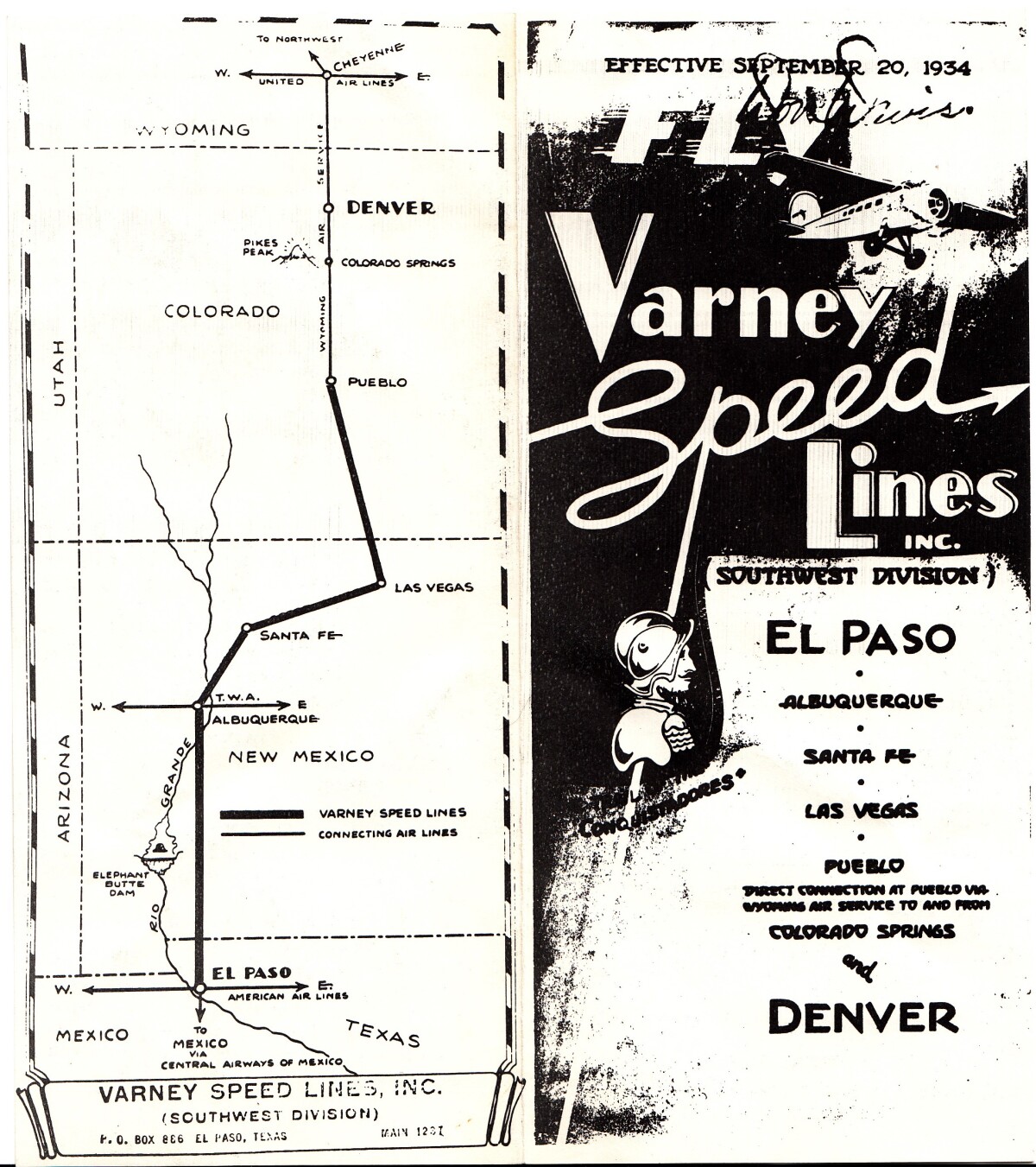
Varney Speed Lines, Inc.

Image taken from a Varney Speed Lines handout.

Area: Eastside / El Paso Int'l Airport

Source: Ricardo R. Meza

Uploaded by: El Paso Museum of History

Comments

Add a comment
Thank you for your comment

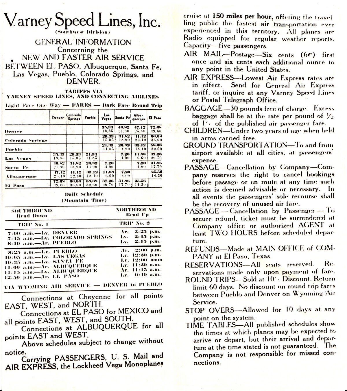
Varney Speed Lines, Inc.

Varney Speed Lines, Inc. Handout - 1930 - 1939.

Area: Eastside / El Paso Int'l Airport

Source: Ricardo R. Meza

Uploaded by: El Paso Museum of History

Comments

Add a comment
Thank you for your comment

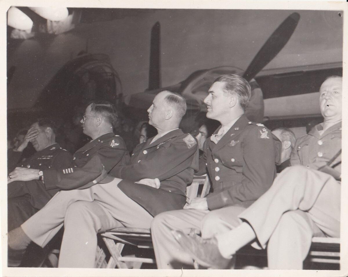
Biggs Field - " Shot From The Sky" - 1945

Biggs Field - "Shot From the Sky" - Feb 15,1945. Briefing for the movie " Shot From The Sky".

Area: Northeast / Biggs Field

Source: Ricardo R. Meza

Uploaded by: El Paso Museum of History

Comments

Add a comment
Thank you for your comment

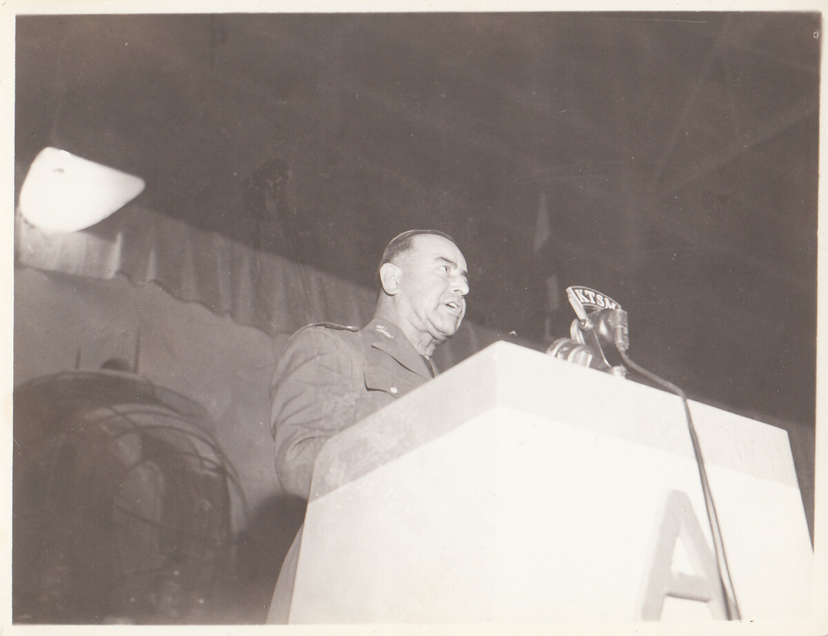
Shot From The Sky - 1945

Shot From The Sky - 1945. Briefing for the movie "Shot From The Sky".

Area: Northeast / Biggs Field

Source: Ricardo R. Meza

Uploaded by: El Paso Museum of History

Comments

Add a comment
Thank you for your comment

Shot From The Sky - 1945

Location - Biggs Field - briefing for the movie " Shot From The Sky". The year was 1945 at Biggs Field.

Area: Northeast / Biggs Field

Source: Ricardo R. Meza

Uploaded by: El Paso Museum of History

Comments

Add a comment
Thank you for your comment

Report this entry

Choose the most important reason for this report

Your name

Your email address

Optional detail

Thank you for your report

More from the same community-collection

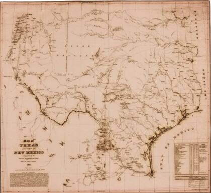
Texas and Part of New Mexico

Area and topography of Texas and part of New Mexico in 1857; ...

New Mexico, Texas; Chihuahua, Mexico 1861-1865

Map of the borders between New Mexico, Texas and Chihuahua, ...

Map No. 1 from Fort Smith to the Rio Grande

Map of the route near the 35th parallel. Part of the ...

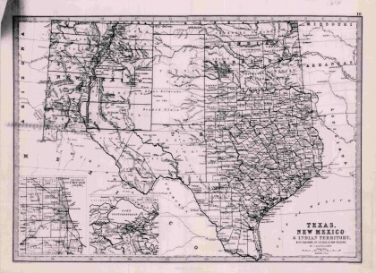
Texas, New Mexico, and Indian Territory

Map of Texas counties and New Mexico showing Indian Territories ...

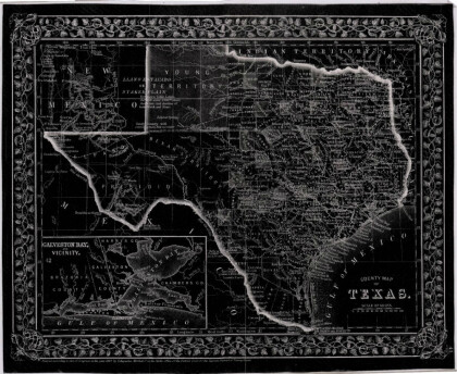
County Map of Texas

This is a county map of Texas represented in black, white and ...

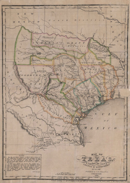
Texas: Containing the Latest Grants and Discoveries

Map of Texas containing the latest grants and discoveries in ...

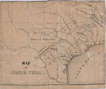
Map of Spanish-Texas

Map illustrates the location of rivers, cities and Indian ...

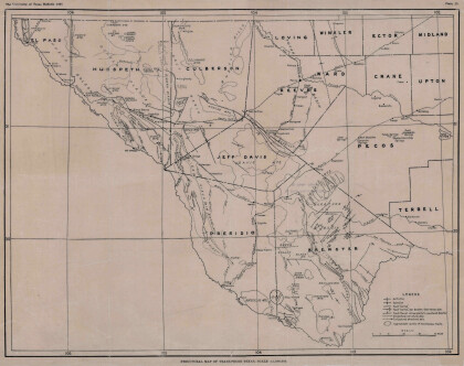
Structural Map of Trans-Pecos Texas

Map of the Trans-Pecos, Texas area; Outlines and lines are shown ...

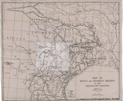
Map of Texas and Adjacent Regions in the Eighteenth Century

Map of Texas and the adjacent regions illustrating missions, ...

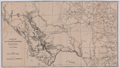
Military Map of the Rio Grande Frontier

Military map of the Rio Grande frontier prepared from original ...

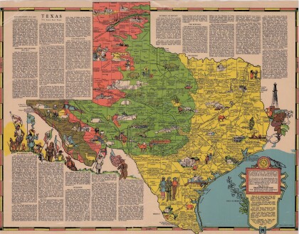
Texas the Lone Star State

Picturesque historical map of Texas with information on ...

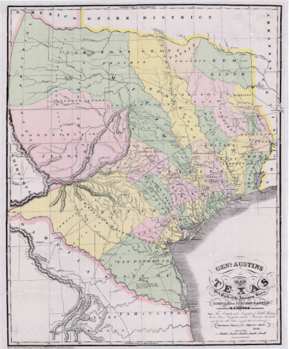
General Austin's Map of Texas with Parts of the Adjoining States

Colorful map of Texas highlighting the borders between states ...

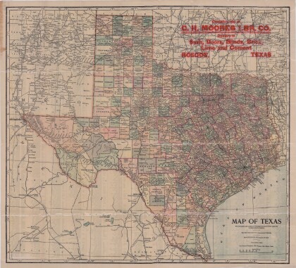
Map of Texas

This map of Texas includes colored divisions of counties with ...

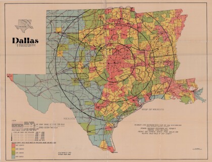
Dallas: Industrial and Distribution Center of the Southwest

Colorful market and distribution map of the Southwest - Texas, ...

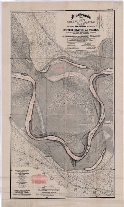
Rio Grande from San Juan River to the Gulf of Mexico

Map illustrates the Rio Grande from the San Juan River to the ...

Literary Map of Texas

Illustrative literary map of Texas shows book titles and author ...

Texas and the Countries Adjacent

Map of Texas (1844) and its adjacent countries includes ...

Map of Fort Hancock, Texas circa 1915

Topographical map indicating the location of Fort Hancock and ...

Reconnaissance Map: Texas Marfa

This topographic USGS map sheet indicates Marfa's surrounding ...

Topography: the University of Texas Mineral Survey

Topographic map of the Van Horn quadrangle in Texas. Indicates ...

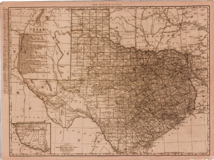
Map of Texas and Part of New Mexico

Map of Texas and part of New Mexico compiled chiefly for ...

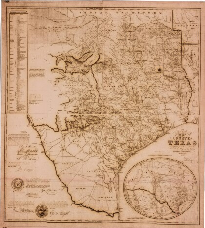
J. De Cordova's State of Texas

This geographical map of Texas was compiled from the records of ...
Texas

This Texas map illustrates county boundaries, railroad lines, ...
home.search_collection