IBWC VIII

IBWC VIII

IBWC VIII

IBWC VIII

IBWC VIII

IBWC VIII

IBWC VIII

IBWC VIII

IBWC VIII

IBWC VIII

IBWC VIII

IBWC VIII

IBWC VIII

IBWC VIII

IBWC VIII

IBWC VIII

IBWC VIII

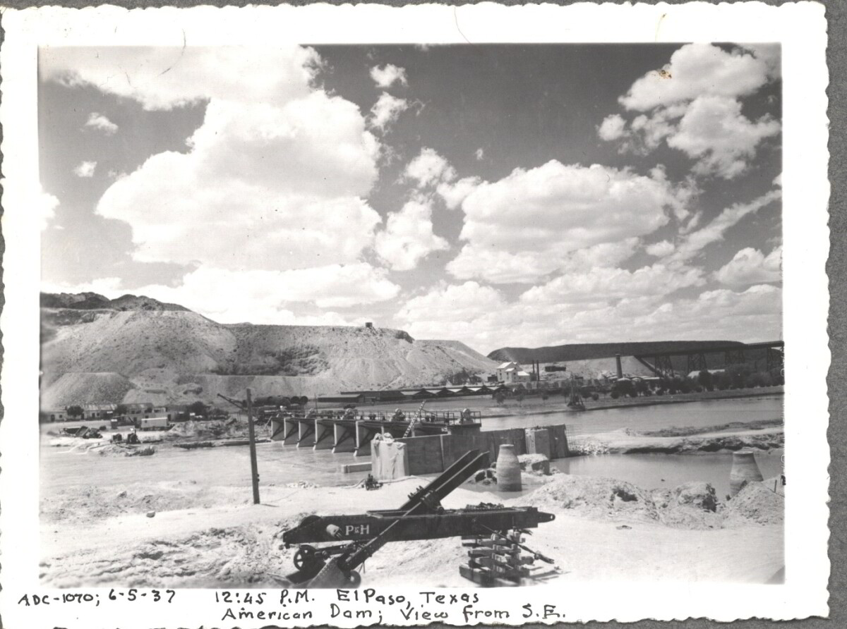
American Dam 1937

Note: 6-5-37, 12:45 pm, El Paso, Texas. American Dam; View from S.E. For centuries the Rio Grande River has been used as a source of irrigation water for agriculture in the El Paso – Juarez area. In 1889 the governments of the United States and Mexico established the International Boundary Commission (IBC), in 1944 renamed the International Boundary and Water Commission (IBWC). One of its early actions was to discuss delivery of Rio Grande water to Mexico. In 1906, the two countries agreed to deliver 60,000 acre-feet of water annually to Mexico at the main irrigation Canal in Ciudad Juarez, known as Acequia Madre. The canal's mouth is two miles downstream from the international border. The remainder of the water would be used by American farmers in the ninety-mile-long El Paso valley. In times of drought both Mexican and American shares would be reduced on a percentage basis. The system did not provide a way for the United States to allot Mexico its rightful portion and keep the rest. As a result, Mexico took its share first and channeled the remainder into the Franklin Canal for the farms in the El Paso valley. According to some American estimates this permitted Mexico to siphon off up to three times its portion of irrigation water. Responding in 1935, Congress authorized two diversionary projects, the American Dam and the American Canal. The dam caught the water in New Mexico short of the international border, measured Mexico's share and allowed it to continue to the Acequia Madre, and diverted everything else into the American Canal, a two-mile feeder leading to the Franklin Canal. The American Canal parallels West Paisano Drive (US Highway 85) and the Burlington Northern Santa Fe Railroad track. The project has proved a successful solution to the problem of dividing the waters. Sources: http://www.tshaonline.org/handbook/online/articles/rua03 http://www.ibwc.gov/Files/EnvironmentalAssessment.pdf

Area: Central / Smeltertown

Source: IBWC

Uploaded by: El Paso Museum of History

Comments

Add a comment
Thank you for your comment

American Dam 1937

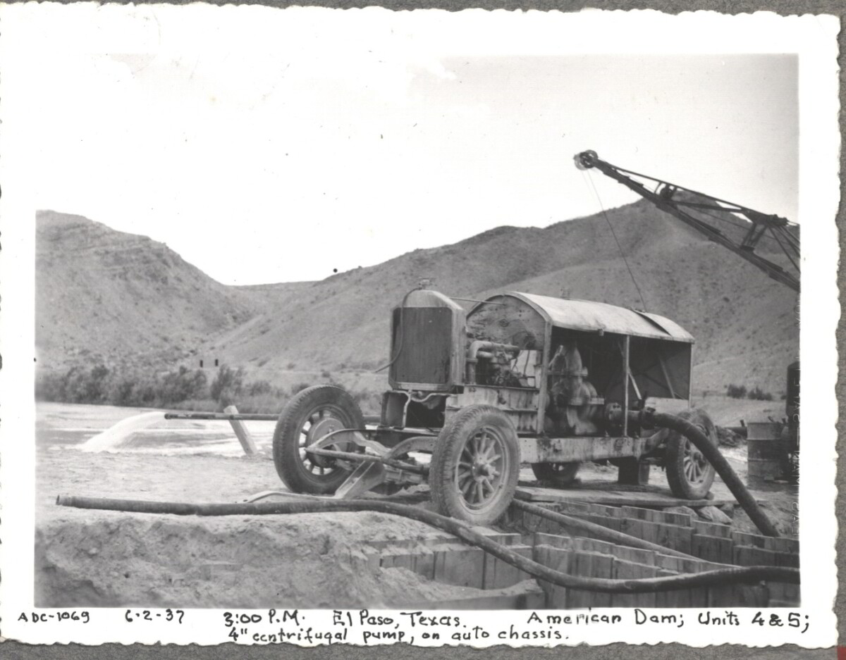
Note: 6-2-37, 3:00pm. El Paso, Texas American Dam; units 4&5; 4" centrifugal pump, on auto chassis. For centuries the Rio Grande River has been used as a source of irrigation water for agriculture in the El Paso – Juarez area. In 1889 the governments of the United States and Mexico established the International Boundary Commission (IBC), in 1944 renamed the International Boundary and Water Commission (IBWC). One of its early actions was to discuss delivery of Rio Grande water to Mexico. In 1906, the two countries agreed to deliver 60,000 acre-feet of water annually to Mexico at the main irrigation Canal in Ciudad Juarez, known as Acequia Madre. The canal's mouth is two miles downstream from the international border. The remainder of the water would be used by American farmers in the ninety-mile-long El Paso valley. In times of drought both Mexican and American shares would be reduced on a percentage basis. The system did not provide a way for the United States to allot Mexico its rightful portion and keep the rest. As a result, Mexico took its share first and channeled the remainder into the Franklin Canal for the farms in the El Paso valley. According to some American estimates this permitted Mexico to siphon off up to three times its portion of irrigation water. Responding in 1935, Congress authorized two diversionary projects, the American Dam and the American Canal. The dam caught the water in New Mexico short of the international border, measured Mexico's share and allowed it to continue to the Acequia Madre, and diverted everything else into the American Canal, a two-mile feeder leading to the Franklin Canal. The American Canal parallels West Paisano Drive (US Highway 85) and the Burlington Northern Santa Fe Railroad track. The project has proved a successful solution to the problem of dividing the waters. Sources: http://www.tshaonline.org/handbook/online/articles/rua03 http://www.ibwc.gov/Files/EnvironmentalAssessment.pdf

Area: Central / Smeltertown

Source: IBWC

Uploaded by: El Paso Museum of History

Comments

Add a comment
Thank you for your comment

American Dam 1937

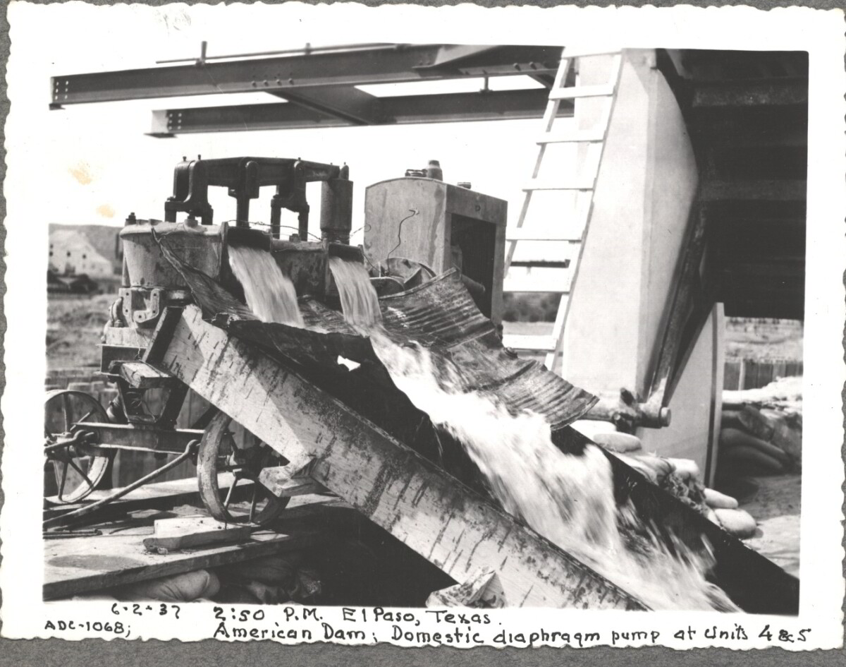
6-2-37, 2:50pm, El Paso, Texas. American Dam; Domestic diaphraqm pump at units 4&5 For centuries the Rio Grande River has been used as a source of irrigation water for agriculture in the El Paso – Juarez area. In 1889 the governments of the United States and Mexico established the International Boundary Commission (IBC), in 1944 renamed the International Boundary and Water Commission (IBWC). One of its early actions was to discuss delivery of Rio Grande water to Mexico. In 1906, the two countries agreed to deliver 60,000 acre-feet of water annually to Mexico at the main irrigation Canal in Ciudad Juarez, known as Acequia Madre. The canal's mouth is two miles downstream from the international border. The remainder of the water would be used by American farmers in the ninety-mile-long El Paso valley. In times of drought both Mexican and American shares would be reduced on a percentage basis. The system did not provide a way for the United States to allot Mexico its rightful portion and keep the rest. As a result, Mexico took its share first and channeled the remainder into the Franklin Canal for the farms in the El Paso valley. According to some American estimates this permitted Mexico to siphon off up to three times its portion of irrigation water. Responding in 1935, Congress authorized two diversionary projects, the American Dam and the American Canal. The dam caught the water in New Mexico short of the international border, measured Mexico's share and allowed it to continue to the Acequia Madre, and diverted everything else into the American Canal, a two-mile feeder leading to the Franklin Canal. The American Canal parallels West Paisano Drive (US Highway 85) and the Burlington Northern Santa Fe Railroad track. The project has proved a successful solution to the problem of dividing the waters. Sources: http://www.tshaonline.org/handbook/online/articles/rua03 http://www.ibwc.gov/Files/EnvironmentalAssessment.pdf

Area: Central / Smeltertown

Source: IBWC

Uploaded by: El Paso Museum of History

Comments

Add a comment
Thank you for your comment

American Canal

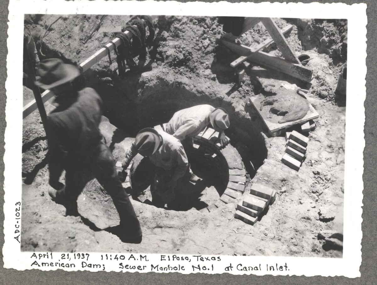
April 19 1937, American Dam sewer manhole construction at No.1 canal inlet.

Area: Central / Smeltertown

Source: IBWC

Uploaded by: El Paso Museum of History

Comments

Add a comment
Thank you for your comment

American Canal

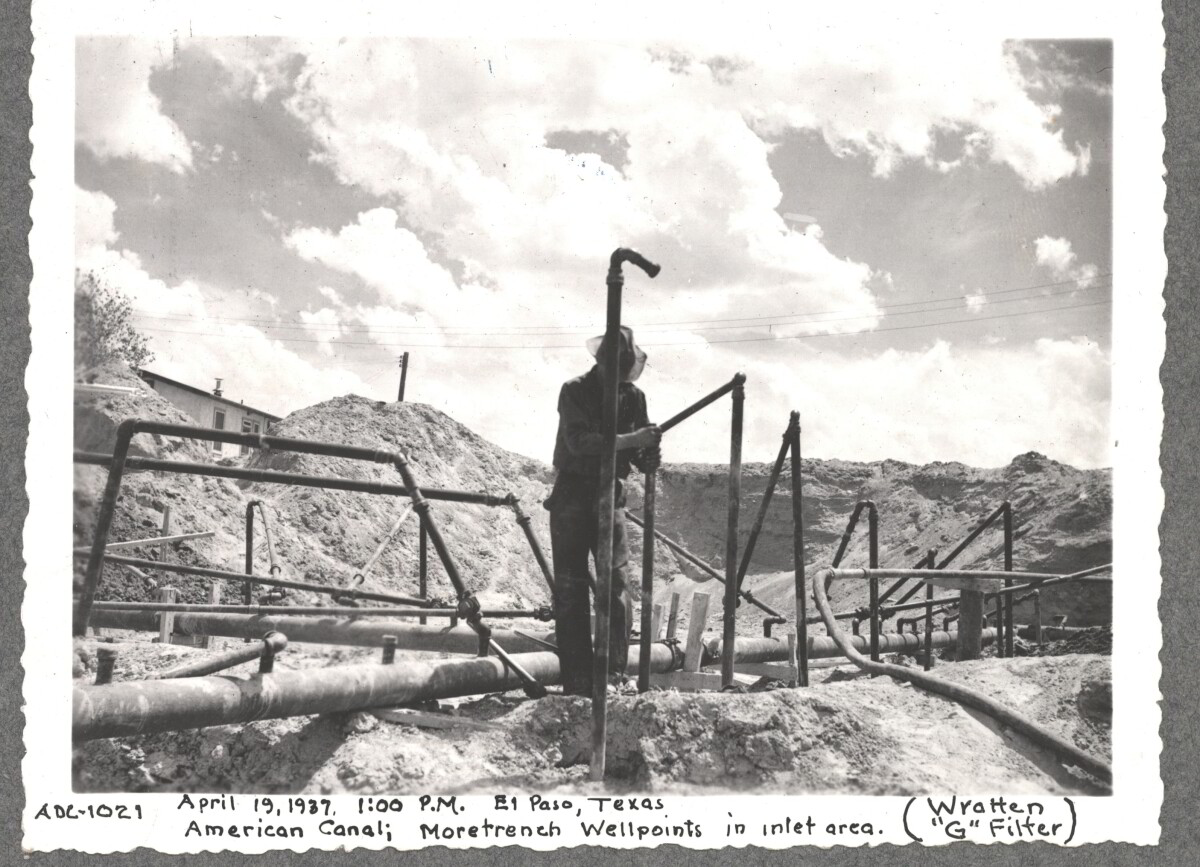
April 19 1937, More Trench at well point, inlet area American Canal

Area: Central / Smeltertown

Source: IBWC

Uploaded by: El Paso Museum of History

Comments

Add a comment
Thank you for your comment

Internatinal Boundary & Water Commission

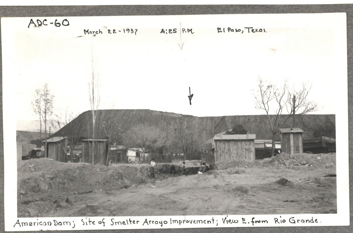
American Dam, site of smelter from Arroyo improvement; view E. of Rio Grande. March 22, 1937 at 4:25 p.m. El paso, Texas

Area: Central / Smeltertown

Source: IBWC

Uploaded by: El Paso Museum of History

Comments

Add a comment
Thank you for your comment

Internatinal Boundary & Water Commission

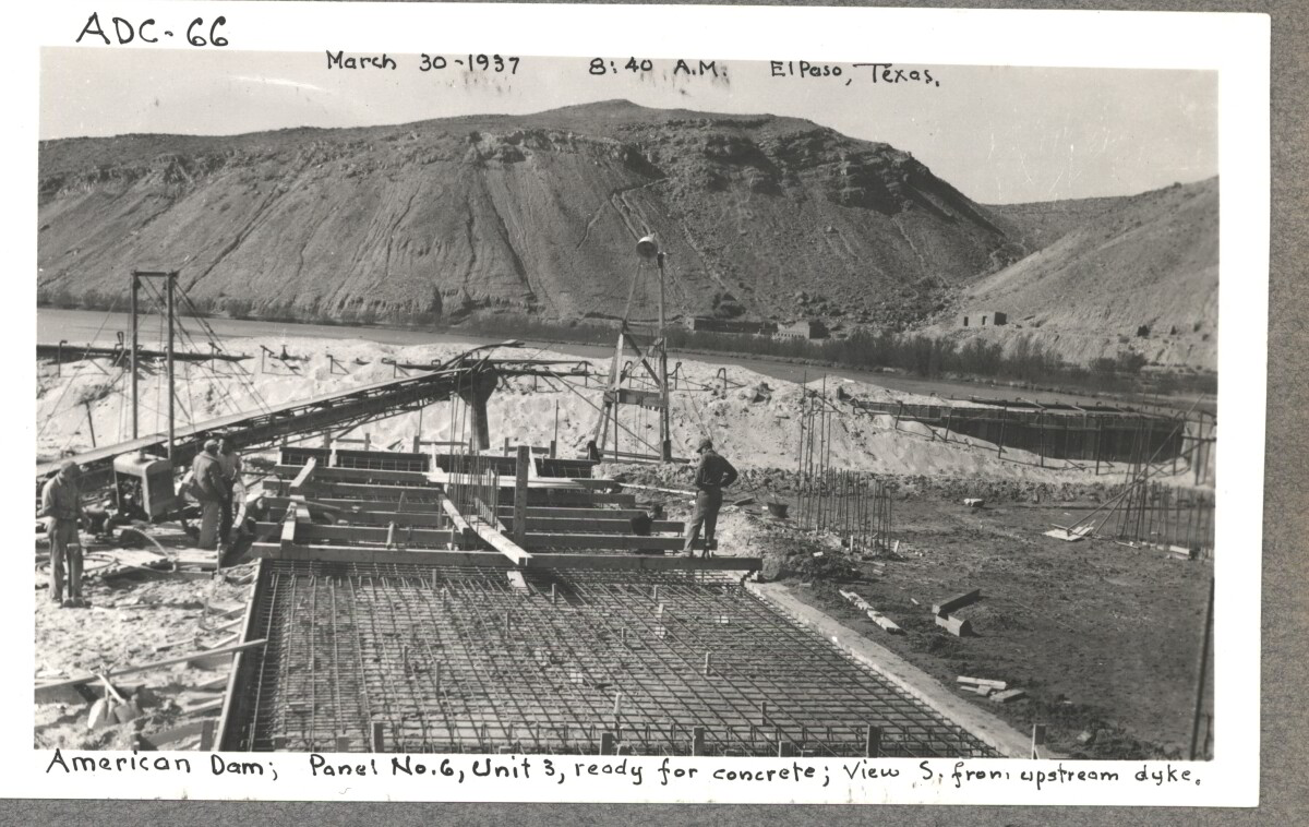
American Dam; panel No.6 , unit 3, ready for concrete view S. from , upstream dyke. March 30, 1937 at 8:40 a.m El paso, Texas.

Area: Central / Smeltertown

Source: IBWC

Uploaded by: El Paso Museum of History

Comments

Add a comment
Thank you for your comment

Internatinal Boundary & Water Commission

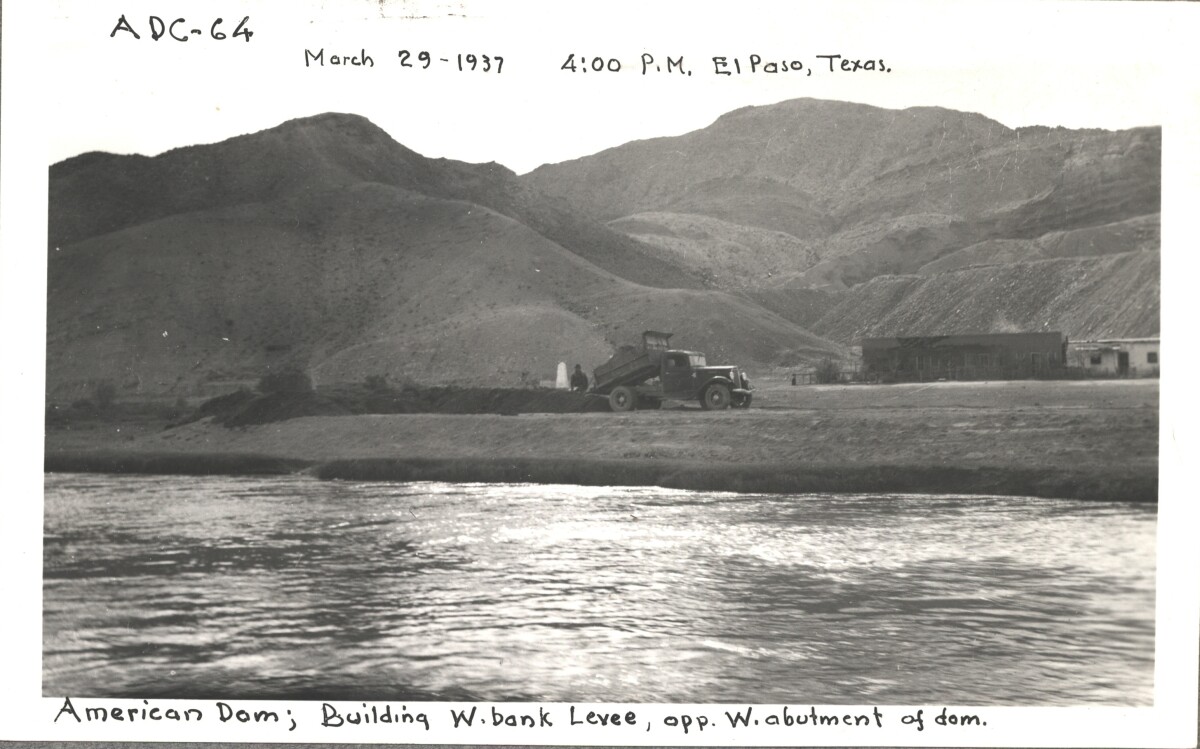
American Dam; building W. bank levee opp, W. abutment of Dom. March 29, 1937 at 4:00 p.m. El Paso, Texas.

Area: Central / Smeltertown

Source: IBWC

Uploaded by: El Paso Museum of History

Comments

Add a comment
Thank you for your comment

Internatinal Boundary & Water Commission

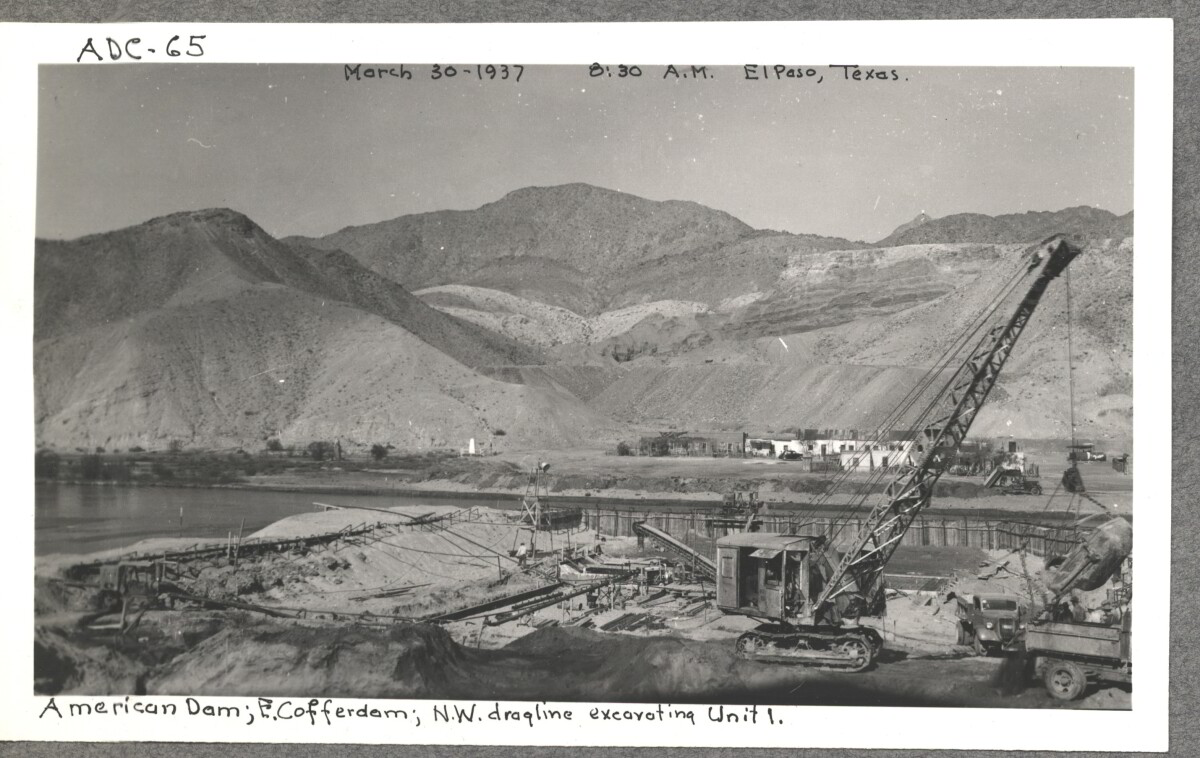
American Dam; E. cofferdam. N. W. draqline ex carting unit 1. March 30,1937 at 8:30 a.m. El paso, Texas.

Area: Central / Smeltertown

Source: IBWC

Uploaded by: El Paso Museum of History

Comments

Add a comment
Thank you for your comment

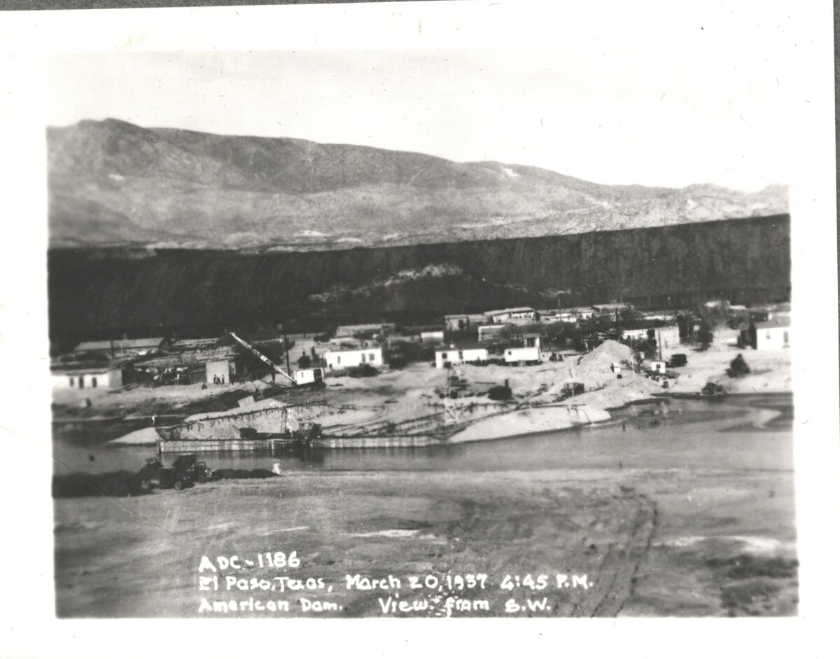
Internatinal Boundary & Water Commission

American Dam; view from S. W. El Paso, Texas March 20, 1937 at 4:45 p.m.

Area: Central / Smeltertown

Source: IBWC

Uploaded by: El Paso Museum of History

Comments

Add a comment
Thank you for your comment

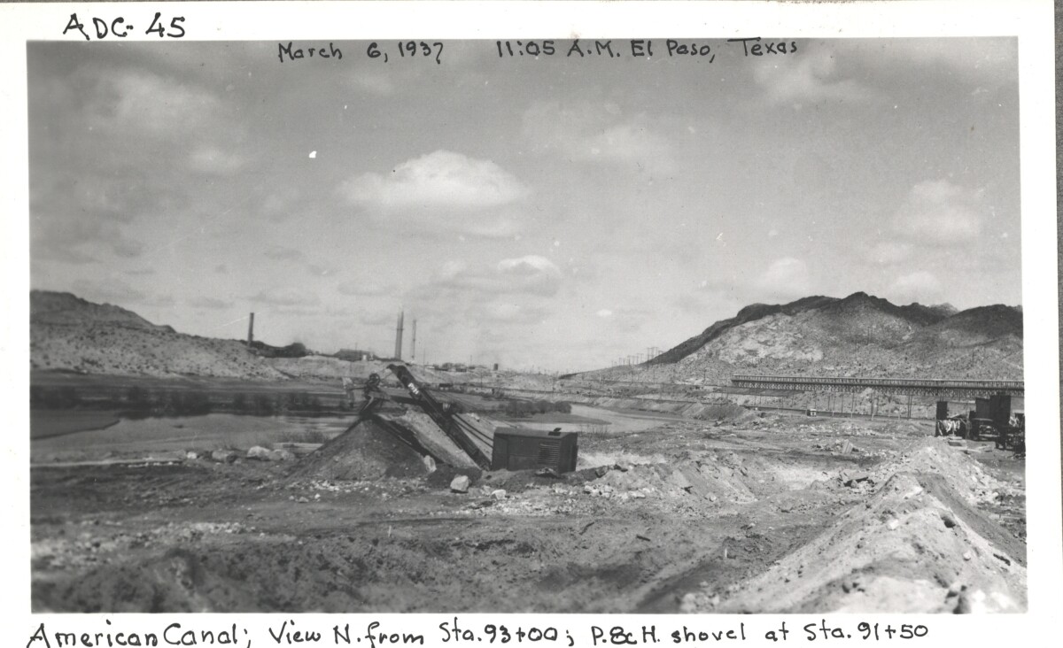
Internatinal Boundary & Water Commission

American canal; view N. from Sta. 93+00 ; p.8c H. shovel at Sta. 91+50

Area: Central / Smeltertown

Source: IBWC

Uploaded by: El Paso Museum of History

Comments

Add a comment
Thank you for your comment

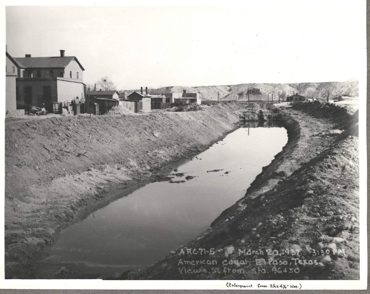
Internatinal Boundary & Water Commission

American Canal; El paso, Texas View S. Sta. 96+50. March 20, 1937 at 3:30p.m.

Source: IBWC

Uploaded by: El Paso Museum of History

Comments

Add a comment
Thank you for your comment

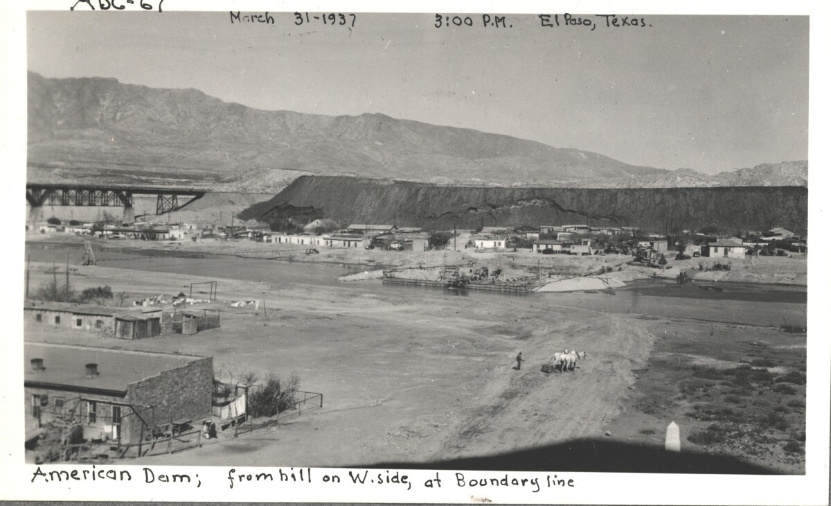
Internatinal Boundary & Water Commission - El Paso, Texas

American Dam; view from hill on west side, at boundary line. El Paso, Texas March 31,1937 El Paso, Texas at 3:00 p.m.

Area: Central / Smeltertown

Source: IBWC

Uploaded by: El Paso Museum of History

Comments

Add a comment
Thank you for your comment

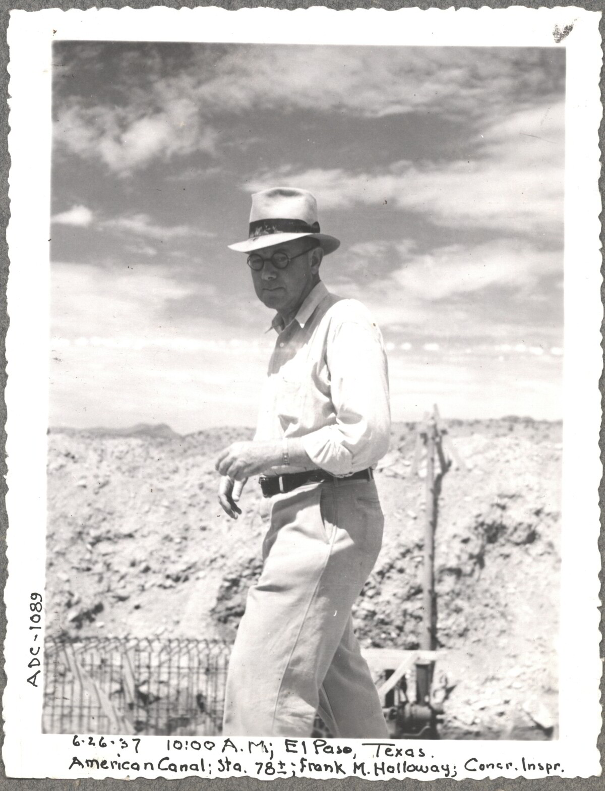
Construction of American Canal, 1937

Note: 6-26-37, 10:00am, El Paso, Texas. American Canal; Sta. 78; Frank M. Holloway, Cocr. Inspr. For centuries the Rio Grande River has been used as a source of irrigation water for agriculture in the El Paso – Juarez area. In 1889 the governments of the United States and Mexico established the International Boundary Commission (IBC), in 1944 renamed the International Boundary and Water Commission (IBWC). One of its early actions was to discuss delivery of Rio Grande water to Mexico. In 1906, the two countries agreed to deliver 60,000 acre-feet of water annually to Mexico at the main irrigation Canal in Ciudad Juarez, known as Acequia Madre. The canal's mouth is two miles downstream from the international border. The remainder of the water would be used by American farmers in the ninety-mile-long El Paso valley. In times of drought both Mexican and American shares would be reduced on a percentage basis. The system did not provide a way for the United States to allot Mexico its rightful portion and keep the rest. As a result, Mexico took its share first and channeled the remainder into the Franklin Canal for the farms in the El Paso valley. According to some American estimates this permitted Mexico to siphon off up to three times its portion of irrigation water. Responding in 1935, Congress authorized two diversionary projects, the American Dam and the American Canal. The dam caught the water in New Mexico short of the international border, measured Mexico's share and allowed it to continue to the Acequia Madre, and diverted everything else into the American Canal, a two-mile feeder leading to the Franklin Canal. The American Canal parallels West Paisano Drive (US Highway 85) and the Burlington Northern Santa Fe Railroad track. The project has proved a successful solution to the problem of dividing the waters. Sources: http://www.tshaonline.org/handbook/online/articles/rua03 http://www.ibwc.gov/Files/EnvironmentalAssessment.pdf

Area: Central / Smeltertown

Source: IBWC

Uploaded by: El Paso Museum of History

Comments

Add a comment
Thank you for your comment

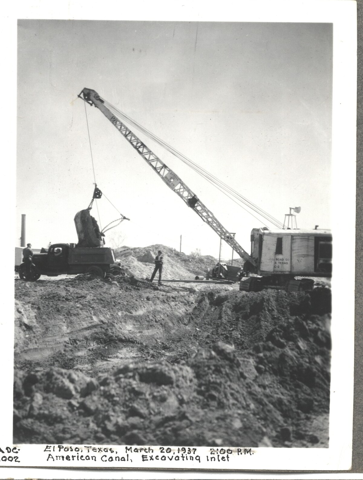
Internatinal Boundary & Water Commission

American Canal; Excavatina inlet; El Paso, Texas March 20, 1937 at 2:00 p.m.

Area: Central / Smeltertown

Source: IBWC

Uploaded by: El Paso Museum of History

Comments

Add a comment
Thank you for your comment

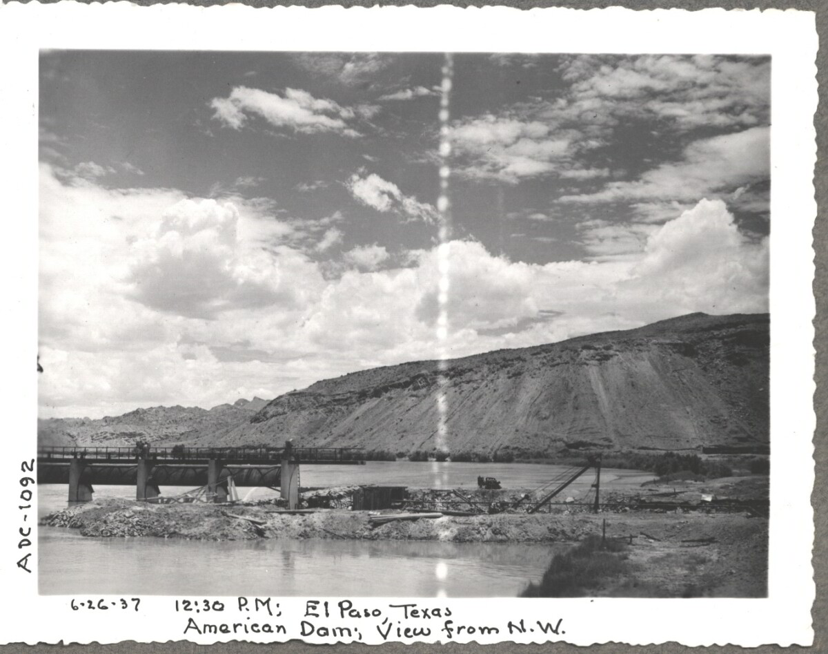
Construction of American Dam, 1937

Note: 6-26-37, 12:30 pm, El Paso Texas. American Dam, View from N.W. For centuries the Rio Grande River has been used as a source of irrigation water for agriculture in the El Paso – Juarez area. In 1889 the governments of the United States and Mexico established the International Boundary Commission (IBC), in 1944 renamed the International Boundary and Water Commission (IBWC). One of its early actions was to discuss delivery of Rio Grande water to Mexico. In 1906, the two countries agreed to deliver 60,000 acre-feet of water annually to Mexico at the main irrigation Canal in Ciudad Juarez, known as Acequia Madre. The canal's mouth is two miles downstream from the international border. The remainder of the water would be used by American farmers in the ninety-mile-long El Paso valley. In times of drought both Mexican and American shares would be reduced on a percentage basis. The system did not provide a way for the United States to allot Mexico its rightful portion and keep the rest. As a result, Mexico took its share first and channeled the remainder into the Franklin Canal for the farms in the El Paso valley. According to some American estimates this permitted Mexico to siphon off up to three times its portion of irrigation water. Responding in 1935, Congress authorized two diversionary projects, the American Dam and the American Canal. The dam caught the water in New Mexico short of the international border, measured Mexico's share and allowed it to continue to the Acequia Madre, and diverted everything else into the American Canal, a two-mile feeder leading to the Franklin Canal. The American Canal parallels West Paisano Drive (US Highway 85) and the Burlington Northern Santa Fe Railroad track. The project has proved a successful solution to the problem of dividing the waters. Sources: http://www.tshaonline.org/handbook/online/articles/rua03 http://www.ibwc.gov/Files/EnvironmentalAssessment.pdf

Area: Central / Smeltertown

Source: IBWC

Uploaded by: El Paso Museum of History

Comments

Add a comment
Thank you for your comment

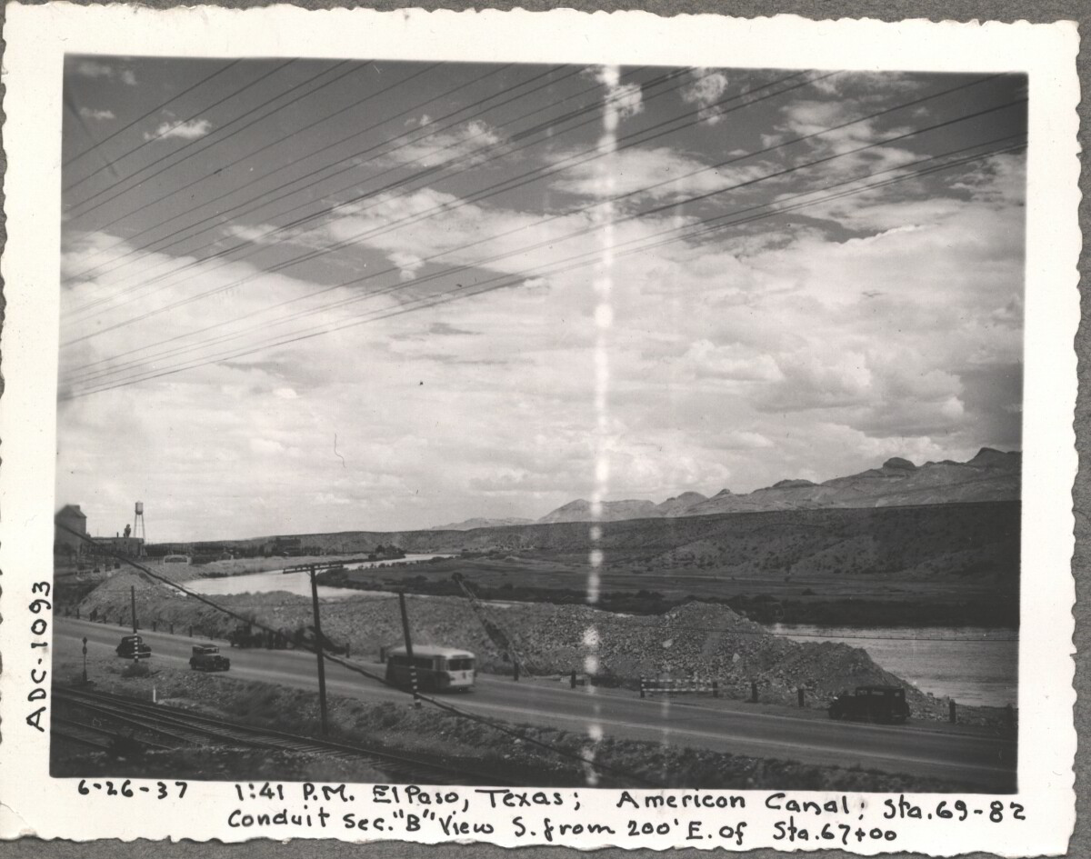
American Canal, 1937

Note: 6-26-37, 1:41pm, El Paso, Texas; American Canal; sta. 69-82 Conduit sec. "B" View S. from 200' E. of Sta. 67+00 For centuries the Rio Grande River has been used as a source of irrigation water for agriculture in the El Paso – Juarez area. In 1889 the governments of the United States and Mexico established the International Boundary Commission (IBC), in 1944 renamed the International Boundary and Water Commission (IBWC). One of its early actions was to discuss delivery of Rio Grande water to Mexico. In 1906, the two countries agreed to deliver 60,000 acre-feet of water annually to Mexico at the main irrigation Canal in Ciudad Juarez, known as Acequia Madre. The canal's mouth is two miles downstream from the international border. The remainder of the water would be used by American farmers in the ninety-mile-long El Paso valley. In times of drought both Mexican and American shares would be reduced on a percentage basis. The system did not provide a way for the United States to allot Mexico its rightful portion and keep the rest. As a result, Mexico took its share first and channeled the remainder into the Franklin Canal for the farms in the El Paso valley. According to some American estimates this permitted Mexico to siphon off up to three times its portion of irrigation water. Responding in 1935, Congress authorized two diversionary projects, the American Dam and the American Canal. The dam caught the water in New Mexico short of the international border, measured Mexico's share and allowed it to continue to the Acequia Madre, and diverted everything else into the American Canal, a two-mile feeder leading to the Franklin Canal. The American Canal parallels West Paisano Drive (US Highway 85) and the Burlington Northern Santa Fe Railroad track. The project has proved a successful solution to the problem of dividing the waters. Sources: http://www.tshaonline.org/handbook/online/articles/rua03 http://www.ibwc.gov/Files/EnvironmentalAssessment.pdf

Area: Central / Smeltertown

Source: IBWC

Uploaded by: El Paso Museum of History

Comments

Add a comment
Thank you for your comment

Report this entry

Choose the most important reason for this report

Your name

Your email address

Optional detail

Thank you for your report

More from the same community-collection

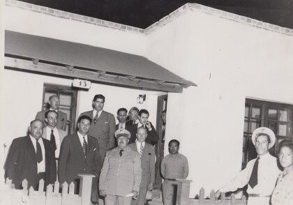
Inauguration of the Police Subdivision

1947 Carlos Villarreal, Mayor of Juarez, Foglio Miramontes, ...

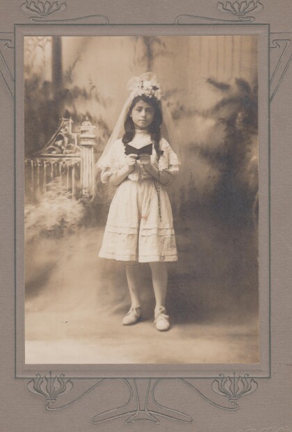
Guadalupe Licon's first communion. Rosemary Gereda's grandmother

1908 - Lupita was the sister of the mother of Lucy, Martha and ...

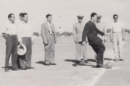
1948-Ignacio Angulo 20 de Noviembre First Kick Ceremony

1948- The City Administrator, Ignacio Angulo during the First ...

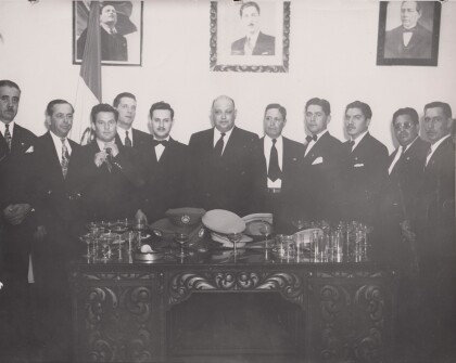
1947 newly elected municipality of Juarez, Chihuahua

Among others, left to right, El "Guero Fortuno", Lic. Ignacio ...

1948-Juarez Authorities at Fort Bliss

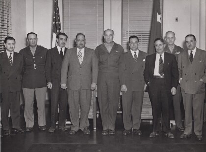
1948 Generals from Fort Bliss hosting a visit to Fort Bliss in ...

El Paso's 7th Wall Of Giants Exhibit - 2017

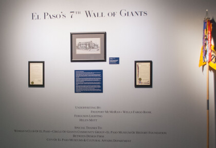
El Paso's 7th Wall Of Giants - 2017 - Woman Club of El Paso, ...

El Paso's 7th Wall Of Giants Exhibit - 2017

El Paso's 7th Wall Of Giants - 2017 - Woman Club of El Paso, ...

The Woman' s Club - 2017

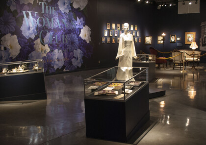
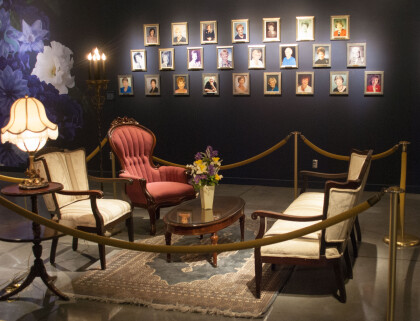
Photograph of the exhibit for the Woman's Club - El Paso, Texas.

The Woman' s Club - 2017

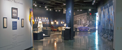
Photograph of the Woman's Club exhibit at the El Paso Museum of ...

Model For First Steps Exhibit - 2017

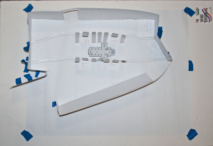
Photograph of model for the exhibit "First Steps"- exhibit ...

Model For First Steps Exhibit - 2017

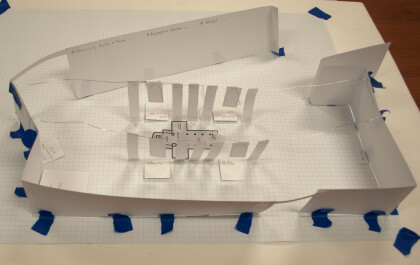
Photograph of model for the exhibit "First Steps"- exhibit ...

First Steps Exhibit Ribbon Cutting Ceremony - 2017

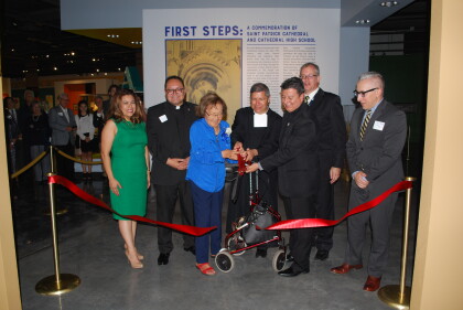
The Grand Opening ceremony for the exhibit "First Steps" ...

First Day of School - El Paso, Texas - 2017

First day of school fall 2017 at Purple Heart Elementary, a new ...

Jose and Domitila Rodriguez-1935

Photo of Rene A. Valenzuela's maternal grandparents late 1930's; ...
Maria de Jesus Rodriguez-1927

Photograph of my mother Miss Maria de Jesus Rodriguez taken in ...
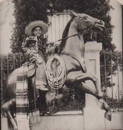
Heriberto J. Valenzuela-1927

Photograph of my father, Heriberto J. Valenzuela, taken in a ...
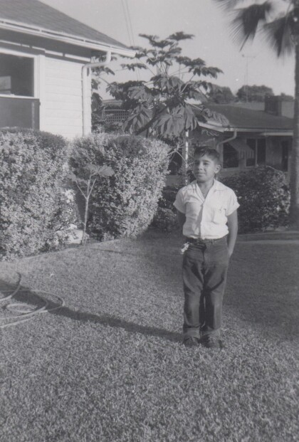
Maria de Jeus Valenzuela-1930

Photograph of my mother, Mrs. Maria de Jesus Valenzuela, around ...

Rene A. Valenzuela-1953
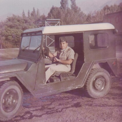
My photograph from second grade at Resurrection School in Los ...

Rene A. Valenzuela-1955

Tourist photograph of me in Cd. Juarez, Chihuahua, Mexico on ...

Rene A. Valenzuela-1956

Photograph of me in 1956 in front of my sister, Angie's house on ...

Rene A. Valenzuela-1960

My eighth grade photograph from St. Joseph's Parochial School in ...

LT. Rene A. Valenzuela-1969

Photograph of me as a US Army Corps of Engineers Lieutenant ...

LT. Rene A. Valenzuela-1969

1LT in the "Modern Action Army", photograph of me in the ...

home.search_collection