El Paso Geology and Nature

El Paso Geology and Nature

El Paso Geology and Nature

El Paso Geology and Nature

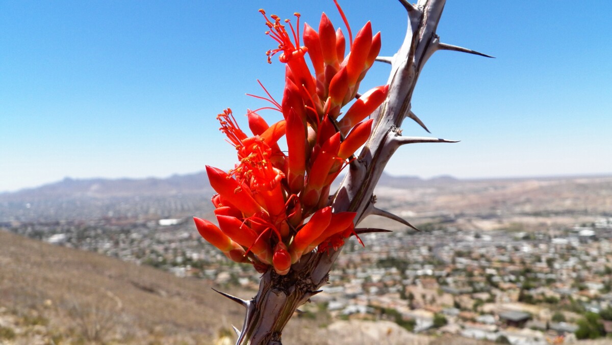
Ocotillo Bloom

Ocotillo Bloom, Crazy Cat Mountain, west Franklins, with Mission Hills neighborhood and UTEP in the background, 2013.

Area: Westside / Mission Hills

Source: Karl Rimkus

Uploaded by: Karl Rimkus

Comments

Add a comment
Thank you for your comment

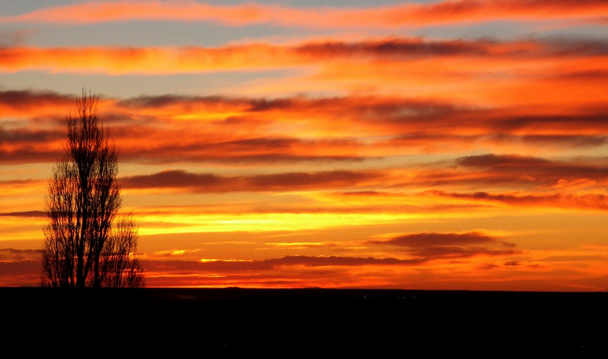
Fire in the Sky

Sunset from the west slopes of the Franklins on N. Stanton St. looking west into the New Mexico desert.

Area: Westside / Mesa Hills

Source: Karl Rimkus

Uploaded by: Karl Rimkus

Comments

Add a comment
Thank you for your comment

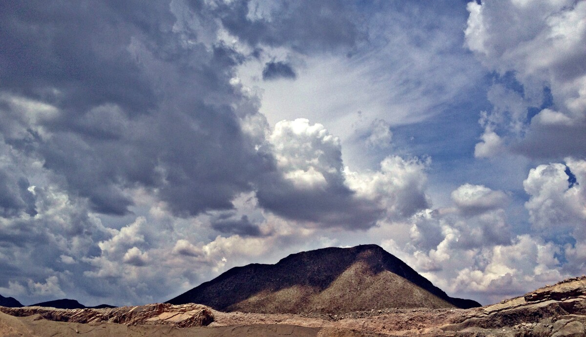
Sugar Loaf Mountain - El Paso, Texas

Sugar Loaf Mountain in northeast El Paso off Alabama St., near the Jobe/Cemex McKelligon quarry.

Area: Northeast / Franklin Mountains

Source: Karl Rimkus

Uploaded by: Karl Rimkus

Comments

Add a comment
Thank you for your comment

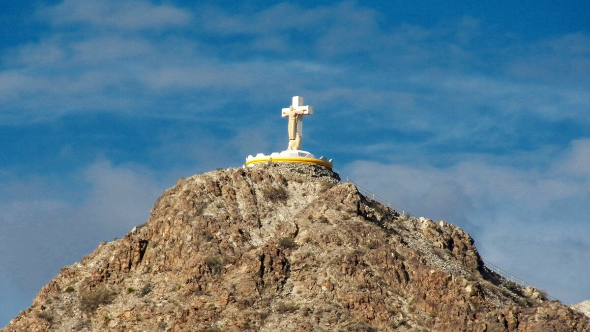
Mt. Cristo Rey

Christ the King sculpture on Mt. Cristo Rey, 2012, view facing west; sculpture by Urbici Soler.

Area: Central / Smeltertown

Source: Karl Rimkus

Uploaded by: Karl Rimkus

Comments

Add a comment
Thank you for your comment

Report this entry

Choose the most important reason for this report

Your name

Your email address

Optional detail

Thank you for your report

More from the same community-collection

Windy City - Video

Mckelligon Canyon Amphitheatre - the band Windy City performing ...

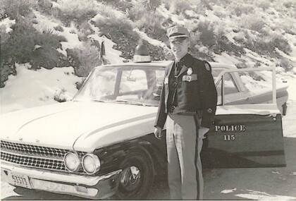
El Paso Police Officer Ed Agan - 1962

Each marked patrol or traffic unit carried a black, clip-on flag ...

Making every moment count.

Wyler Ariel Tramway 05/2014

Good old fashion little league baseball.

Watching my nephew, J.R. play baseball.

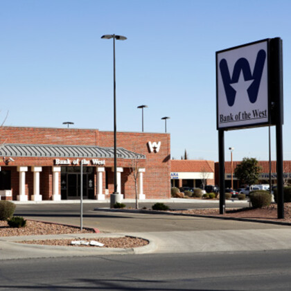
Bank of the West Opens Branch in Northeast El Paso

2007: Bank of the West expands into Northeast El Paso with its ...

Beautiful Clouds at Tmechs

While I was on my way to class I saw the clouds overhead and ...

Mammoth Rock or Gunsight Pass

View of Mammoth Rock, at the top of Mammoth Trunk Trail (part of ...

Mammoth Rock

Close-up view of Mammoth Rock, that sits right under South ...

North Franklin Peak

Highest point in the Franklin Mountains: 7,192 feet.

View of the Westside from Mammoth Rock

View of the Westside and Upper Valley, and Mount Cristo Rey from ...

Wyler Aerial Tramway

Wyler Aerial Tramway on its way up to Ranger Peak.

Old Cable Car

Old cable car.

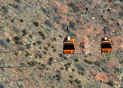
Tramways Crossing

Tramways crossing.

El Paso and Juarez Vista

View of El Paso and Juarez from the top of Ranger Peak.

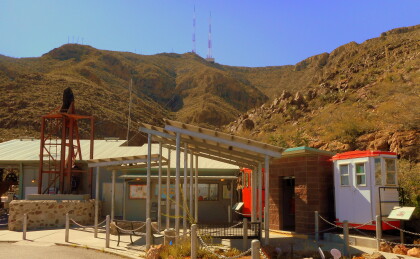
Wyler Aerial Tramway

Wyler Aerial Tramway park building.

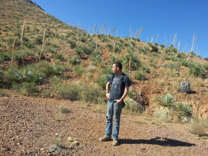
Hiking to the tin mines

Selso Martinez hiking with me to the Tin Mines in the Franklin ...

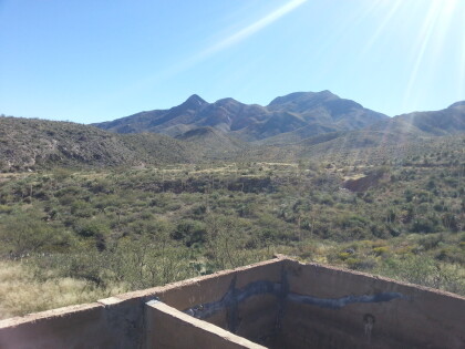
The view from below the old tin mines in the Franklin Mountains

Jut before getting up to the tin mines we took a detour to ...

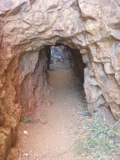
The entrance to the mines

This is one of the entrances to the mines in Franklin Mountains ...

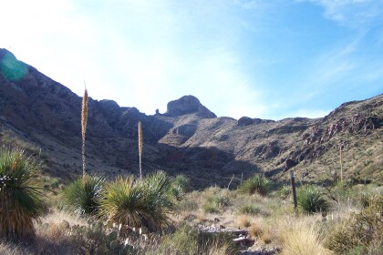
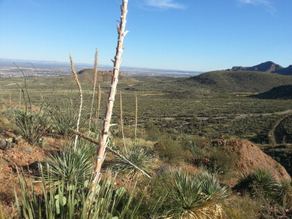
Yucca and The Sky

A view of desert flora and the endless sky.

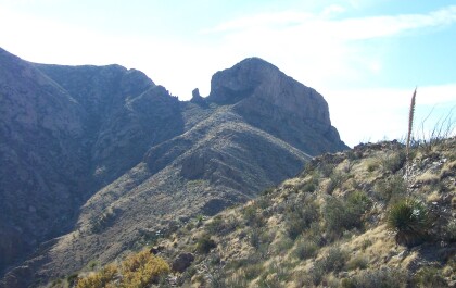
The Foothills

One of the foothills of the Franklin Mountains.

Family Trip to Wyler Aerial Tramway

One of the first places we went to after moving here.

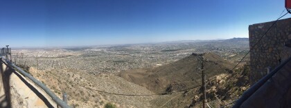
Panoramic View from the Wyler Aerial Tramway

We saw three states (Texas, New Mexico, and Chihuahua) and two ...

View From the parking lot at the bottom of the Tramway

This was before we bought our tickets to go to the top.
home.search_collection