DIGIE II

DIGIE II

DIGIE II

DIGIE II

DIGIE II

DIGIE II

DIGIE II

DIGIE II

DIGIE II

DIGIE II

DIGIE II

DIGIE II

DIGIE II

DIGIE II

DIGIE II

DIGIE II

DIGIE II

DIGIE

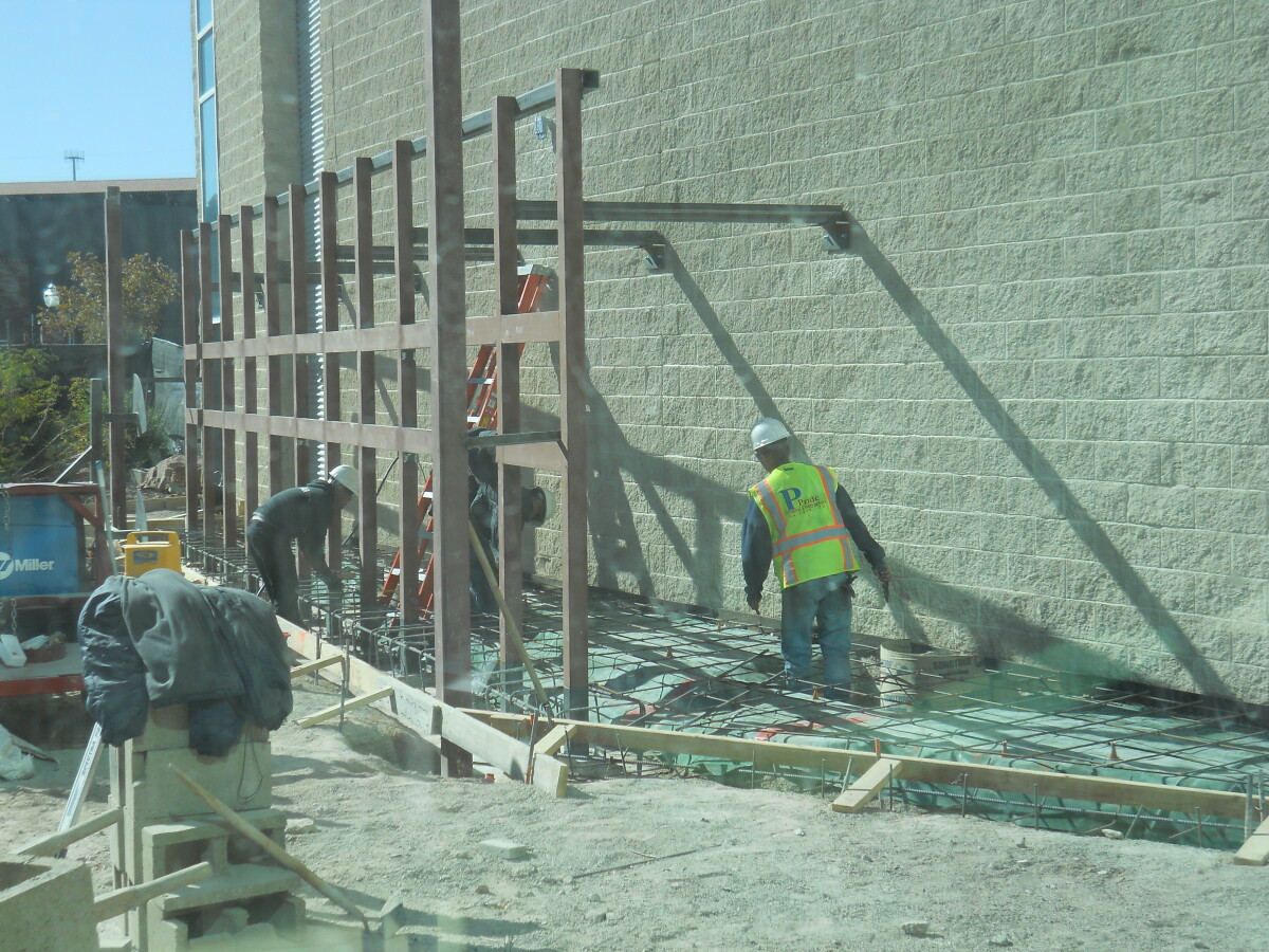
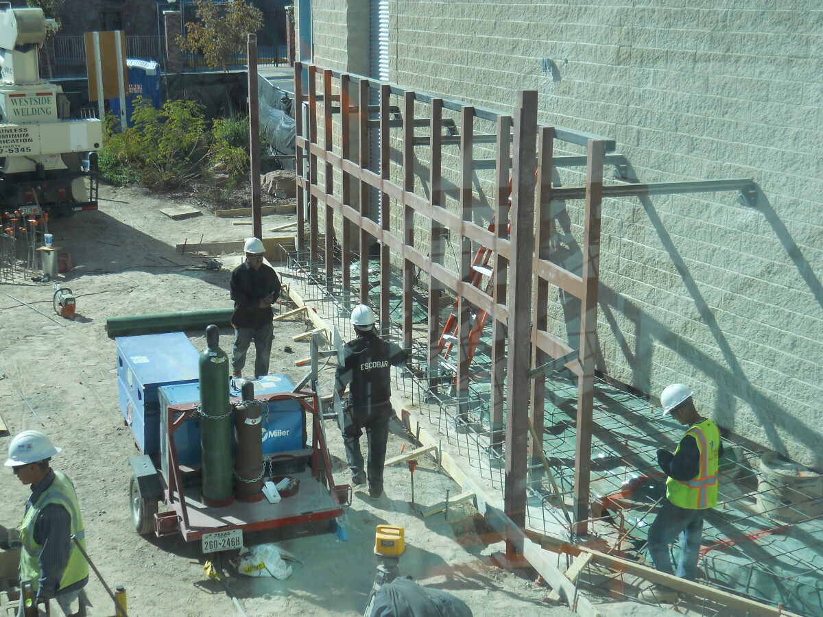
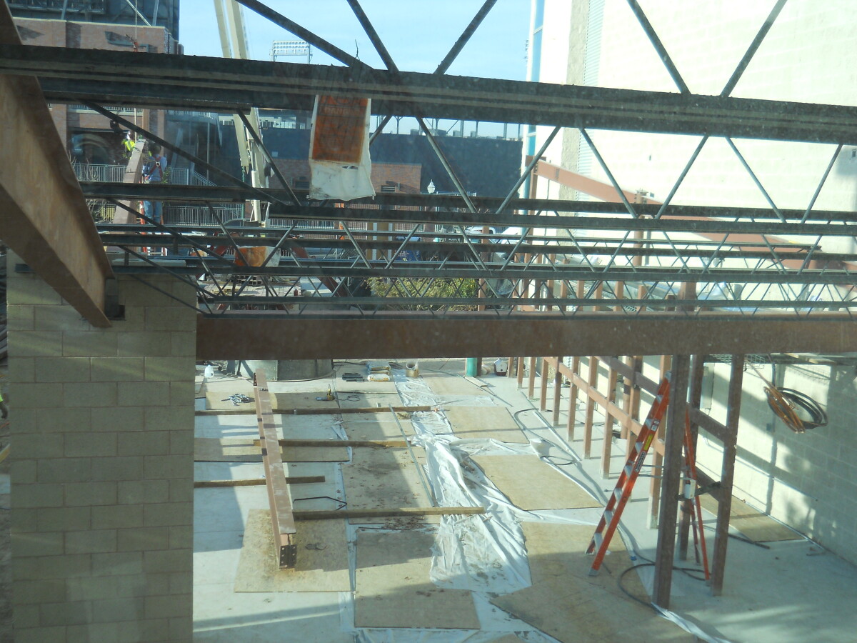
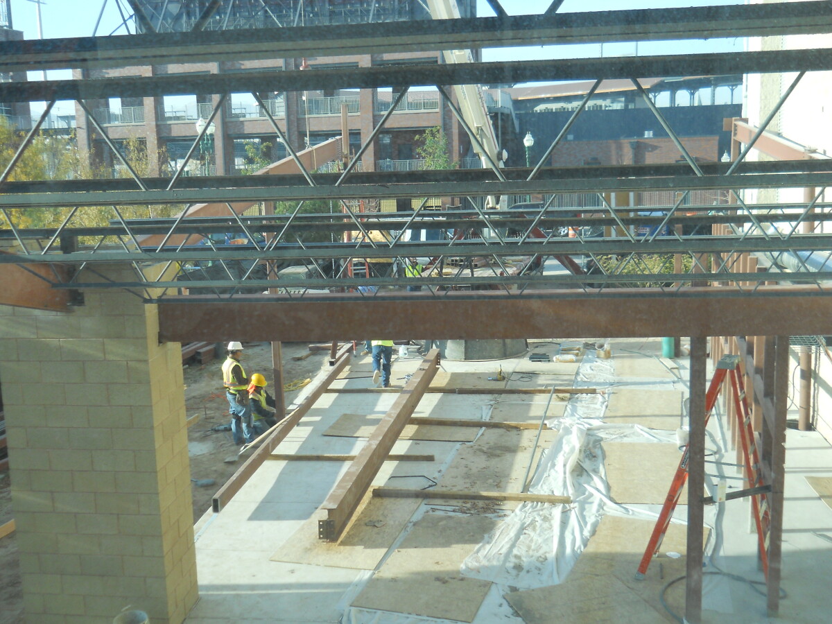
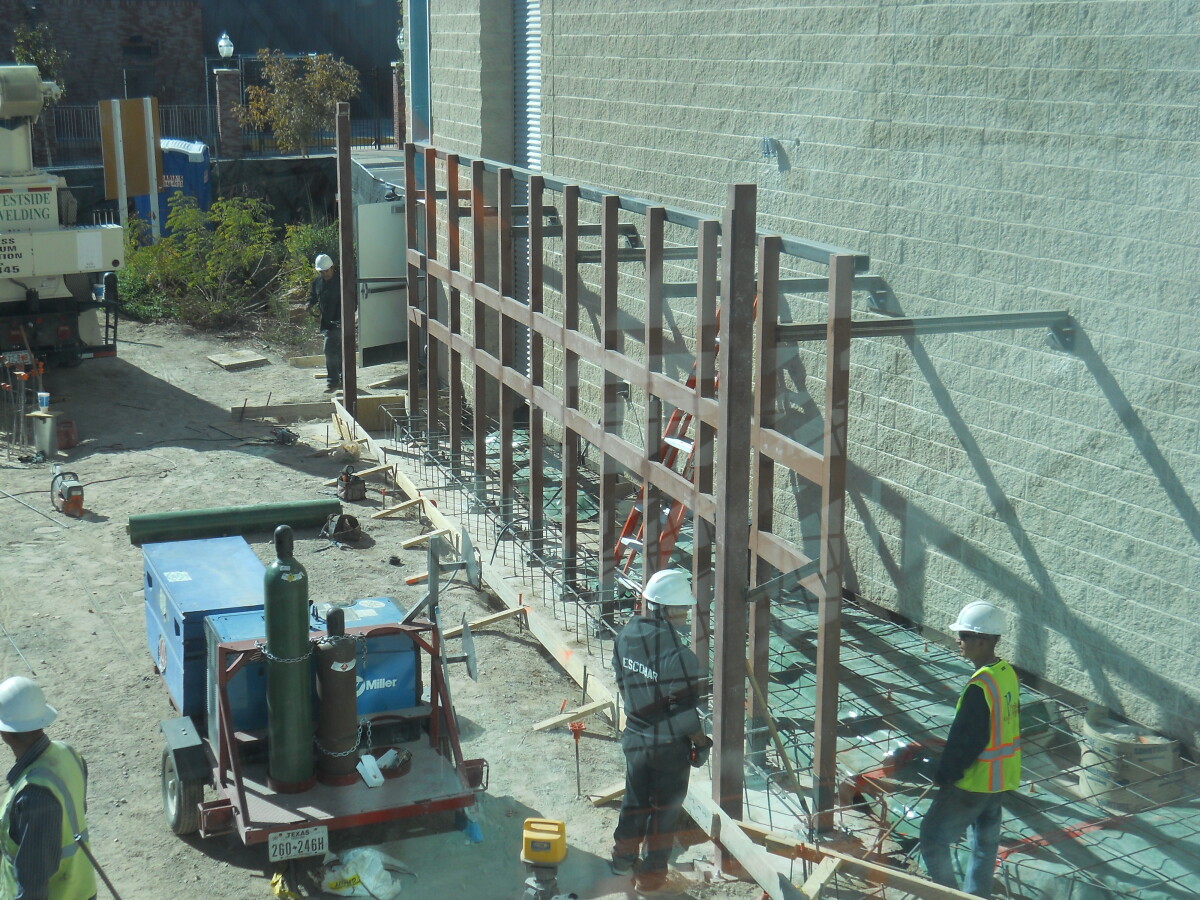
Construction on the digital wall in front of El Paso Museum of History. Located downtown El Paso, Texas.

Area: Central / Downtown

Source: EPMH

Uploaded by: El Paso Museum of History

Comments

Add a comment
Thank you for your comment

DIGIE

DIGIE - November 18, 2014-contruction on the digital wall.

Area: Central / Downtown

Source: EPMH

Uploaded by: El Paso Museum of History

Comments

Add a comment
Thank you for your comment

DIGIE

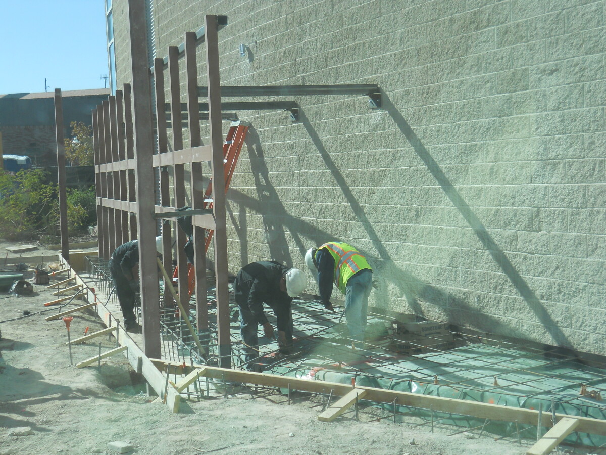
DIGIE - November 18, 2014-contruction on the digital wall.

Area: Central / Downtown

Source: EPMH

Uploaded by: El Paso Museum of History

Comments

Add a comment
Thank you for your comment

DIGIE

DIGIE - November 18, 2014-contruction on the digital wall.

Area: Central / Downtown

Source: EPMH

Uploaded by: El Paso Museum of History

Comments

Add a comment
Thank you for your comment

DIGIE

DIGIE - November 18, 2014-contruction on the digital wall.

Source: EPMH

Uploaded by: El Paso Museum of History

Comments

Add a comment
Thank you for your comment

DIGIE

DIGIE - November 18, 2014-contruction on the digital wall.

Area: Central / Downtown

Source: EPMH

Uploaded by: El Paso Museum of History

Comments

Add a comment
Thank you for your comment

DIGIE

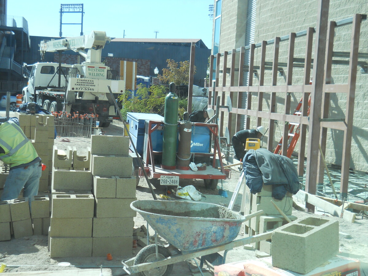
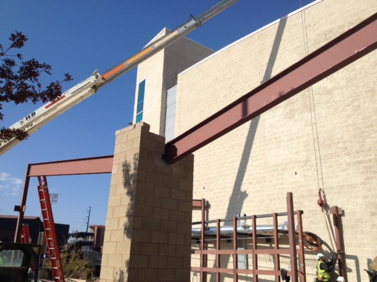
Construction for the Digital Wall in December of 2014.

Area: Central / Downtown

Source: EPMH

Uploaded by: El Paso Museum of History

Comments

Add a comment
Thank you for your comment

DIGIE

Construction for the Digital Wall in December of 2014.

Area: Central / Downtown

Source: EPMH

Uploaded by: El Paso Museum of History

Comments

Add a comment
Thank you for your comment

DIGIE

Construction for the Digital Wall in December of 2014.

Area: Central / Downtown

Source: EPMH

Uploaded by: El Paso Museum of History

Comments

Add a comment
Thank you for your comment

DIGIE

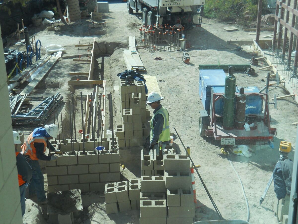
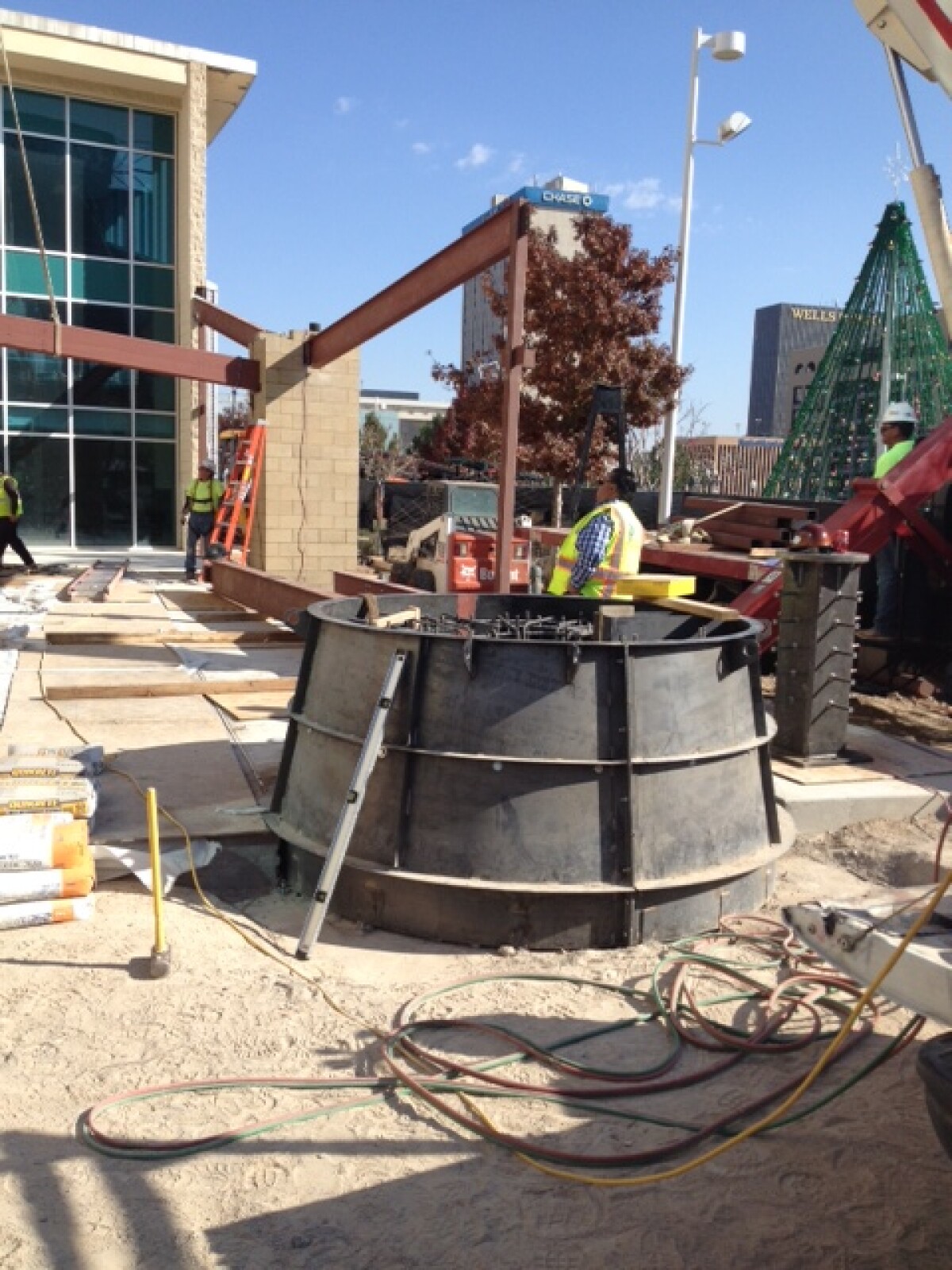
Construction of DIGIE - December 12, 2014.

Area: Central / Downtown

Source: EPMH

Uploaded by: El Paso Museum of History

Comments

Add a comment
Thank you for your comment

DIGIE

Construction of DIGIE - December 12, 2014.

Area: Central / Downtown

Source: EPMH

Uploaded by: El Paso Museum of History

Comments

Add a comment
Thank you for your comment

DIGIE

Construction of DIGIE - December 12, 2014.

Area: Central / Downtown

Source: EPMH

Uploaded by: El Paso Museum of History

Comments

Add a comment
Thank you for your comment

DIGIE Mascot

DIGIE---created in the year 2014.

Area: Central / Downtown

Source: EPMH

Uploaded by: El Paso Museum of History

Comments

Add a comment
Thank you for your comment

DIGIE Mascot

DIGIE---created in the year 2014.

Area: Central / Downtown

Source: EPMH

Uploaded by: El Paso Museum of History

Comments

Add a comment
Thank you for your comment

DIGIE Mascot

DIGIE---created in the year 2014.

Area: Central / Downtown

Source: EPMH

Uploaded by: El Paso Museum of History

Comments

Add a comment
Thank you for your comment

DIGIE Mascot

DIGIE is born--mascot--year 2014.

Area: Central / Downtown

Source: EPMH

Uploaded by: El Paso Museum of History

Comments

Add a comment
Thank you for your comment

DIGIE

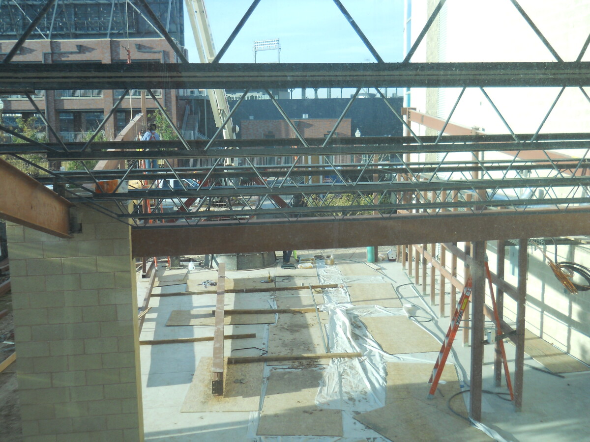
The digital wall construction continues during the month of December.

Area: Central / Downtown

Source: EPMH

Uploaded by: El Paso Museum of History

Comments

Add a comment
Thank you for your comment

Report this entry

Choose the most important reason for this report

Your name

Your email address

Optional detail

Thank you for your report

More from the same community-collection

Military Map of the Rio Grande Frontier

Military map of the Rio Grande frontier prepared from original ...

Texas the Lone Star State

Picturesque historical map of Texas with information on ...

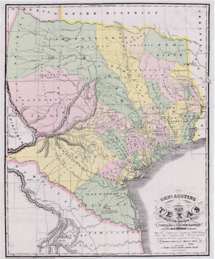
General Austin's Map of Texas with Parts of the Adjoining States

Colorful map of Texas highlighting the borders between states ...

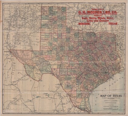
Map of Texas

This map of Texas includes colored divisions of counties with ...

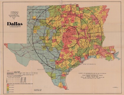
Dallas: Industrial and Distribution Center of the Southwest

Colorful market and distribution map of the Southwest - Texas, ...

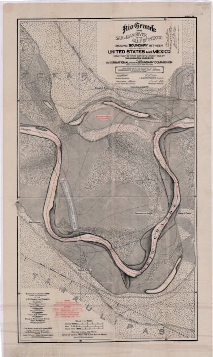
Rio Grande from San Juan River to the Gulf of Mexico

Map illustrates the Rio Grande from the San Juan River to the ...

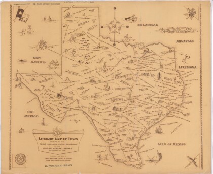
Literary Map of Texas

Illustrative literary map of Texas shows book titles and author ...

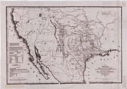
Texas and the Countries Adjacent

Map of Texas (1844) and its adjacent countries includes ...

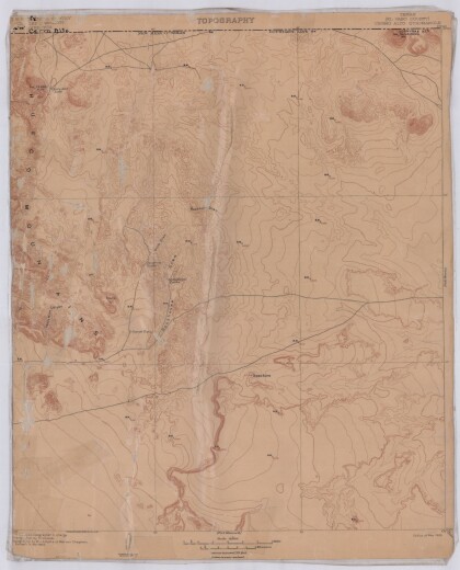
Topography, Texas El Paso County, Cerro Alto Quadrangle

Topographic map of El Paso County Cerro Alto Quadrangle. The ...

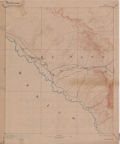
Map of Fort Hancock, Texas circa 1915

Topographical map indicating the location of Fort Hancock and ...

Reconnaissance Map: Texas Marfa

This topographic USGS map sheet indicates Marfa's surrounding ...

Topography: the University of Texas Mineral Survey

Topographic map of the Van Horn quadrangle in Texas. Indicates ...

Map of Texas and Part of New Mexico

Map of Texas and part of New Mexico compiled chiefly for ...

J. De Cordova's State of Texas

This geographical map of Texas was compiled from the records of ...

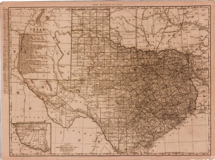
Texas

This Texas map illustrates county boundaries, railroad lines, ...

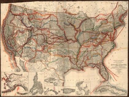
United States - Routes of Principal Explorers

This United States map colorfully illustrates routes taken by ...

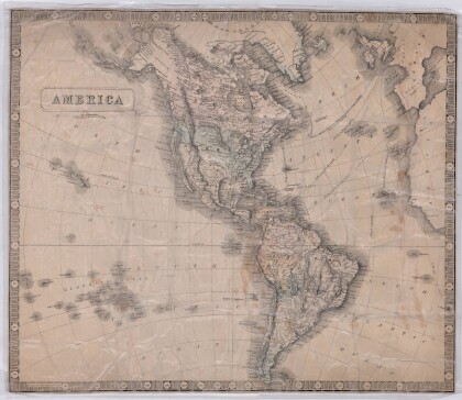
America

A sectional map showing the global location of America. Pale ...

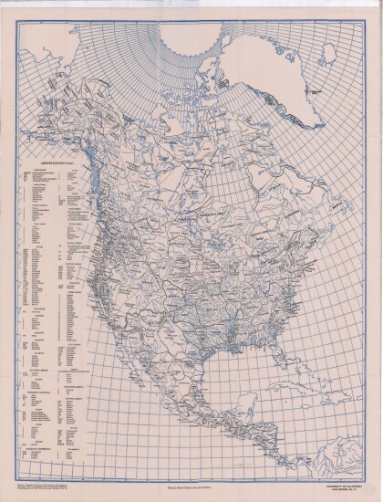
Native Tribes of North America

This University of California map from series number 13 ...

Map of the Rio Grande El Paso-Juarez Valley circa 1930

This map illustrates the river path between El Paso, Texas and ...

Map of Texas and the Countries Adjacent

This map of Texas and its adjacent countries was compiled for ...

Map of Southwestern United States Natural Gas Pipe Lines

This map illustrates natural gas pipelines extending from ...
EPBBHOF 2015-16-17

Album Cover

EPBBHOF 2012-13-14

Album Cover

home.search_collection