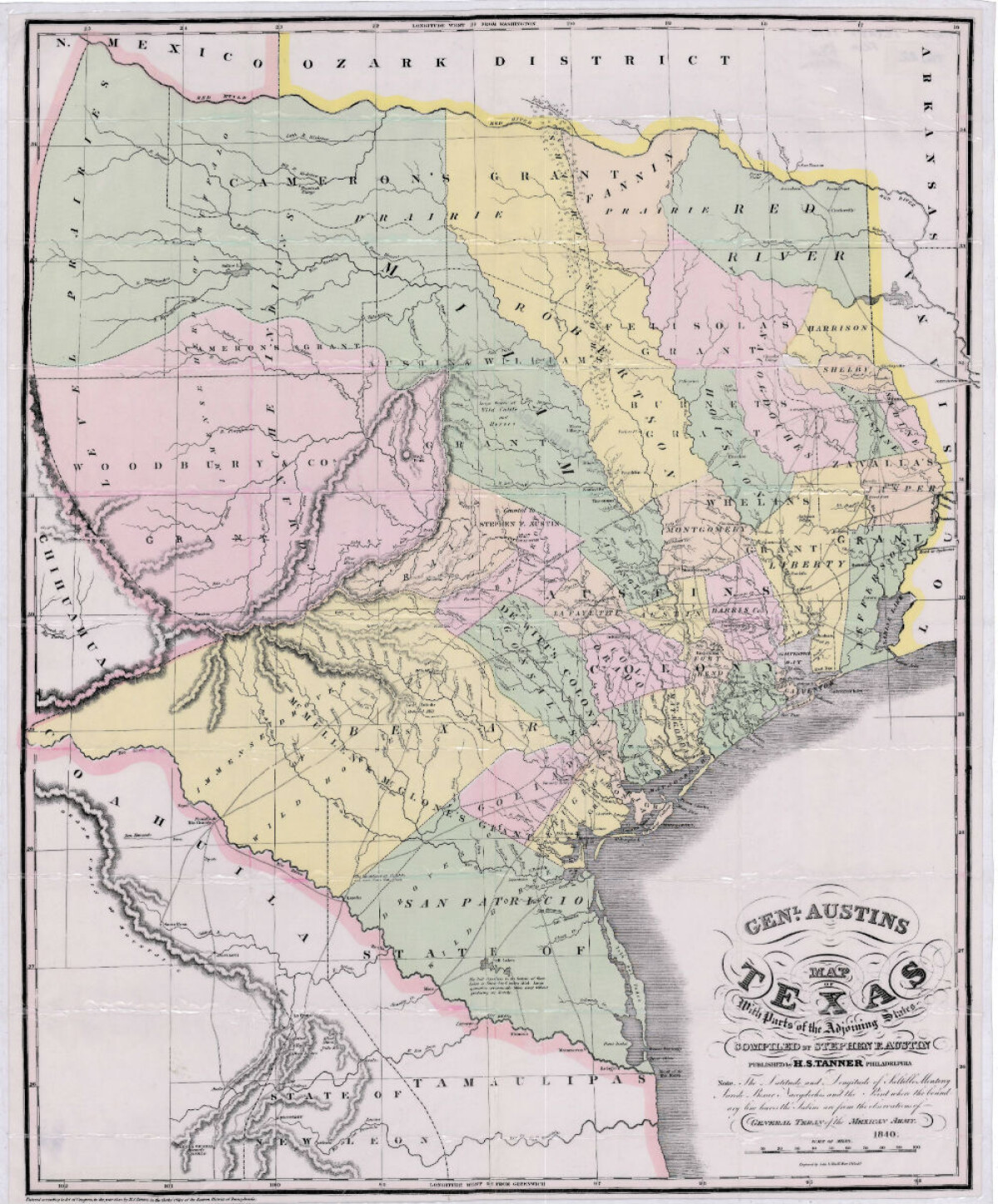
General Austin's Map of Texas with Parts of the Adjoining States
Mapa de Texas y partes de los estados colindantes por el General Austin

General Austin's Map of Texas with Parts of the Adjoining States
Colorful map of Texas highlighting the borders between states and with Mexico. Land grants are shown in bold text; topographical features, rivers, rios, cities and villages are pinpointed. Wildlife area concentrations are also indicated.