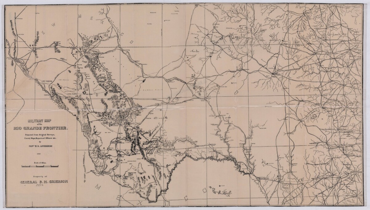
Military Map of the Rio Grande Frontier
Mapa militar de la frontera del Río Grande

Military Map of the Rio Grande Frontier
Military map of the Rio Grande frontier prepared from original surveys, county maps and reports from officers. Illustrates topographical features, rivers, mountains; the Salt road and trail; trails, creeks, lakes and proposed railway lines; fort locations cities and towns.