Official Map of El Paso, Texas
Mapa official de El Paso, Texas
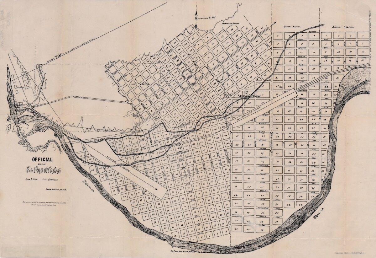
Official Map of El Paso, Texas

Official area map of El Paso, Texas. Includes streets, blocks and additions; railroad reserve lines; city limit lines; Scale is 400 feet per inch.

Area: Central / South Central

Source: Juan S. Hart, City Engineer

Uploaded by: Border Heritage Center

Comments

Add a comment
Thank you for your comment

Report this entry

Choose the most important reason for this report

Your name

Your email address

Optional detail

Thank you for your report

home.search_collection